
I have been to Yosemite a couple dozen times over the years. The park has many spectacular sights, spots and trails. It’s one of my absolute favorite places to visit. And I’ve always been able to walk away with stunning photos.
Had it not been for all those trips, I might have never taken an interest in photography—well not as seriously anyways. Many of the first photos I posted online—on this site—were taken in Yosemite.
Back in August my dad organized a trip to Yosemite with me, my uncle and brother-in-law. Our initial plan was to stay in the high country. Unfortunately, late snows caused damage and prevented the camps from opening for the summer. We were able to get rooms at the Yosemite Valley Lodge for a few nights though.
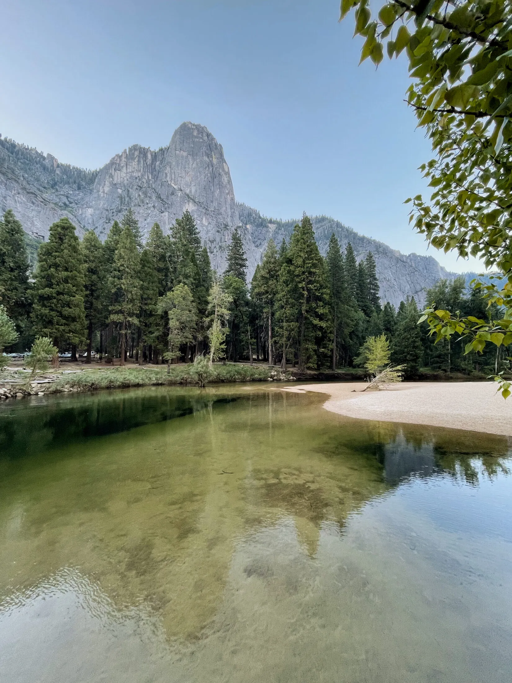
We flew into San Francisco, rented a car and made the four hour drive east to the park. We got to the entrance mid-afternoon, which allowed us to stop and take a few photos on the way in.
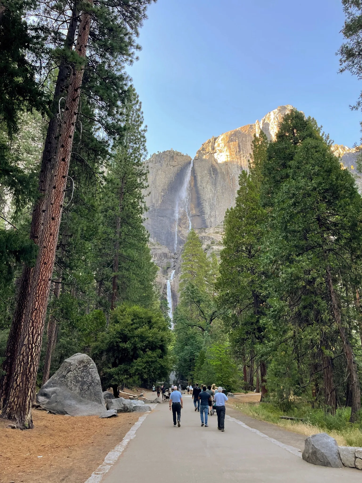
It was a pretty low-key evening. Once we checked in, we explored the area around the lodge—Yosemite Falls is across the street. Then we went to grab dinner and talked about our plan for the trip.
Day 1
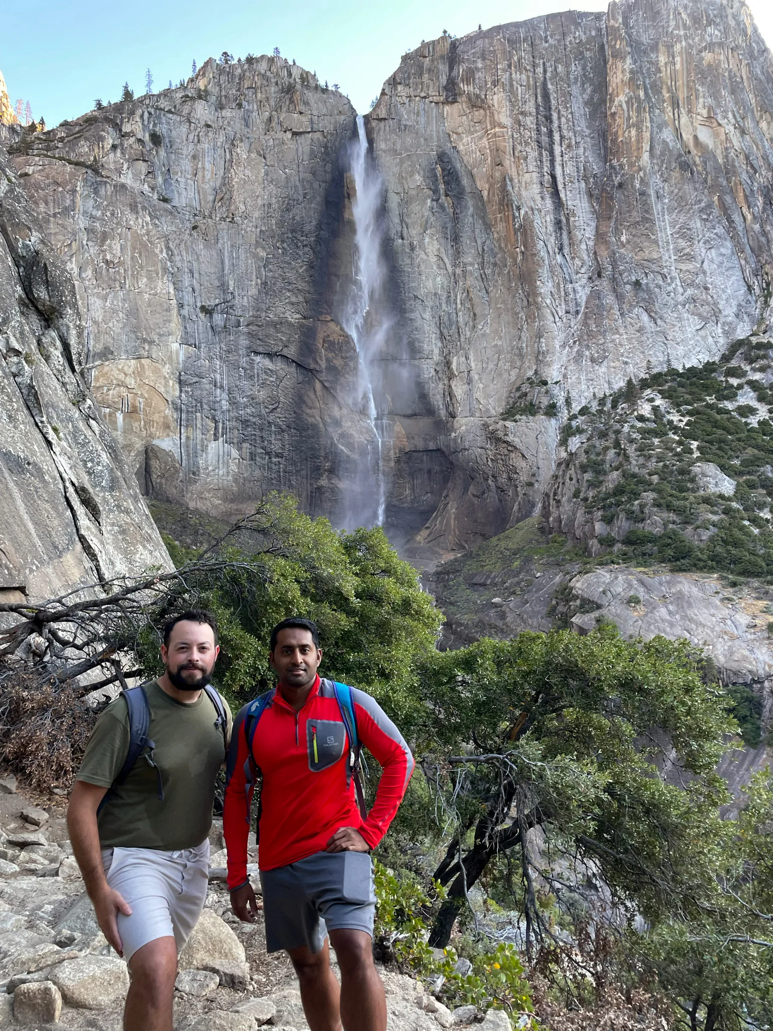
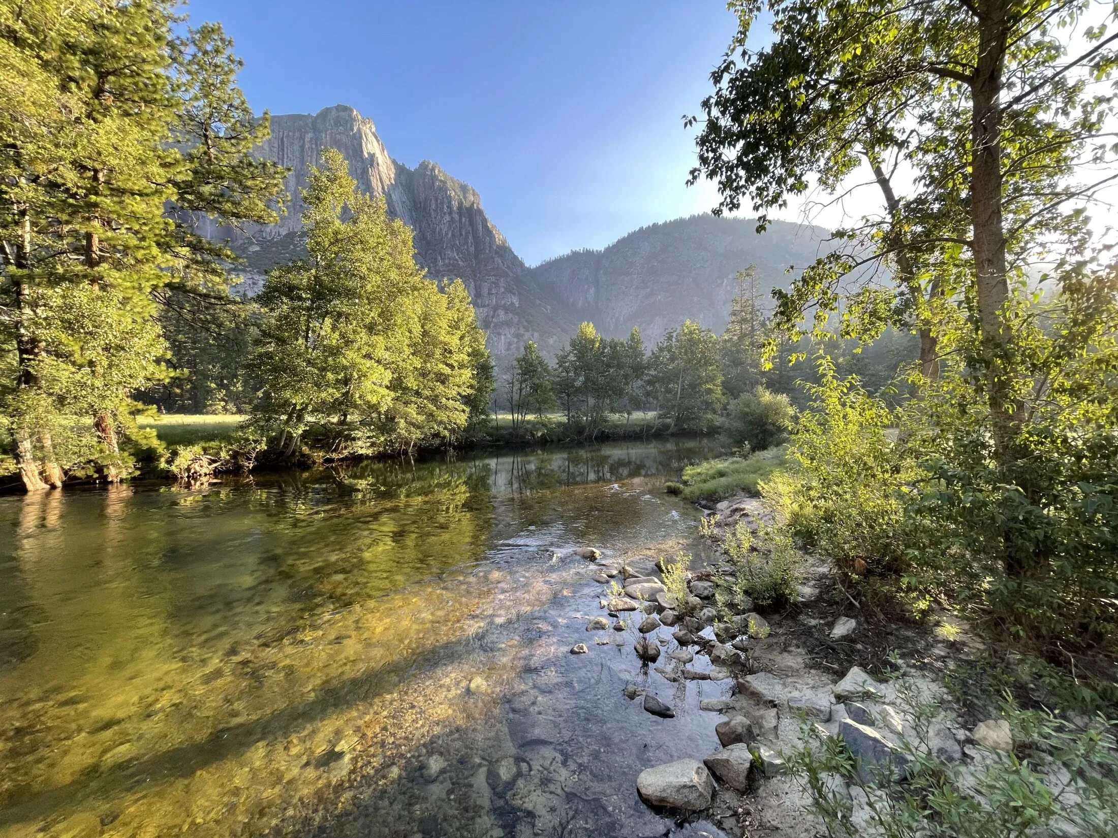
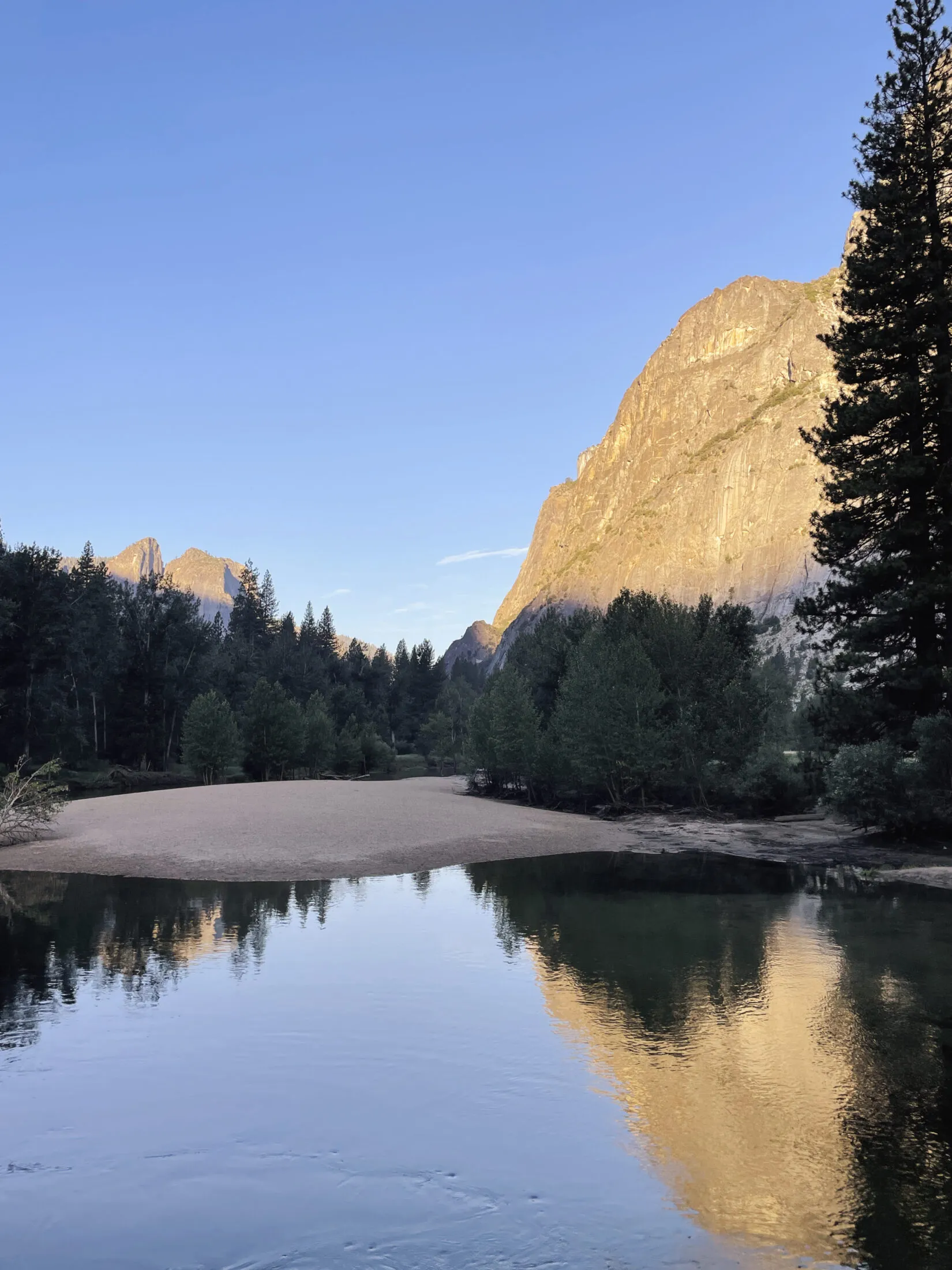
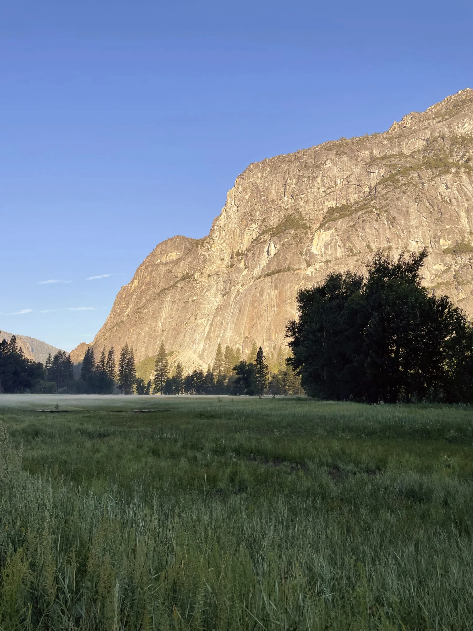
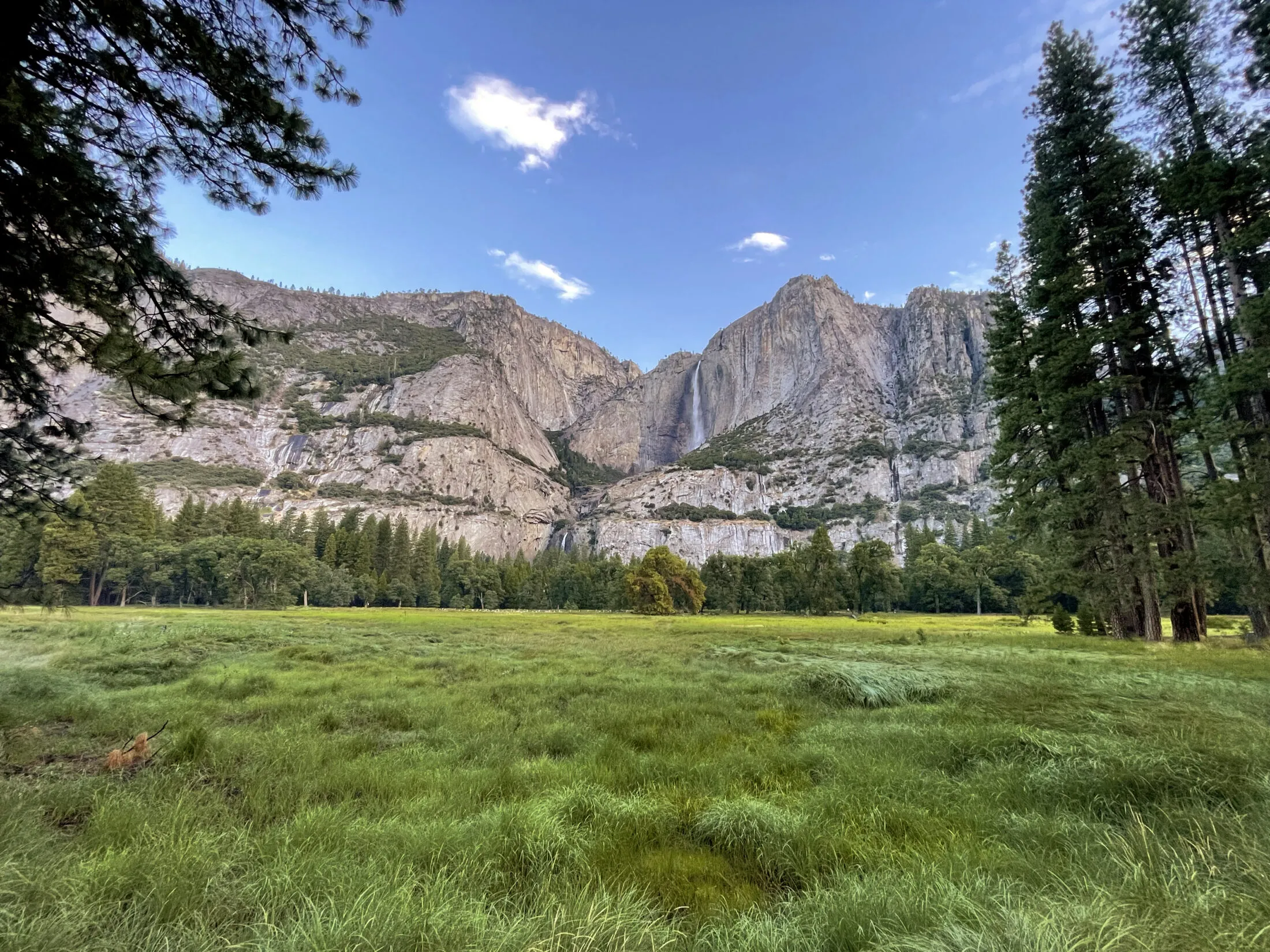
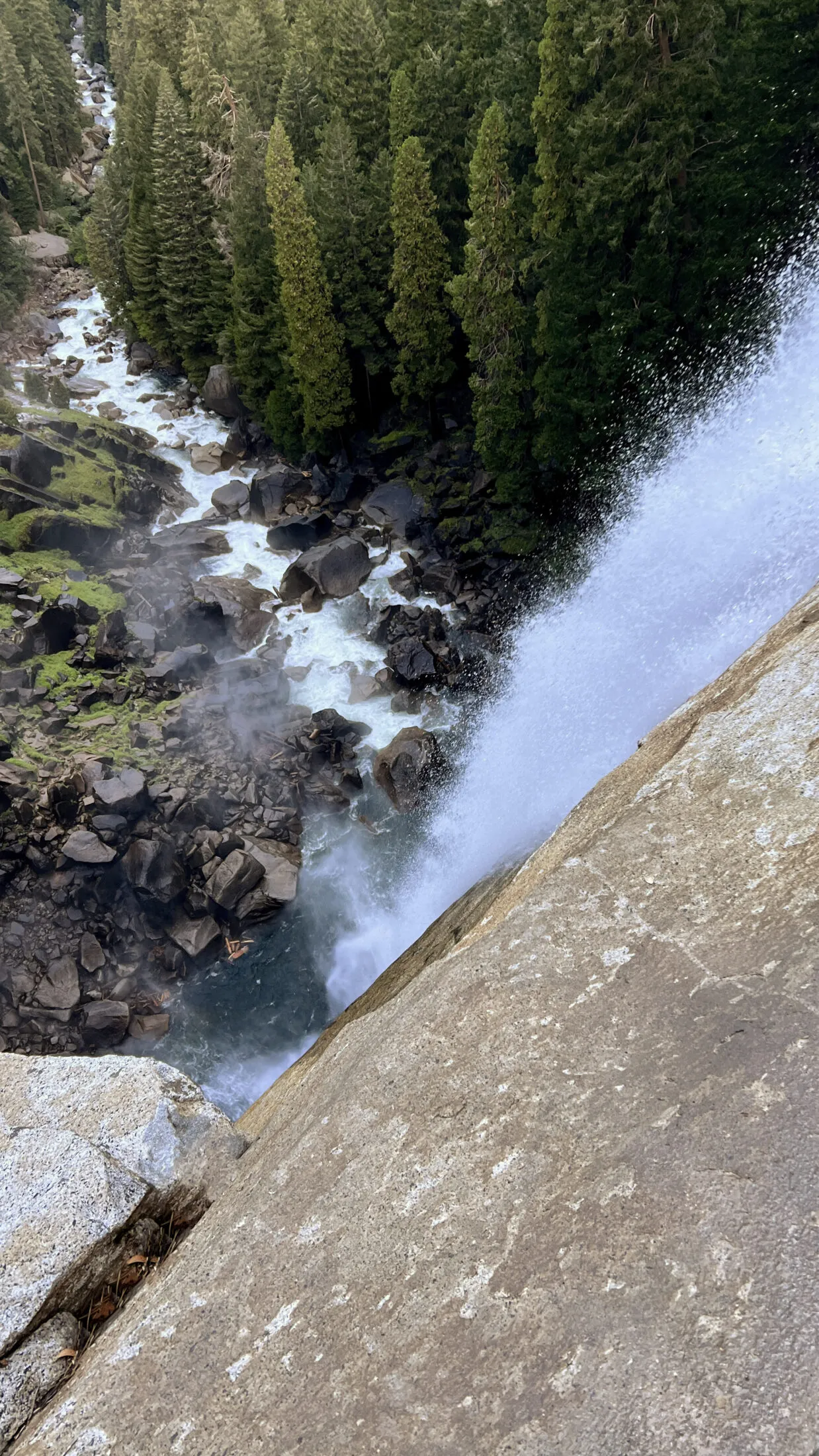
Upper (lower) Yosemite falls
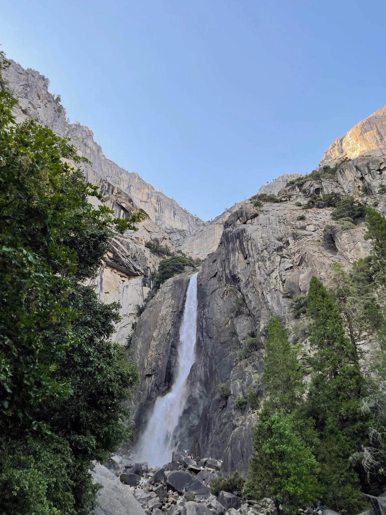
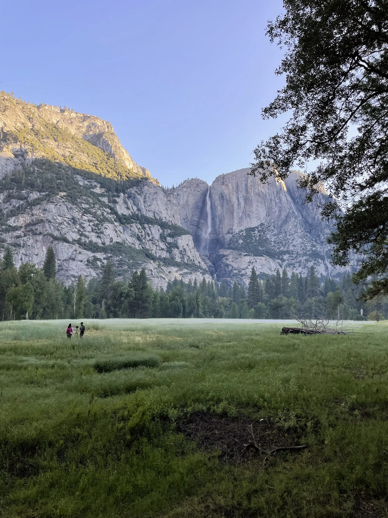
The first day, Andi and I decided to get up early and see if we could get a good view of the sunrise. The Upper Yosemite Falls trailhead was a short walk from where we were staying, and figured it wasn’t that far—about a mile and a half—to get to the top of the lower falls. We set out to get up and back before breakfast.
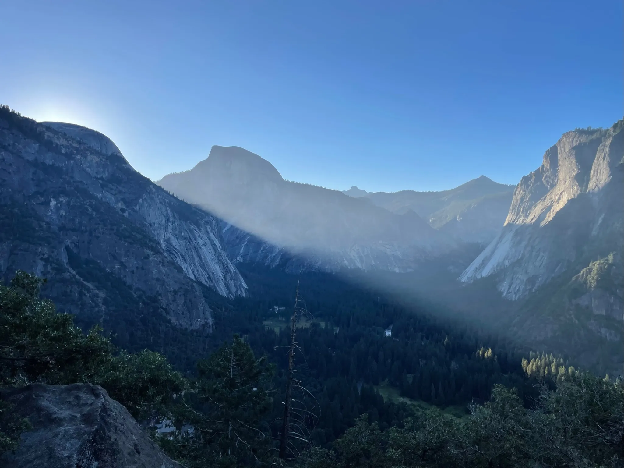
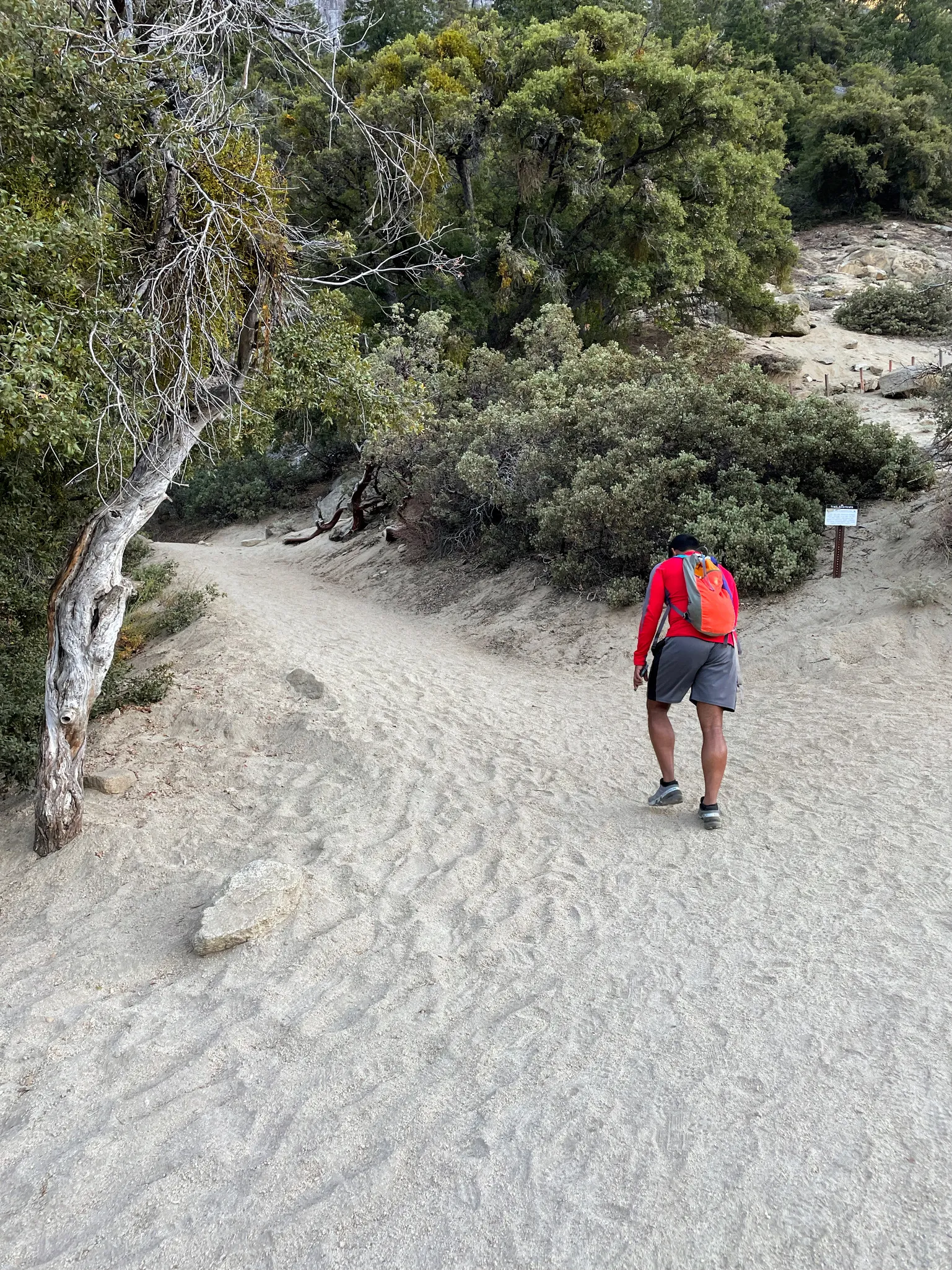
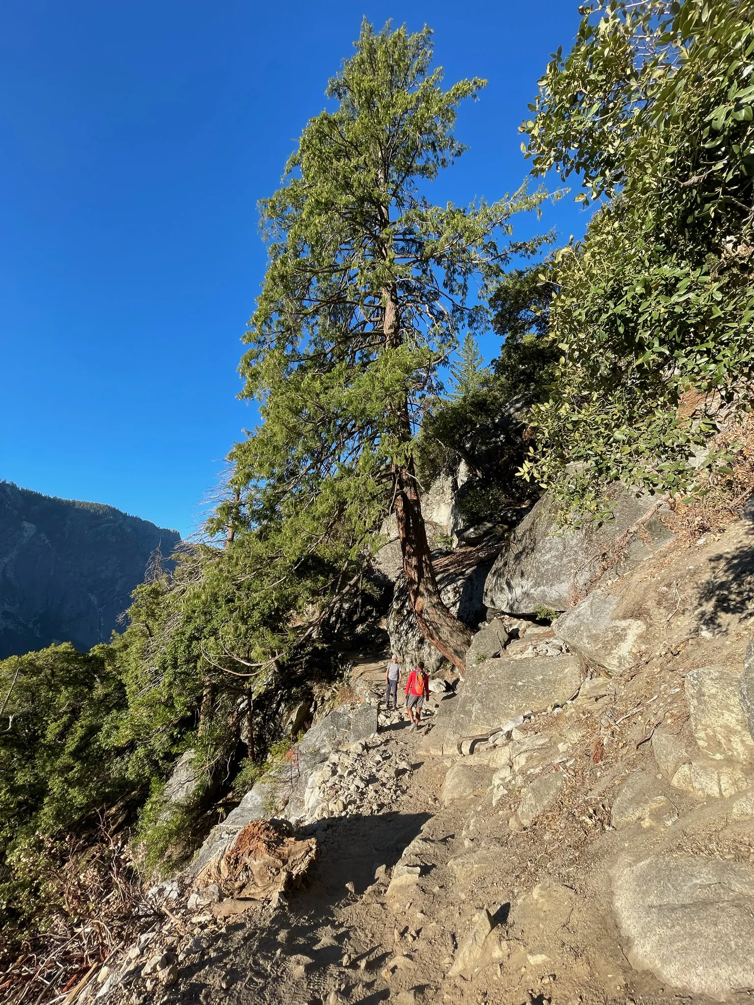
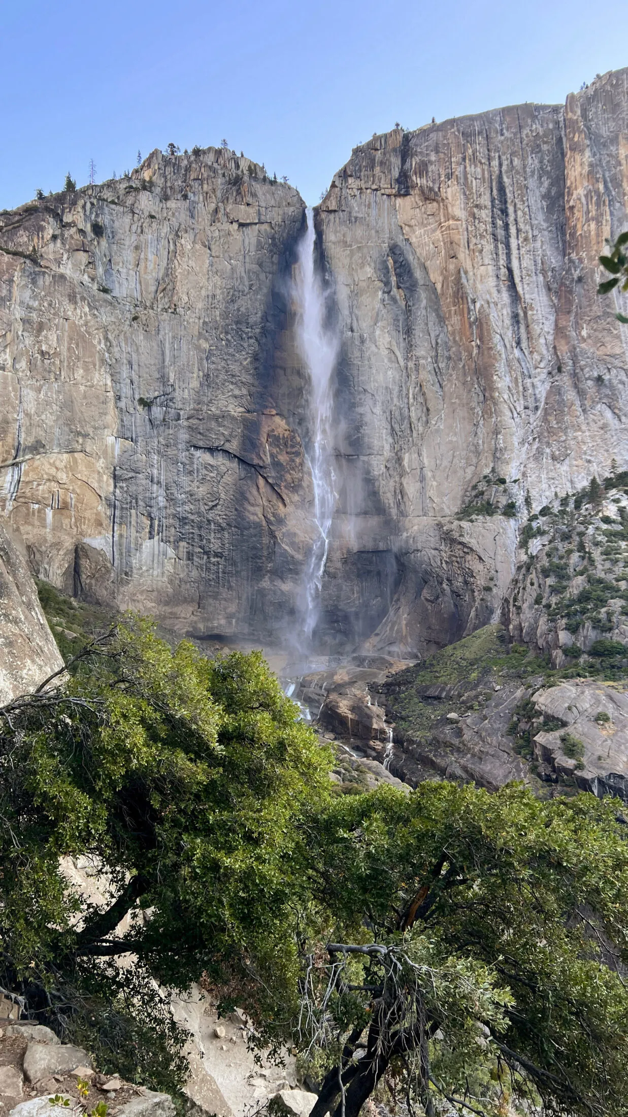
It was a short, but steep hike. The first mile is 800-foot ascent—nothing but switchbacks. It was a pretty tough first hike to start the trip. But seeing the first light creep over the mountains was spectacular.
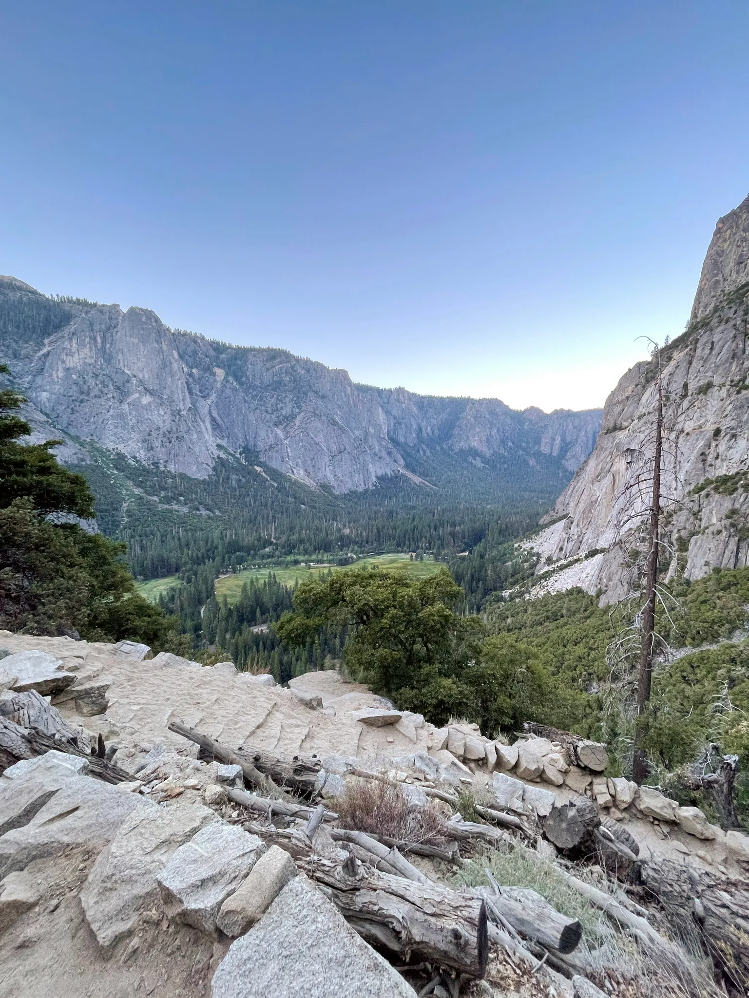
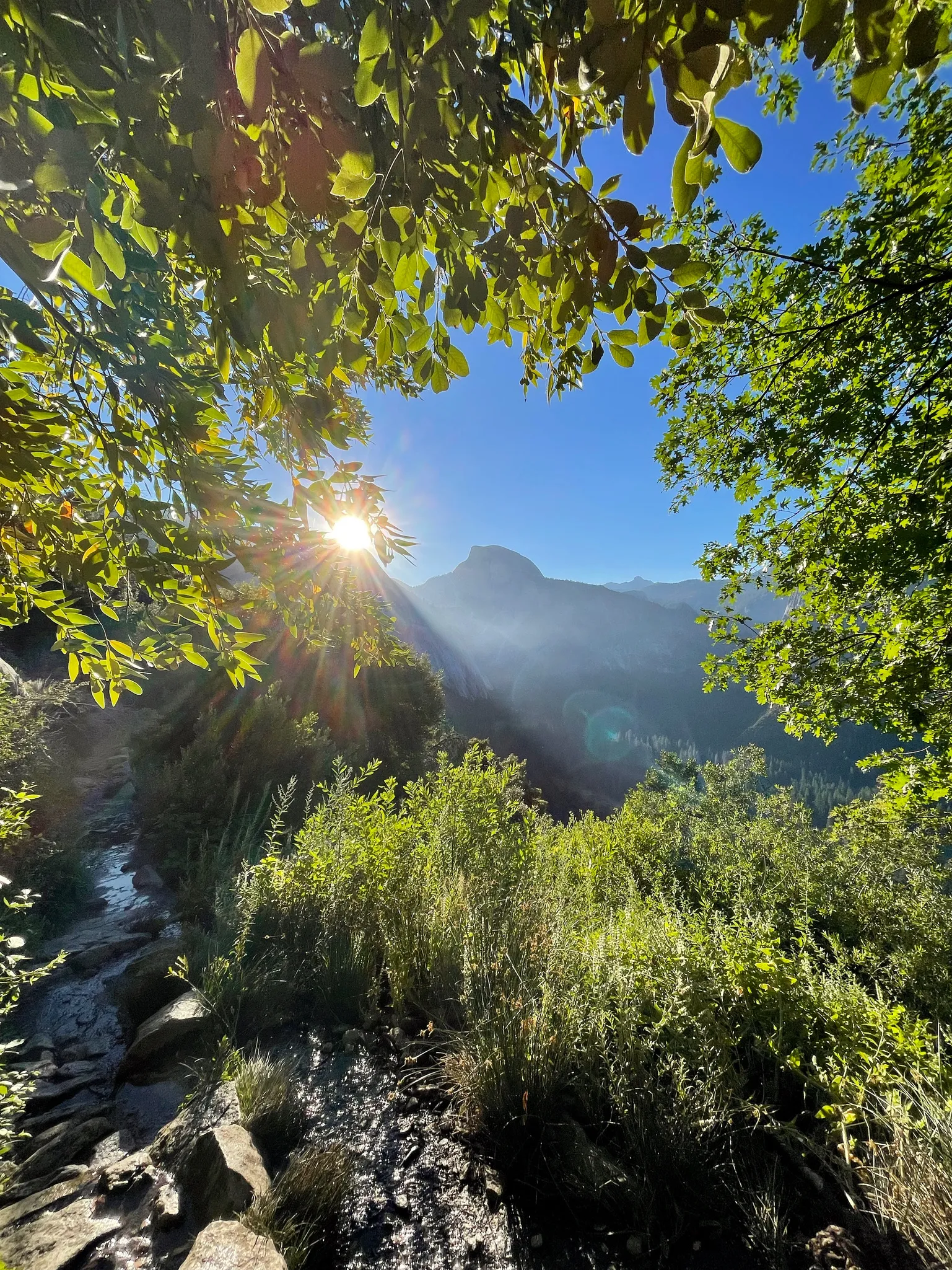
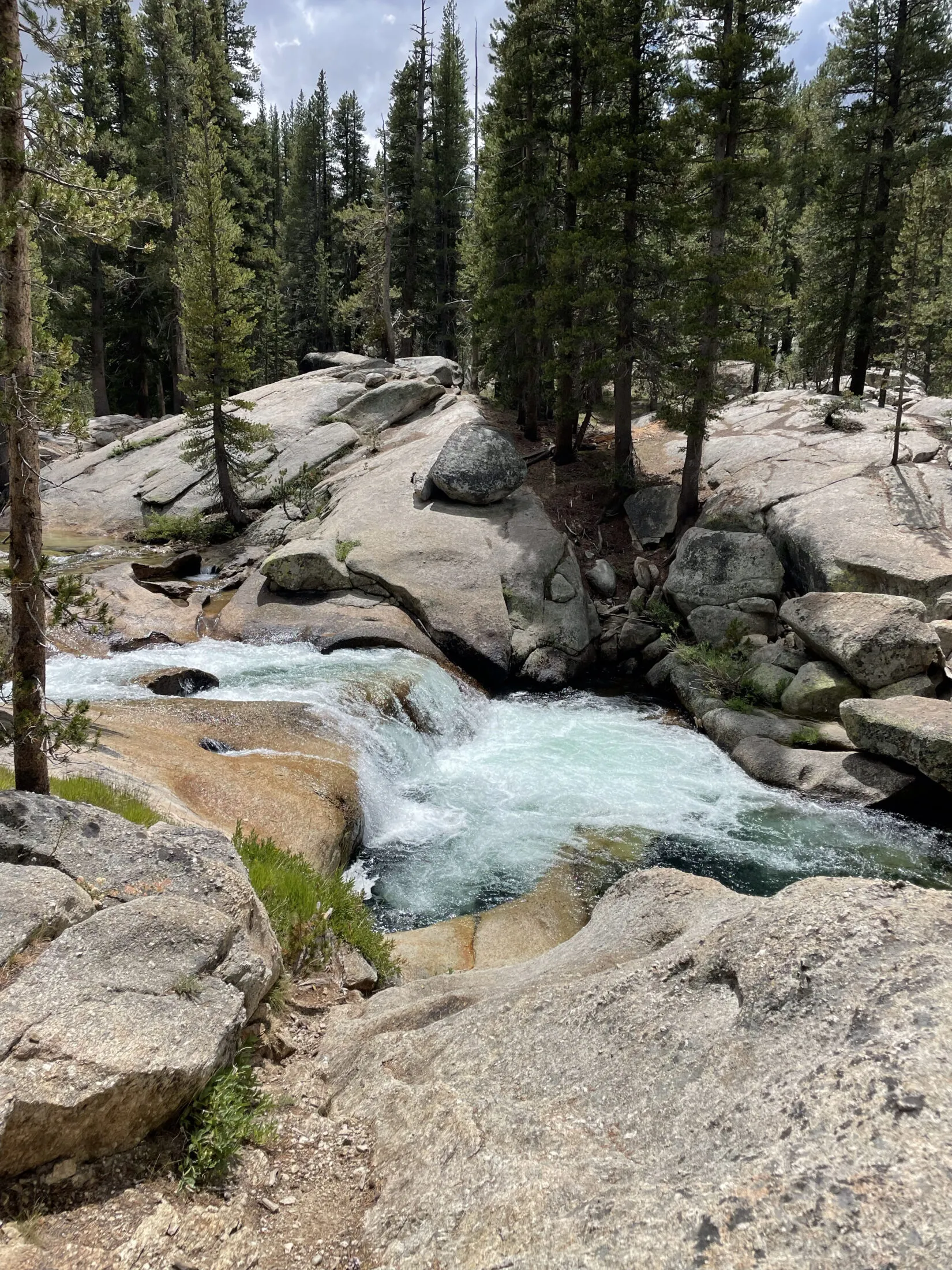
After another half mile we got to our turn-around point—the top of the lower falls and the base of the upper falls. It was a wild place to be. You could feel the mist coming off of the waterfall, which was pretty refreshing.
Going down the steep switchbacks went faster. I probably could have taken more care though. The next few days I’d wake up with an extremely sore knee. Likely from rushing down the trail too fast.
Glacier Point
Dad and Uncle Ron were getting breakfast when we got back from our hike. We grabbed something to eat and sat down with them to plan the day.
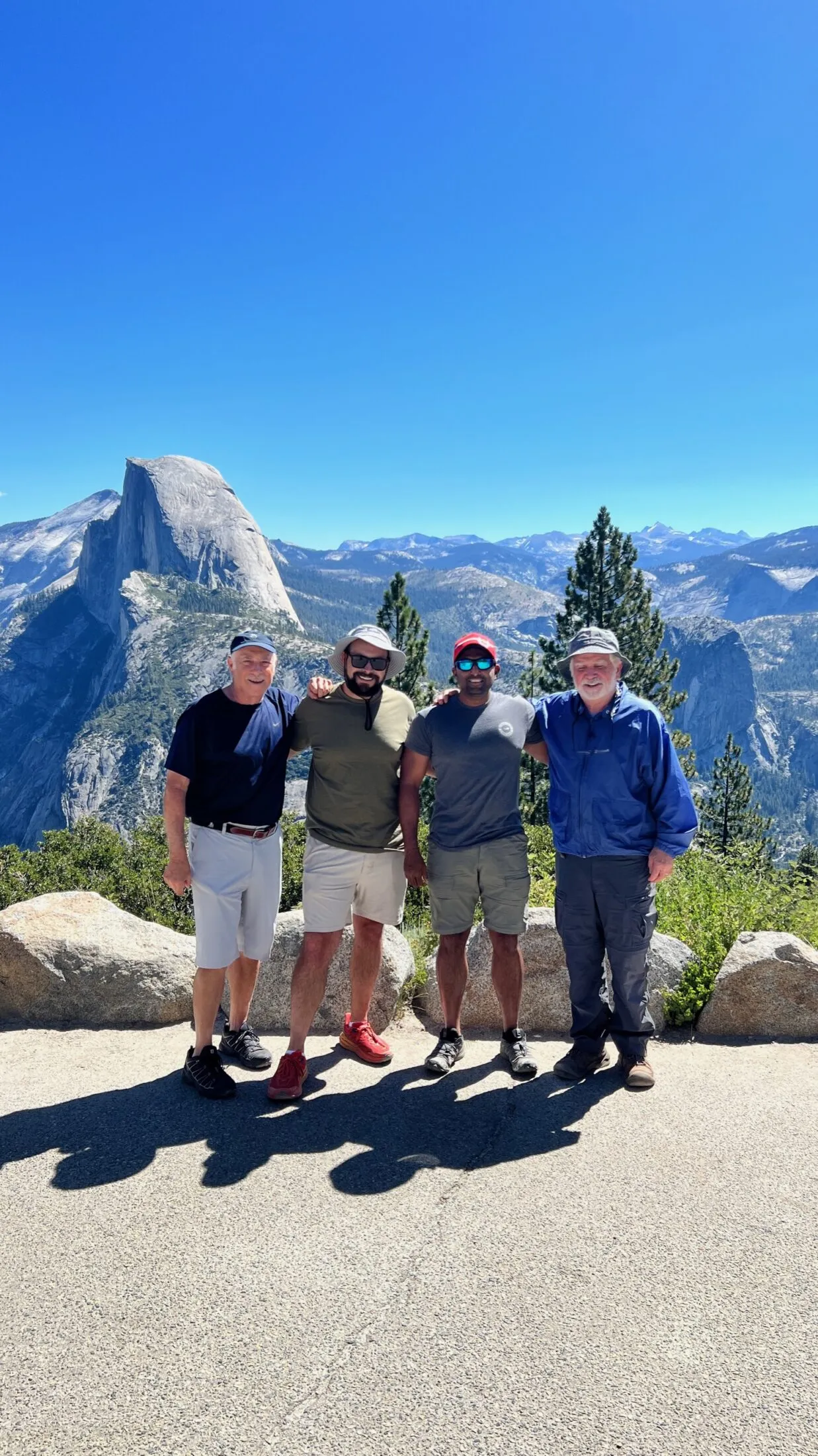
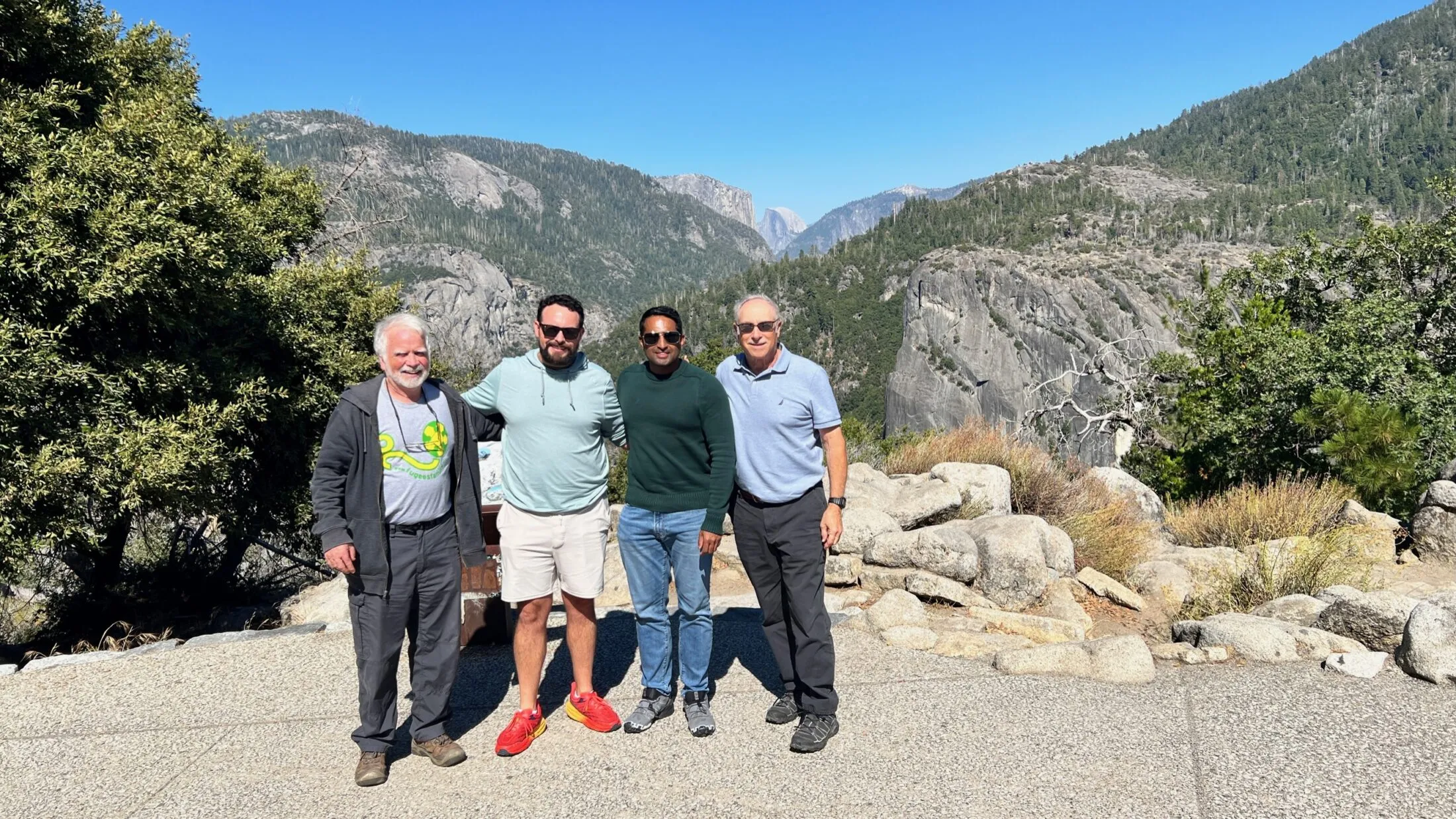
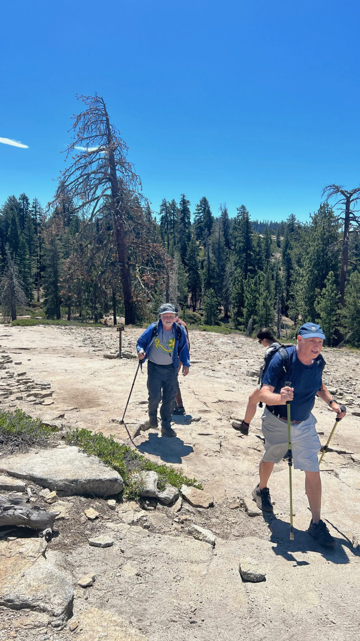
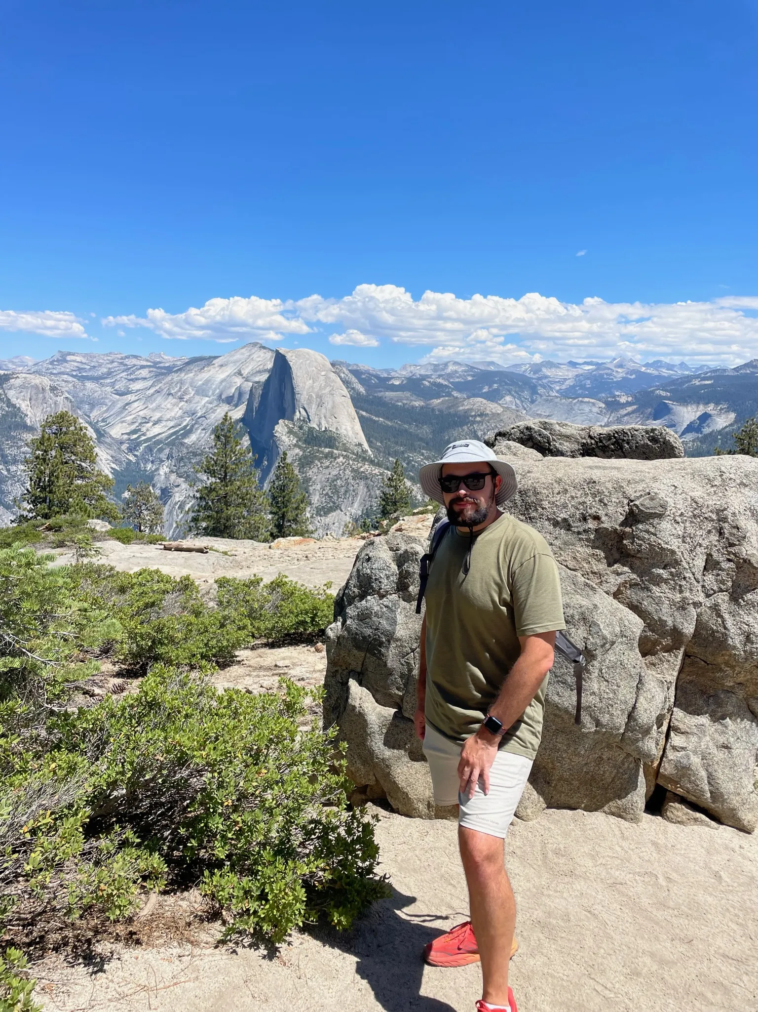
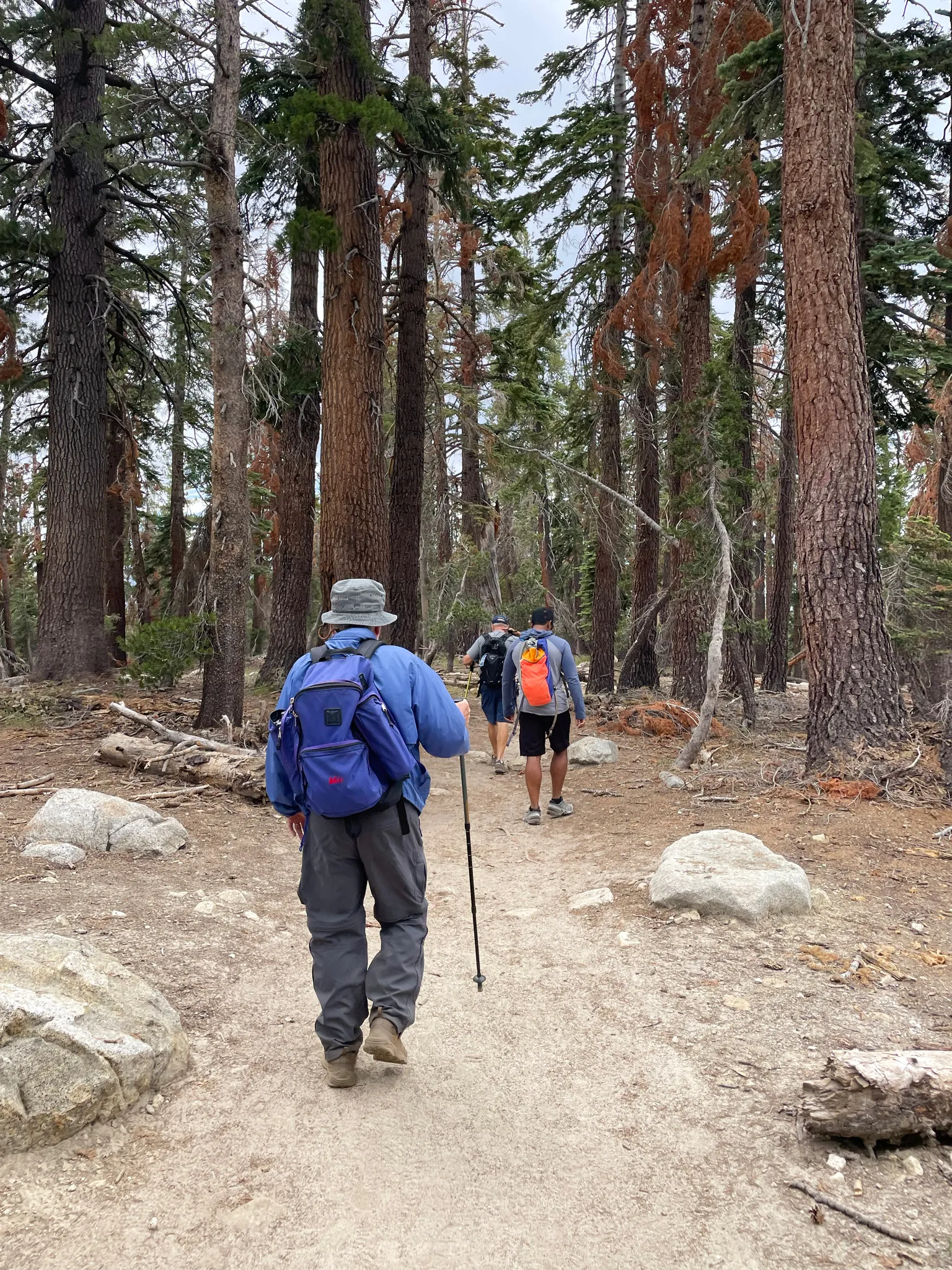
Our first stop would be Glacier Point. It’s about an hour’s drive from the valley, but it is one of the easier viewpoints to access in the high country. That does mean it is frequently crowded. There’s a little out-and-back loop that takes you to the overlook. We took a few photos and then headed to our main hike, The Sentinel Dome and Taft Point loop.
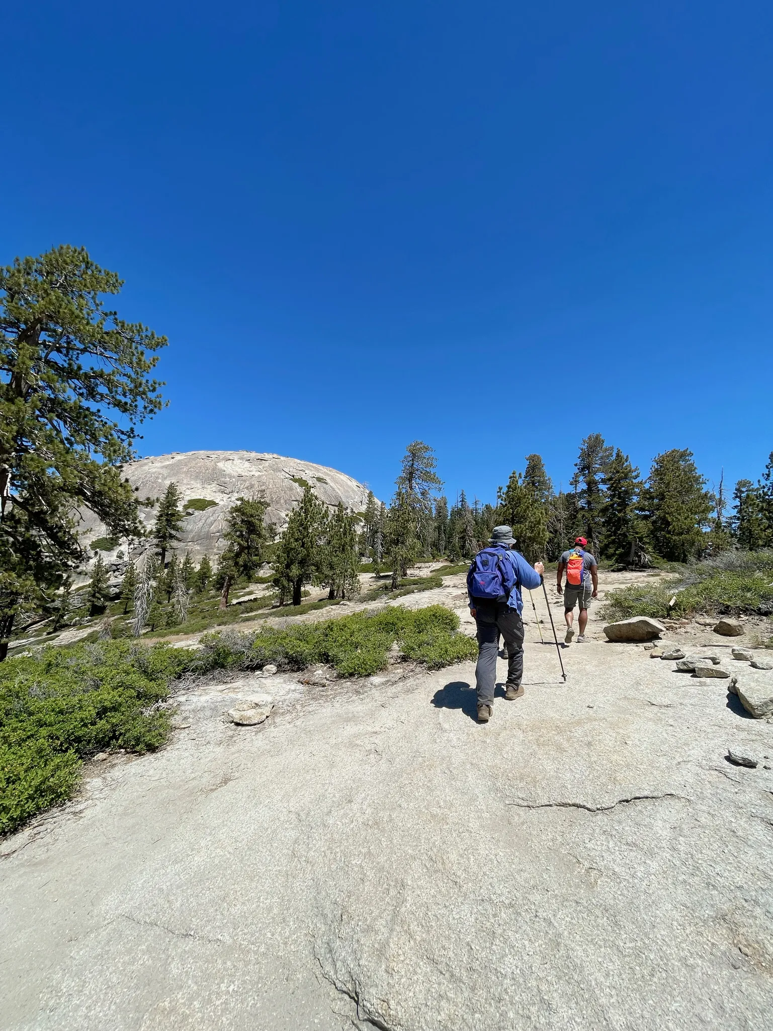
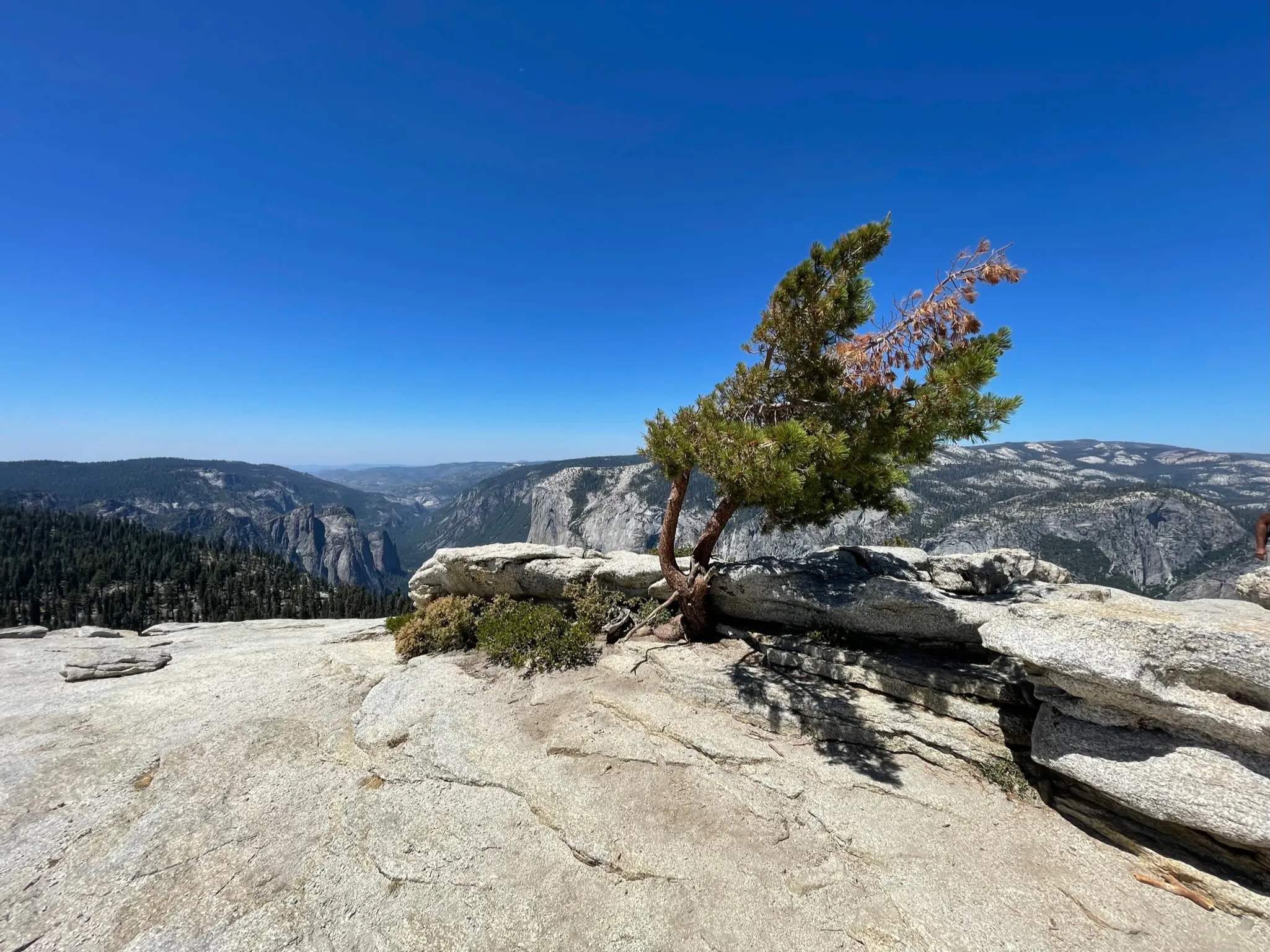
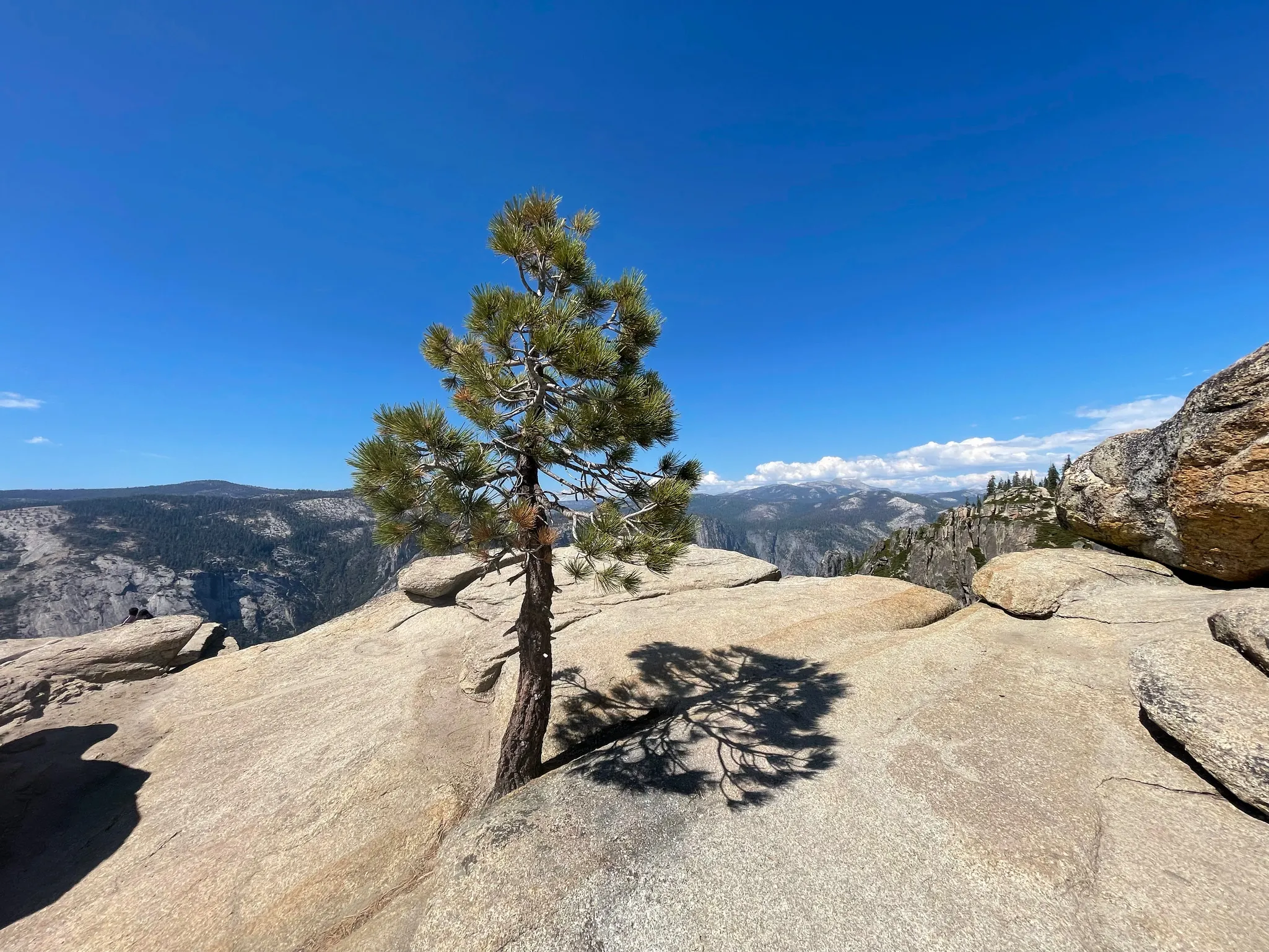
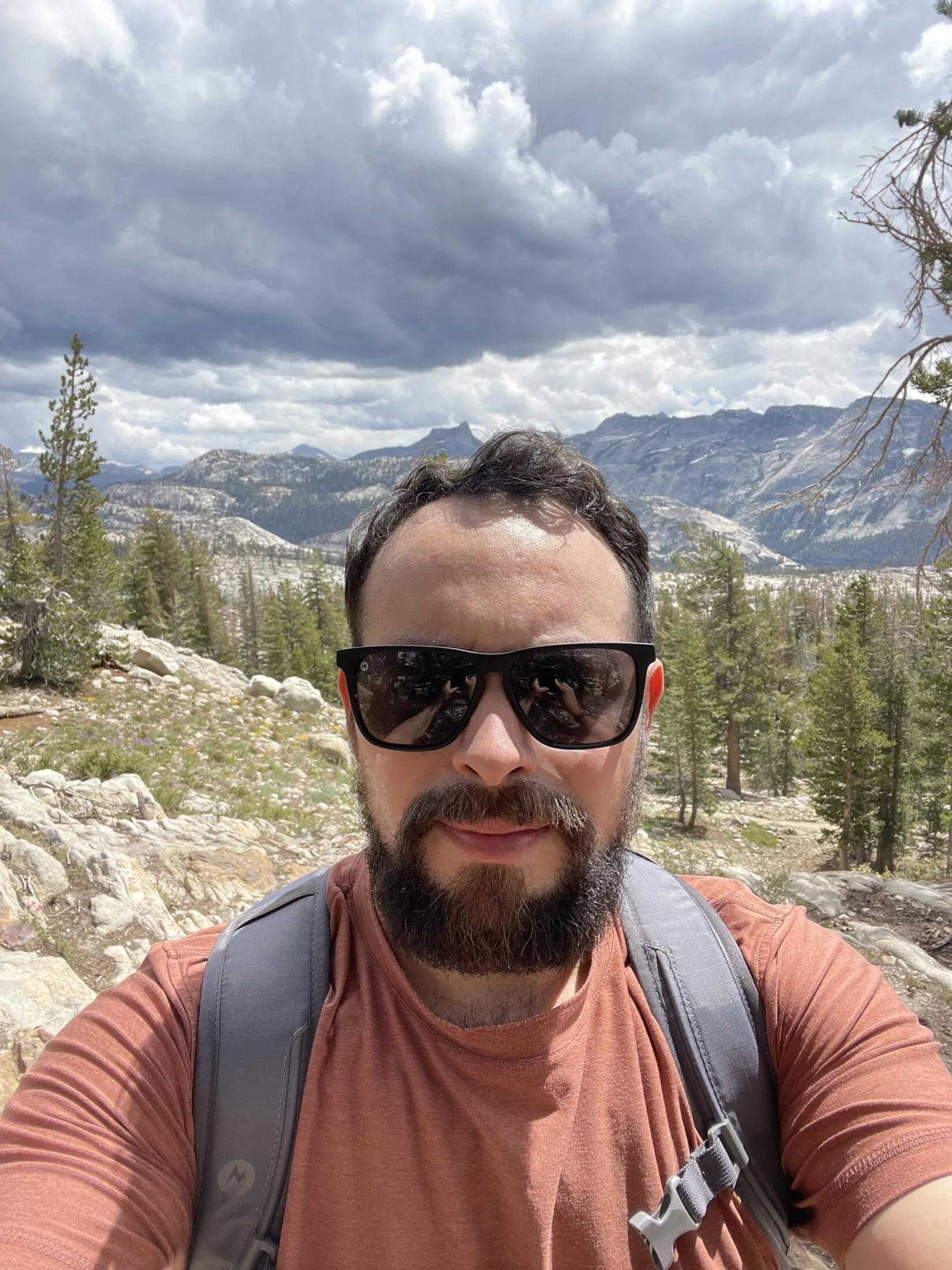
Sentinel Dome and Taft Point
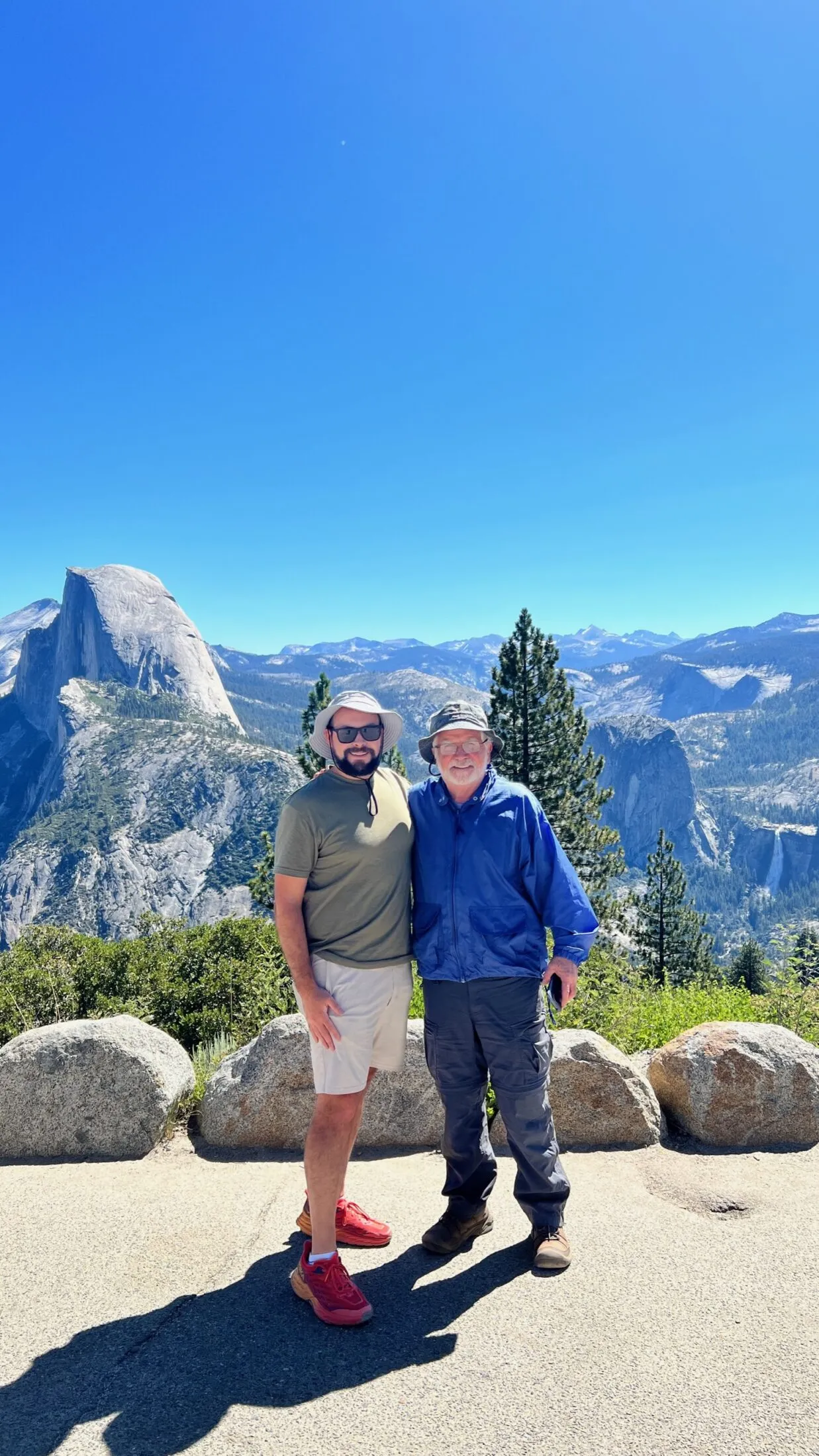
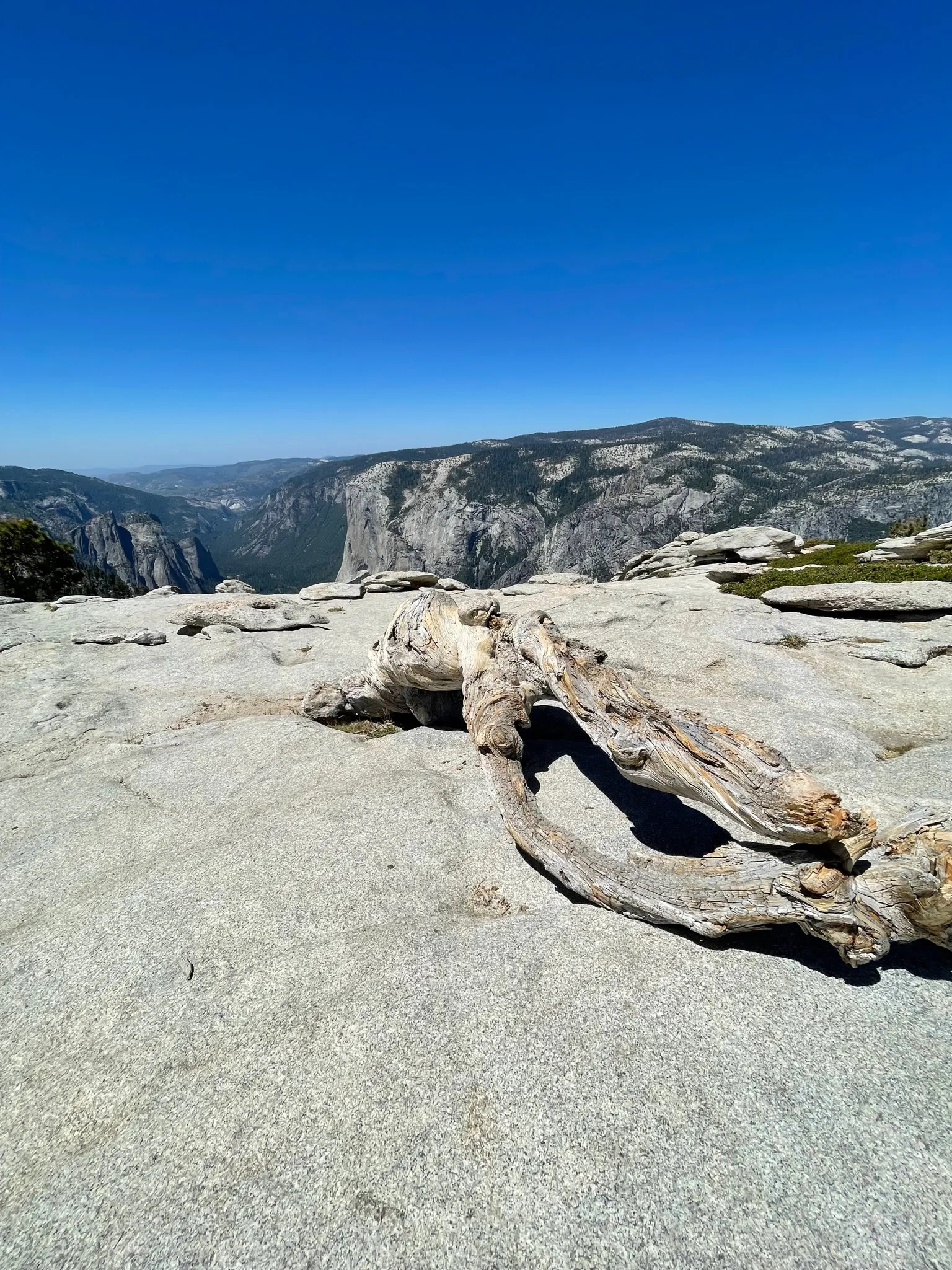
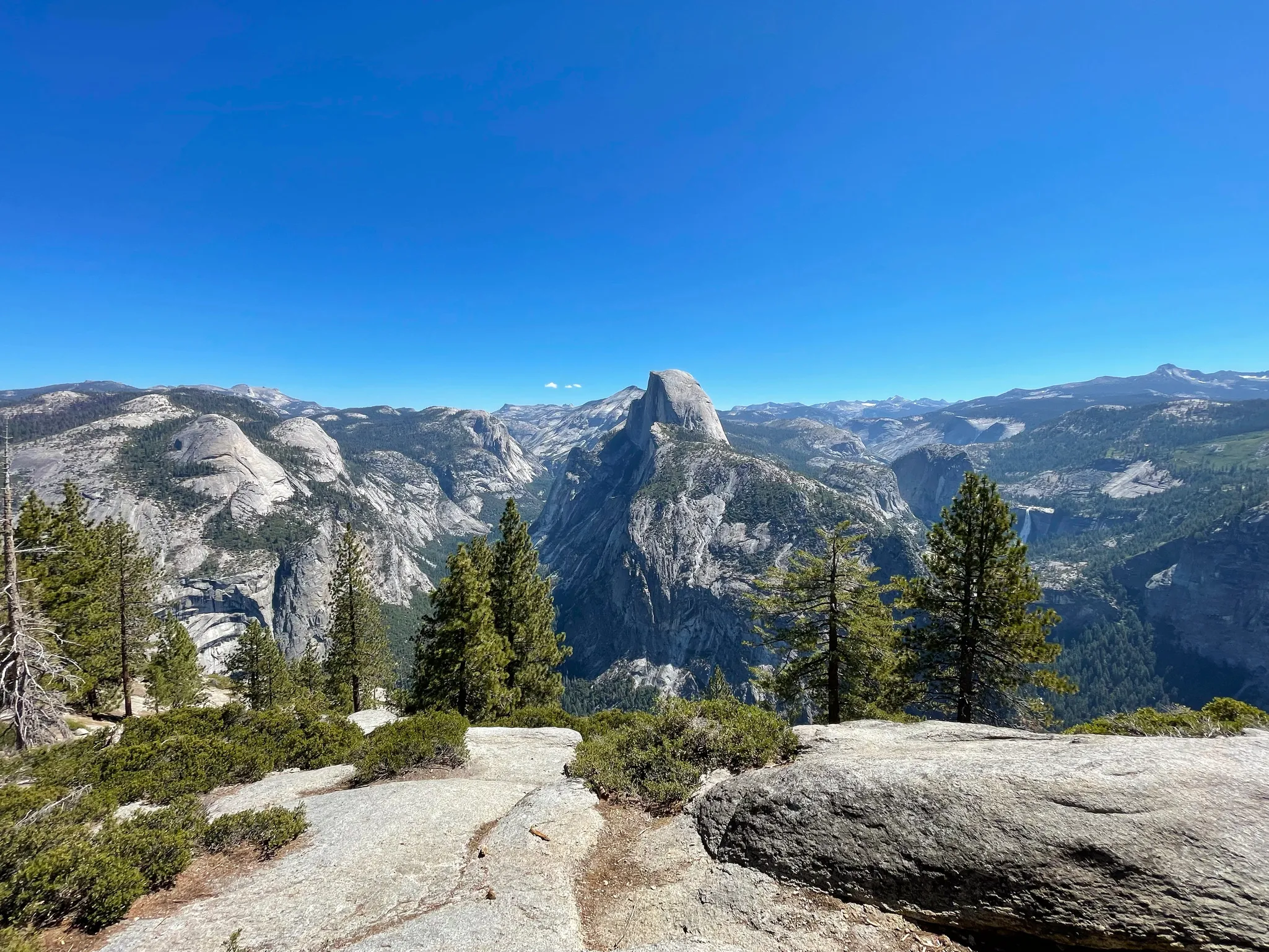
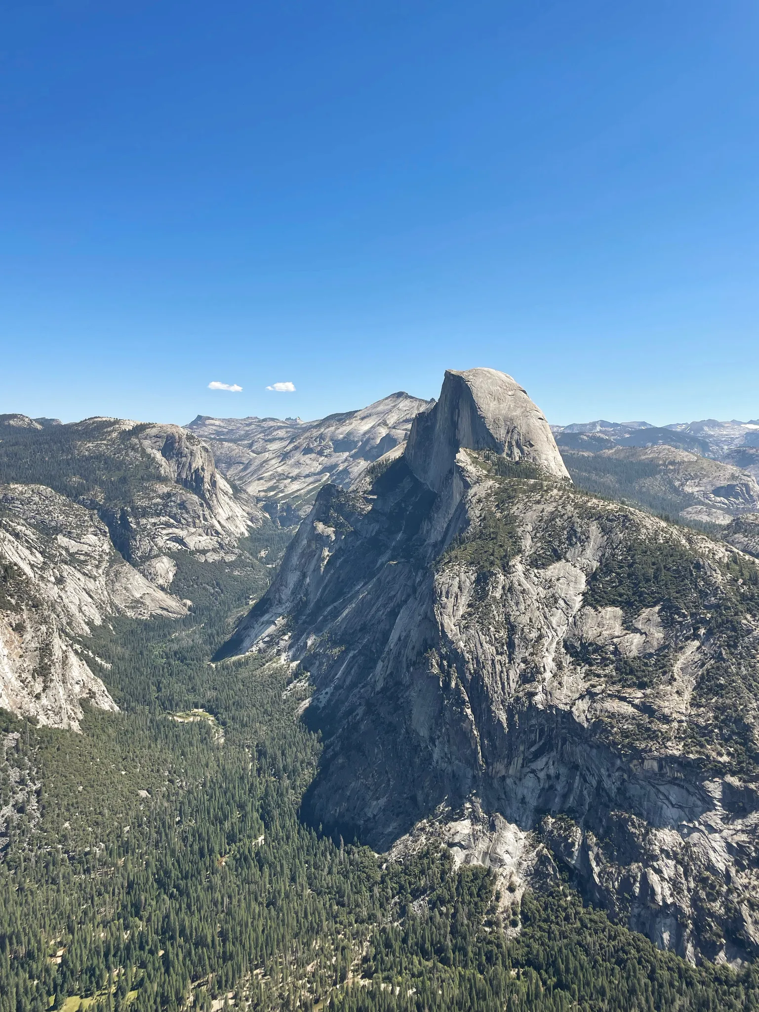
I’ve done the Sentinel Dome hike a dozen or more times over the years. It’s about 4.5 miles out and back. The trail is mostly flat with a steep quarter mile to get to the top of the dome. It gives you an amazing view of Half Dome on one side with El Capitan and Yosemite Valley on the other.
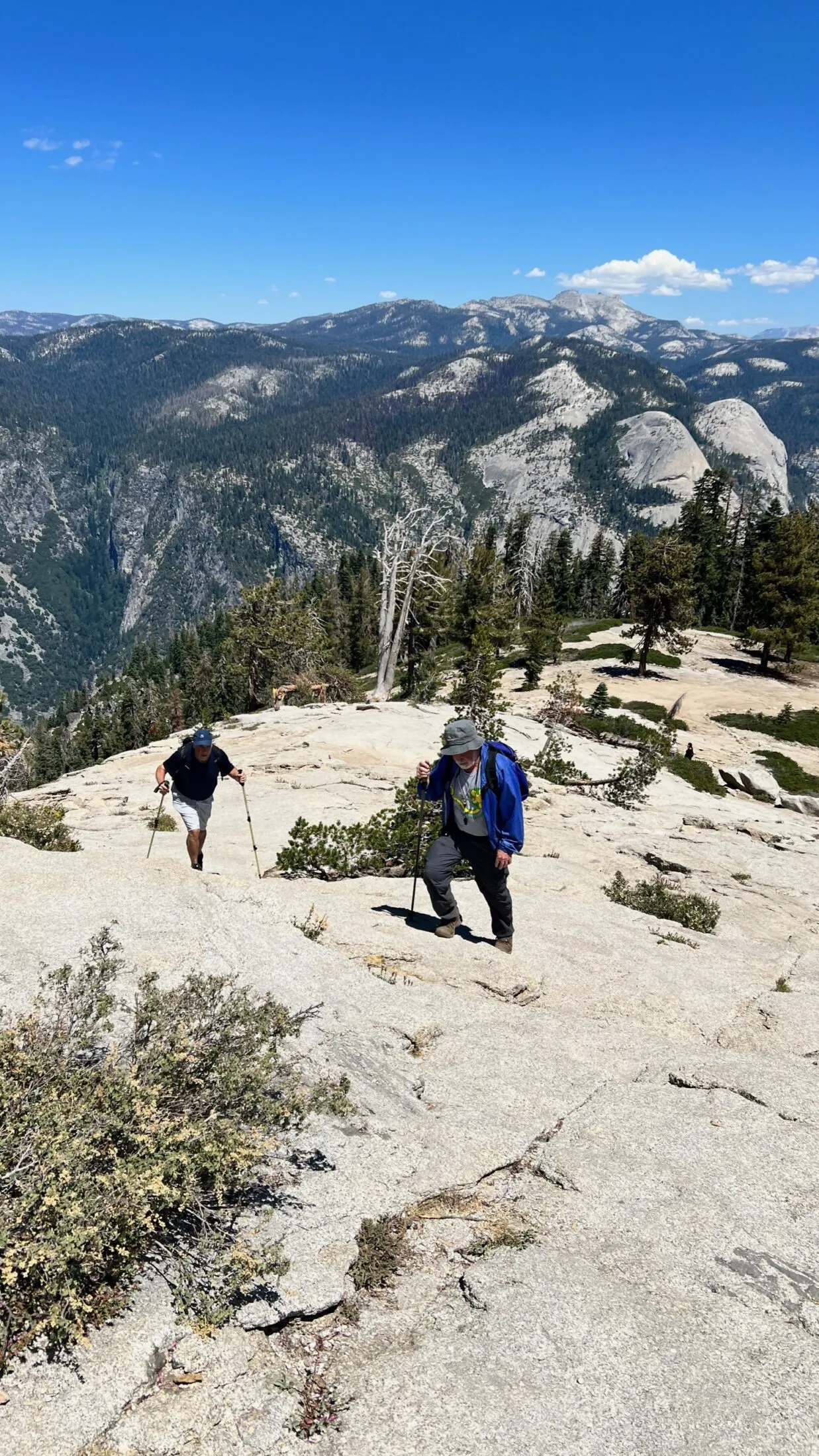
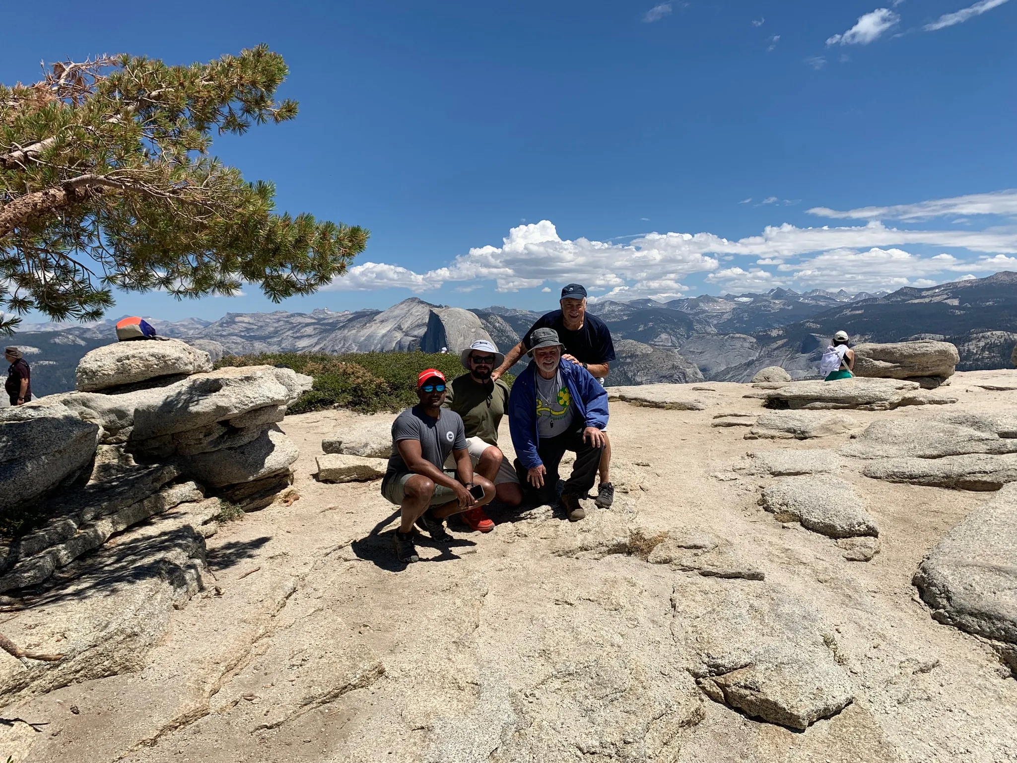
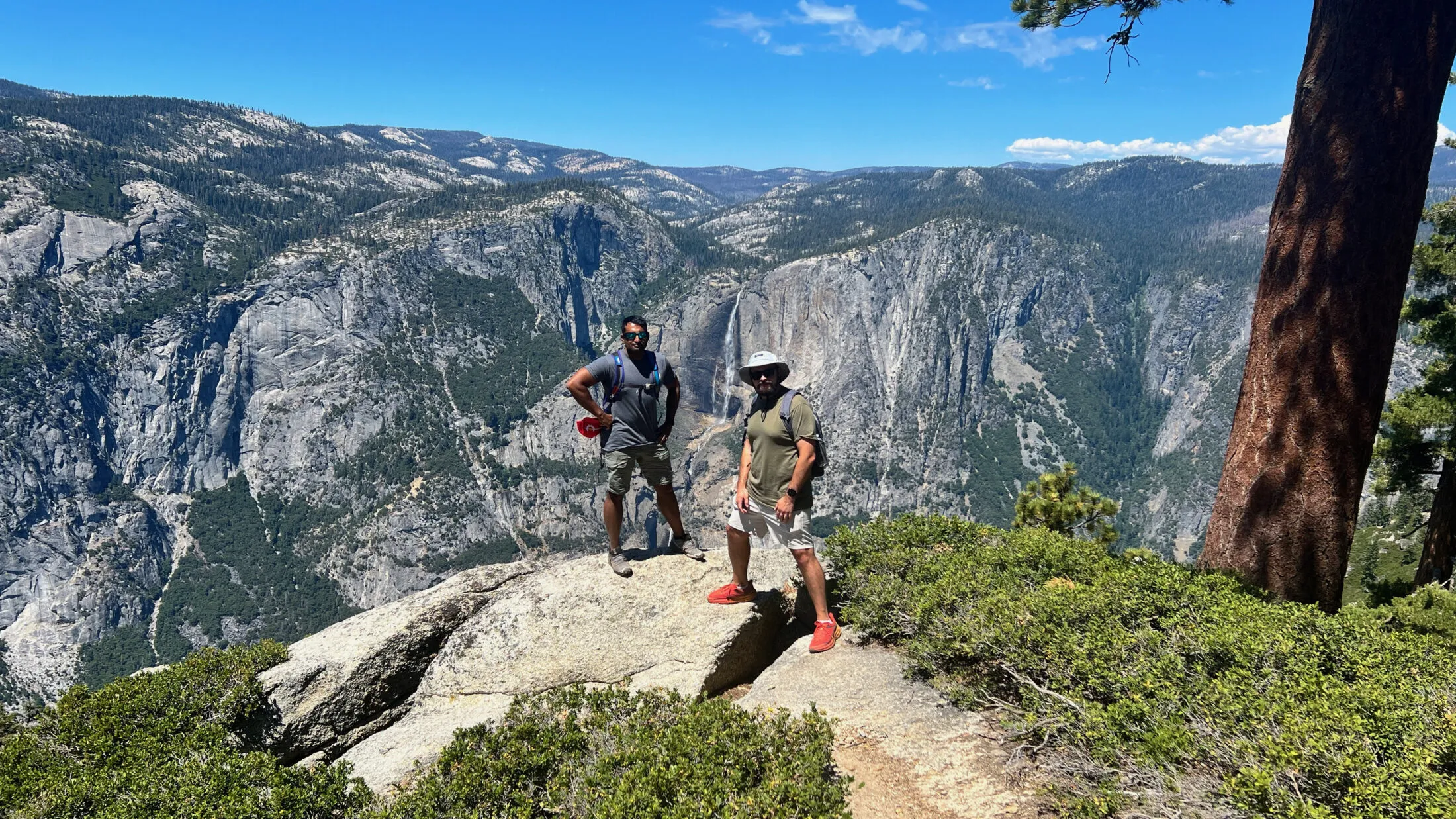
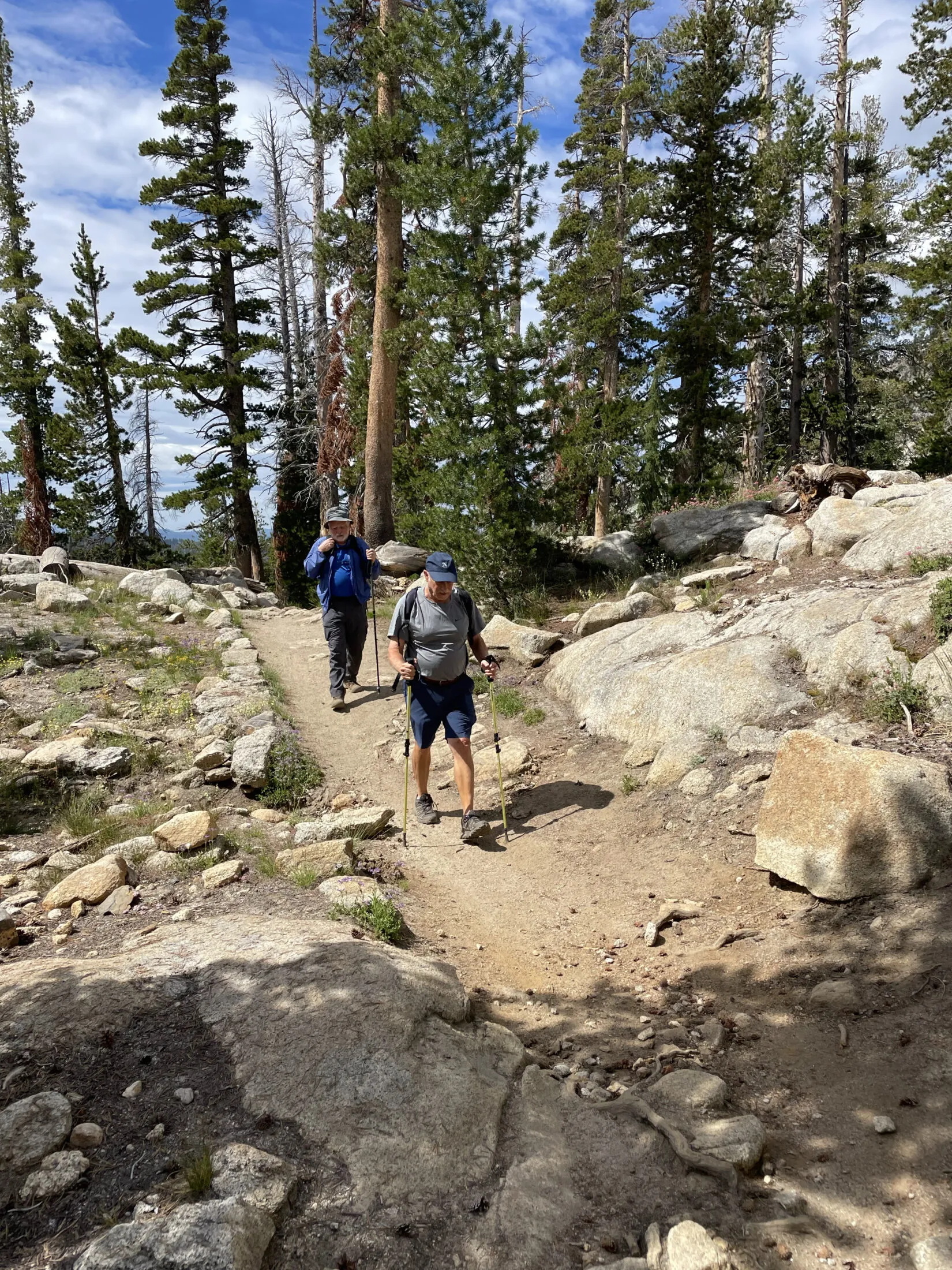
It’s one of Dad’s favorite hikes. Every time we’ve done it he calls or sends an email to one of his old hiking buddies. While I was editing photos for this post he sent me this one.
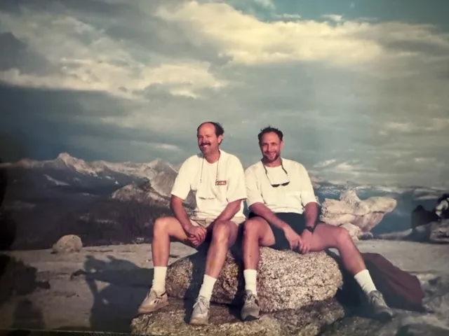
My dad (right) and his long-time friend Louis Chittenden (left) on top of Sentinel Dome.
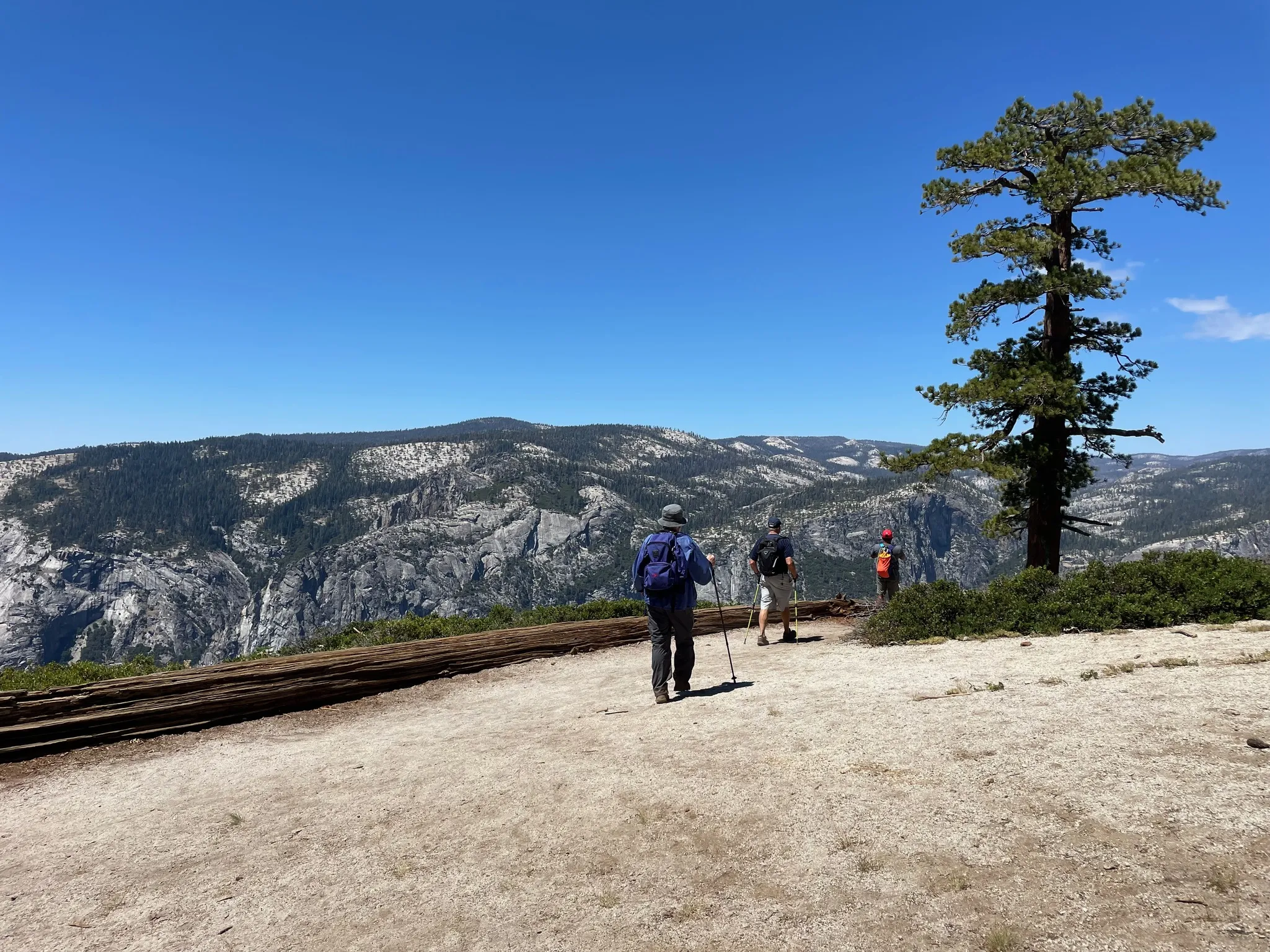
We did something different on this hike. Instead of the usual out and back, we realized that we could go to Taft Point and turn it into a loop. It added about a mile, but that felt like a worthwhile trade-off for different scenery.
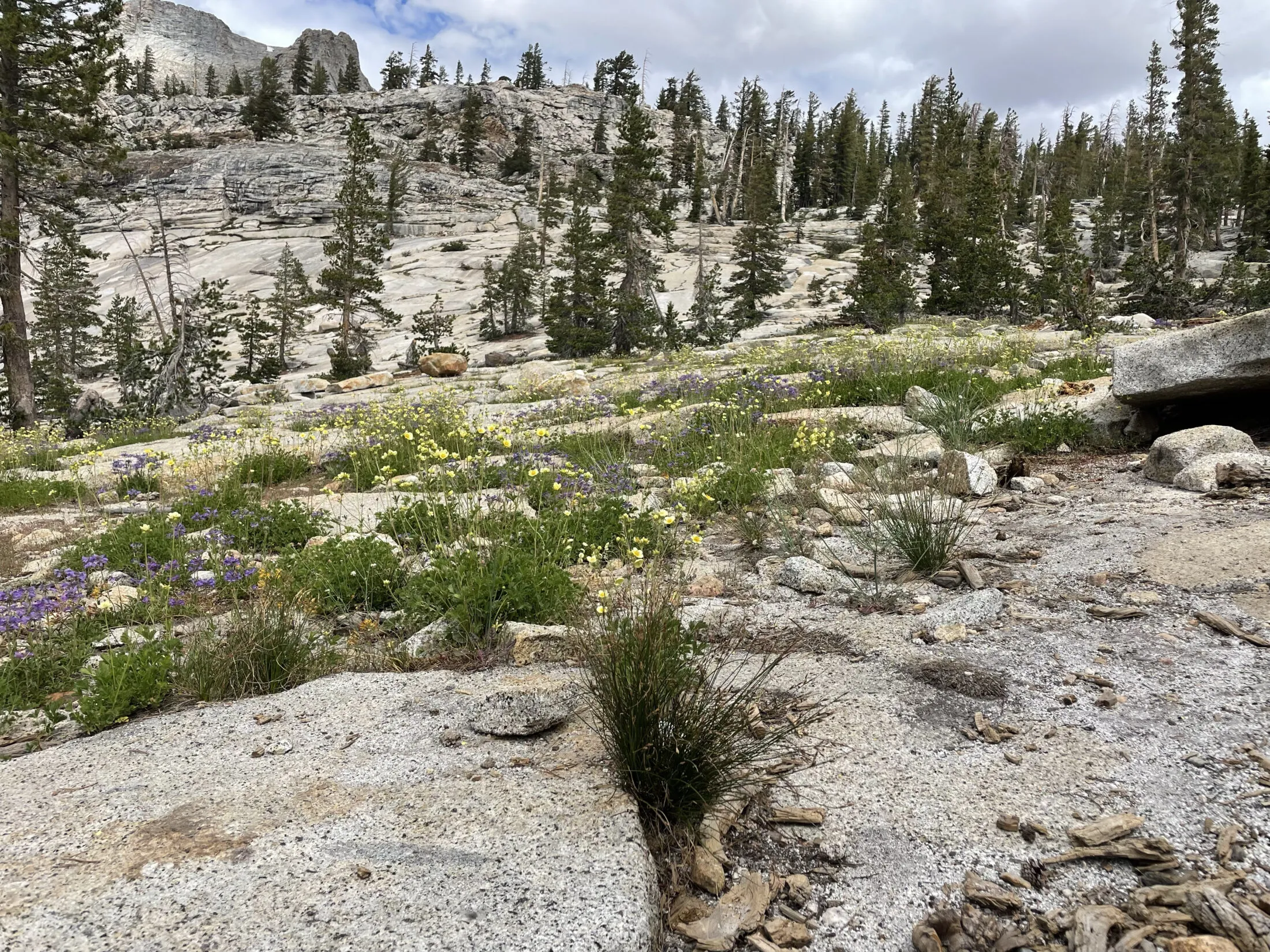
I had never been to Taft Point. That’s surprising because it’s a super-short—two-mile roundtrip hike from parking and over the years I’ve done a significant portion of the day hikes in the area.
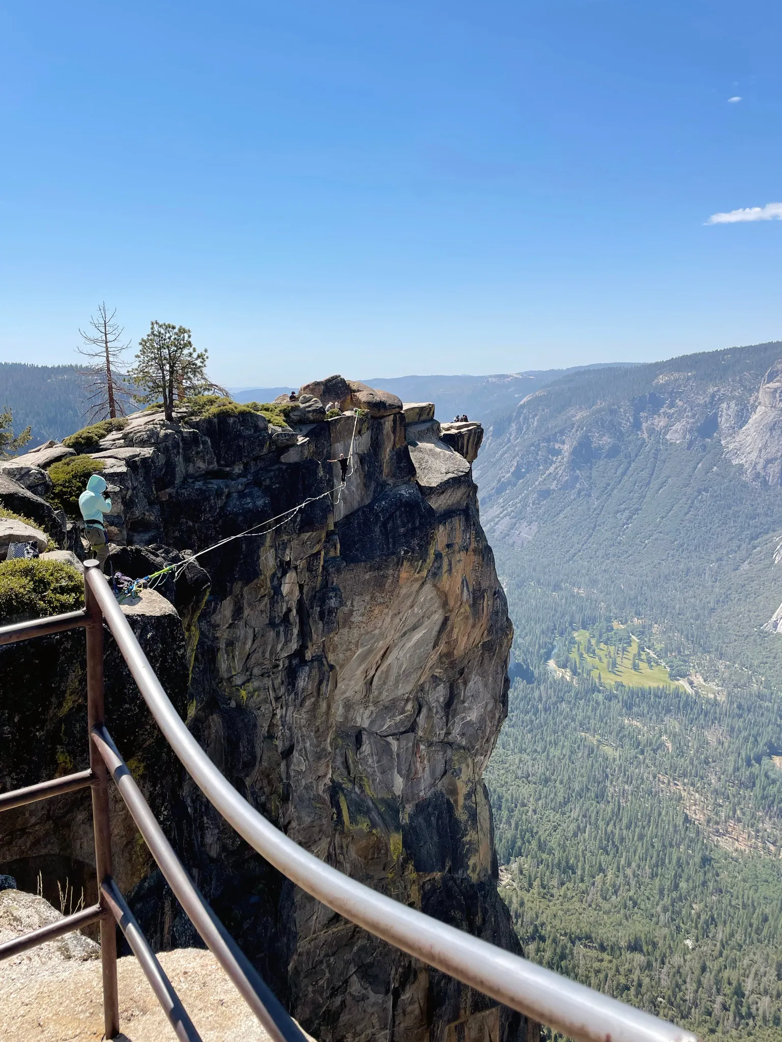
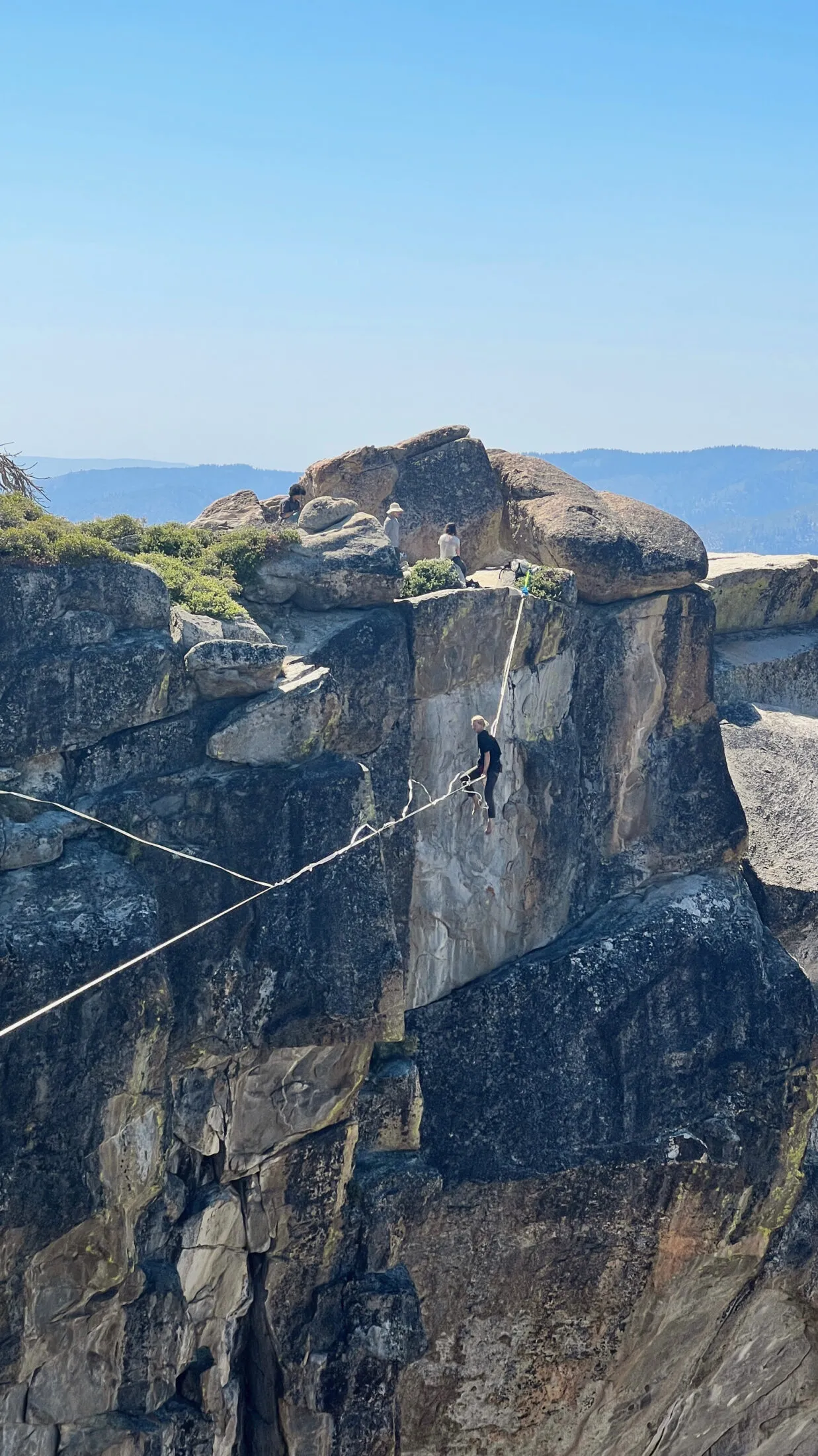
Taft Point is a spectacular overlook, which I expected. However, there are a few things that make Taft Point weird. The first are these fissures that come out of nowhere. I saw a sign right before we got to the outcropping that said “Fissures ahead,” but I didn’t know what to expect.
The fissures are these two to four-foot wide openings that go down a thousand feet or more. And they appear right next to the trail with little markings.
If you are hiking Taft Point, be careful when you get to the outcropping. I would not recommend walking around staring at your phone. Pay attention to where you are going.
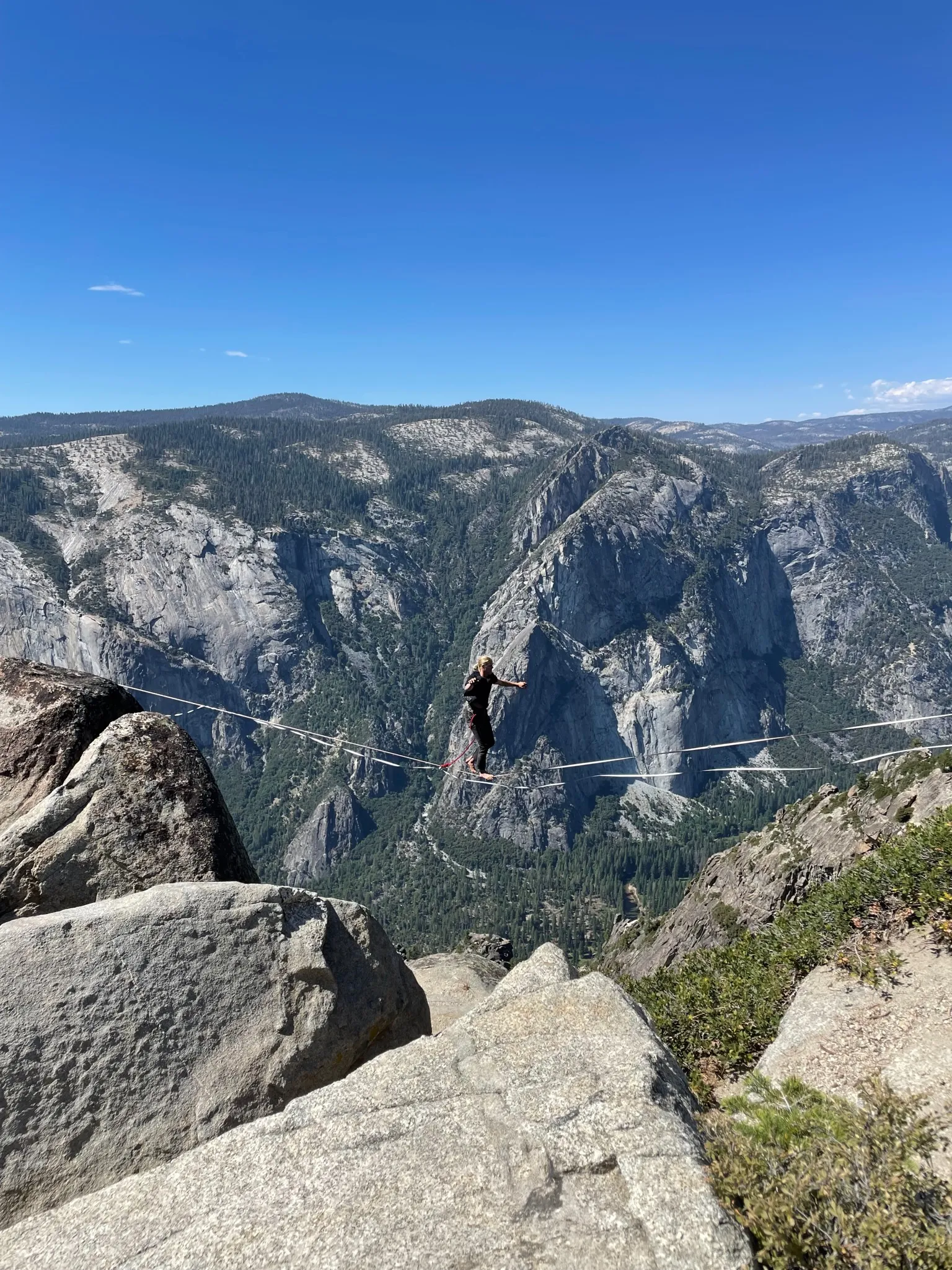
The second strange thing is that Taft Point is a common location for slack liners. It’s unreal to see people walking a tightrope—like it’s nothing—with a thousand-foot drop below them.
The slackliners are harnessed. If they fall, there is a line that catches them. But wow, it was both horrifying and captivating to watch.
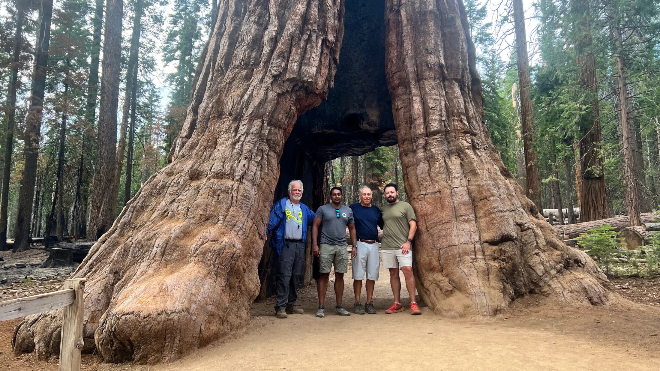
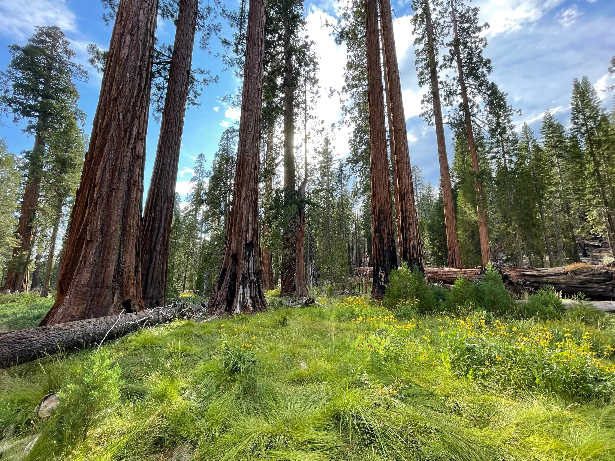
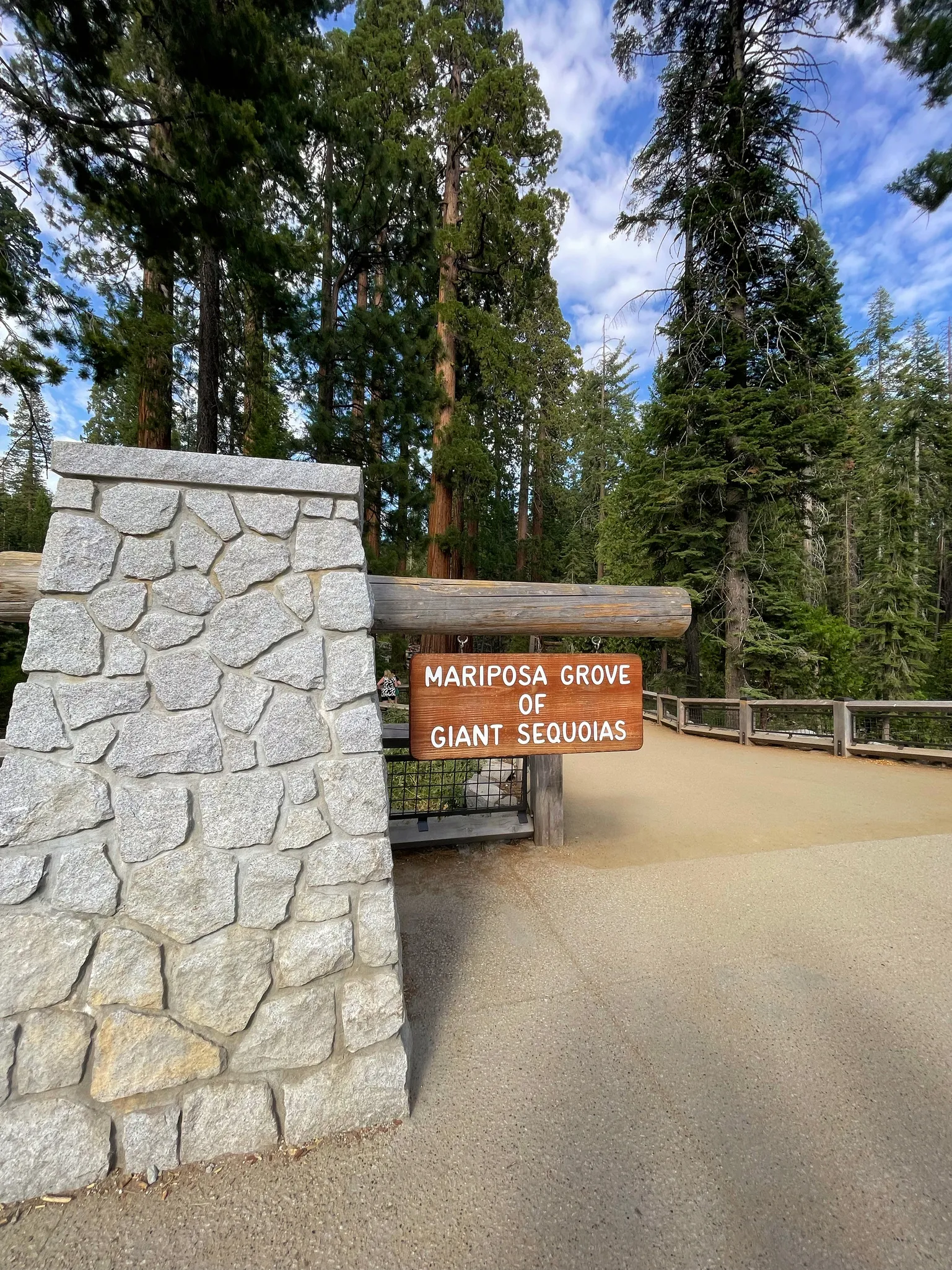
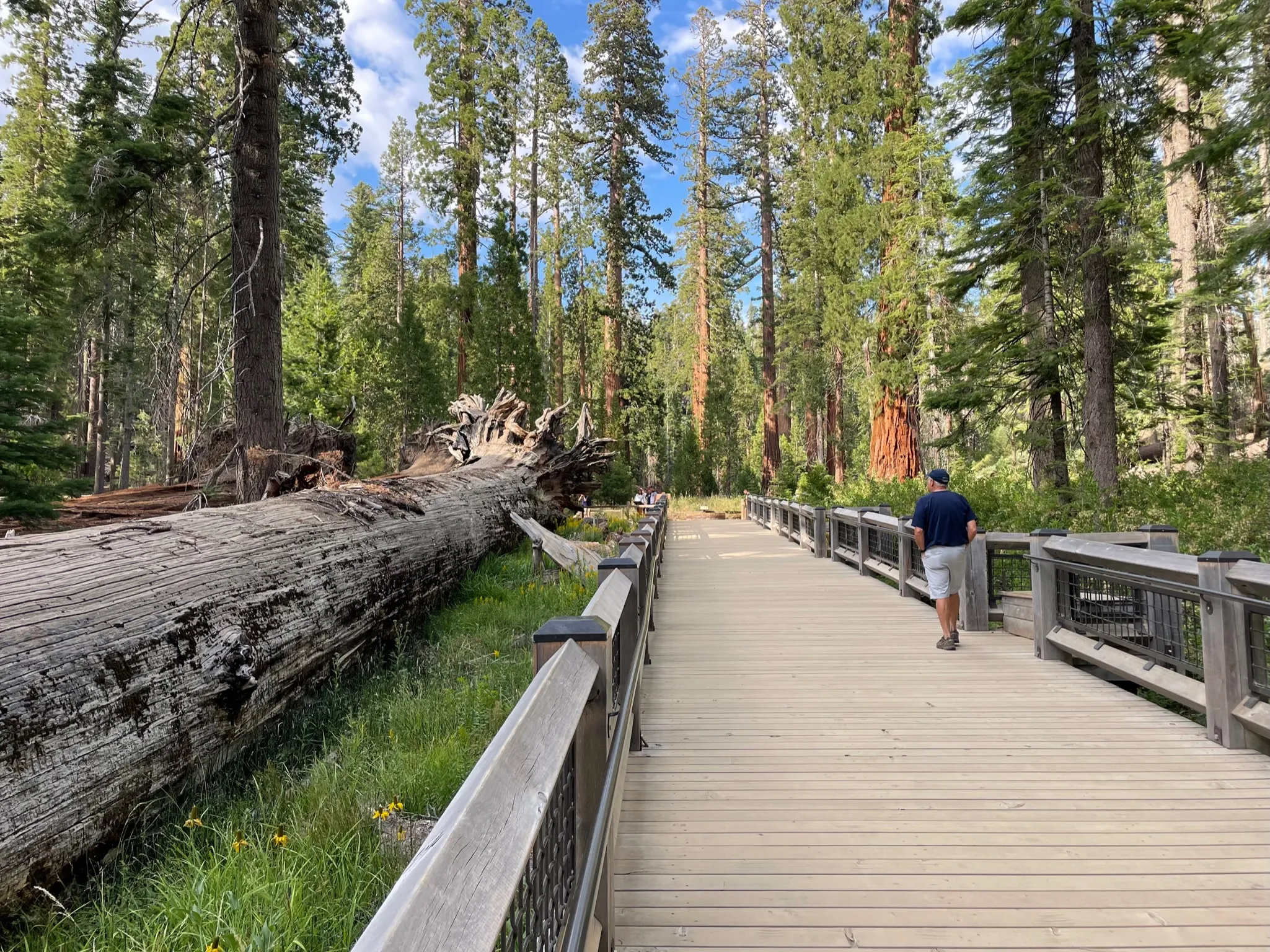
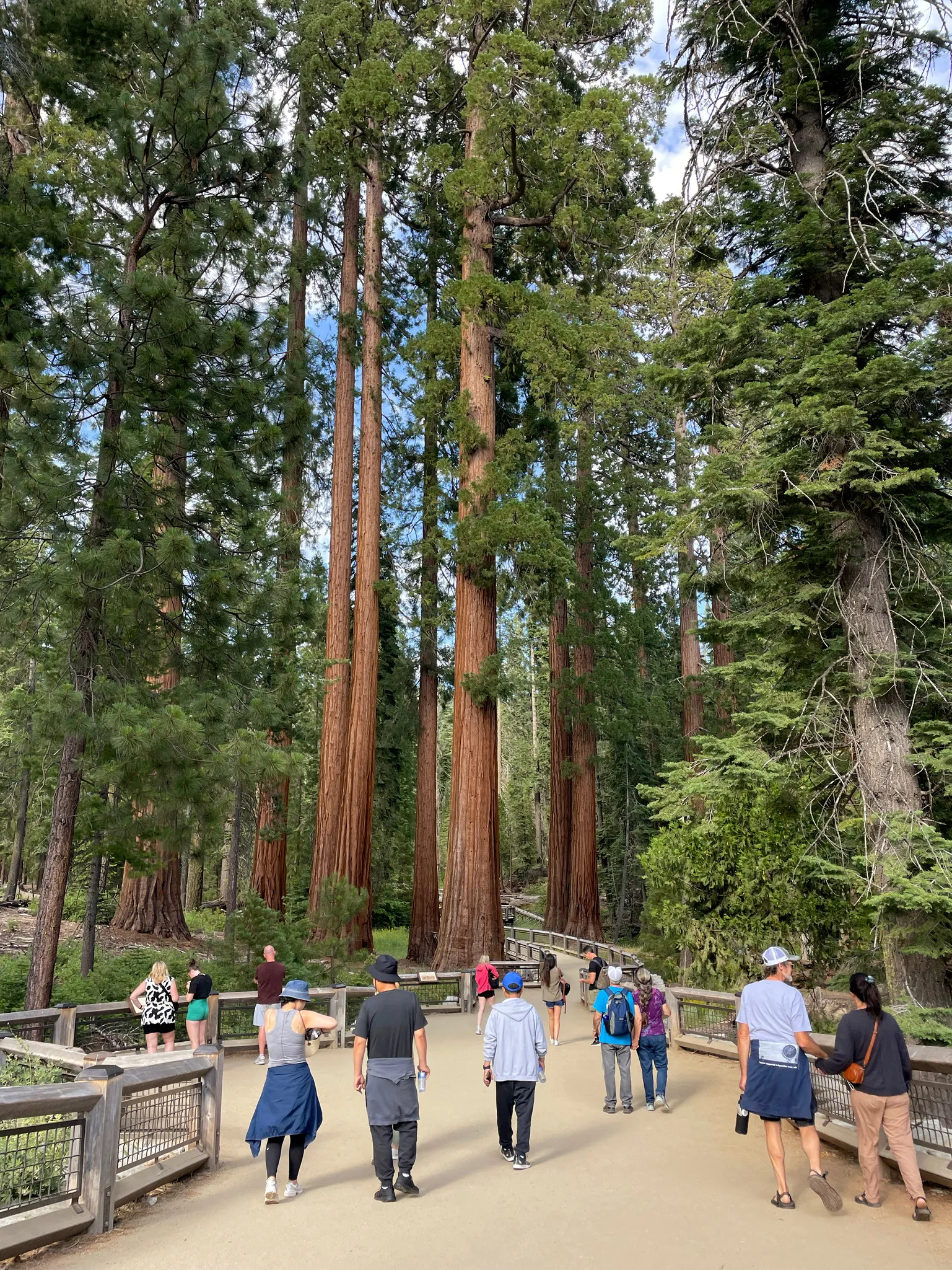
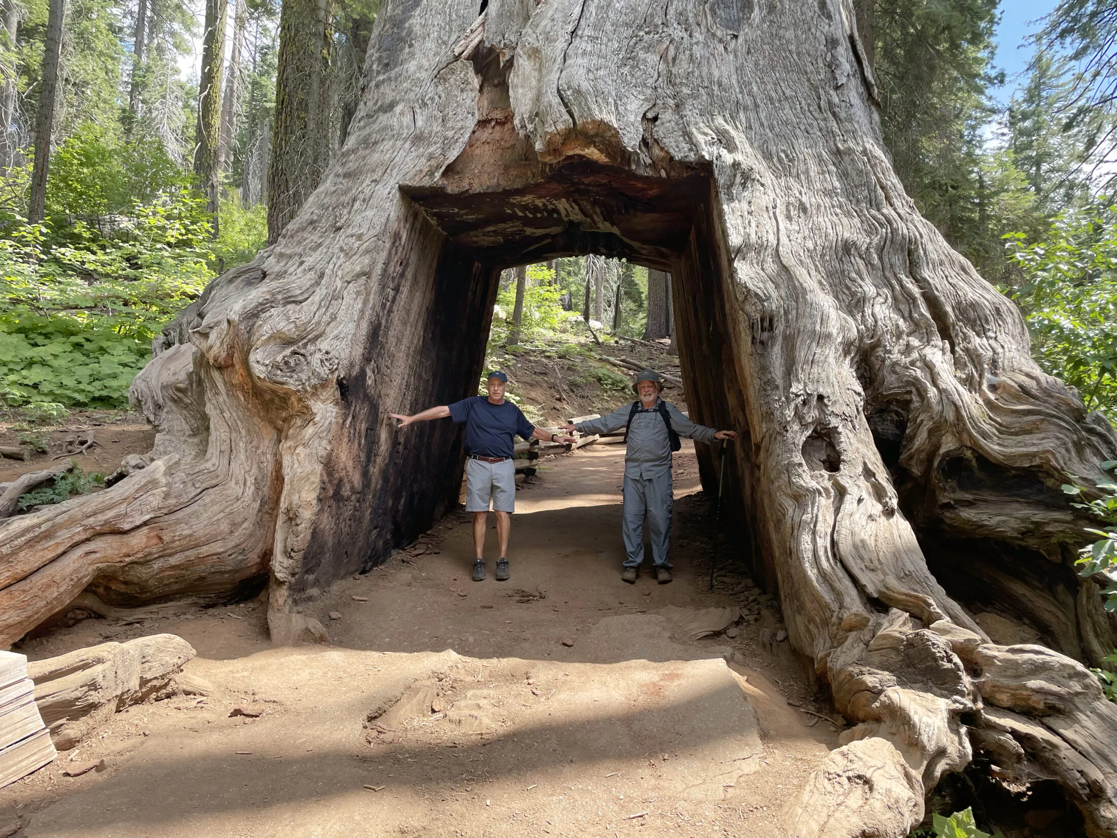
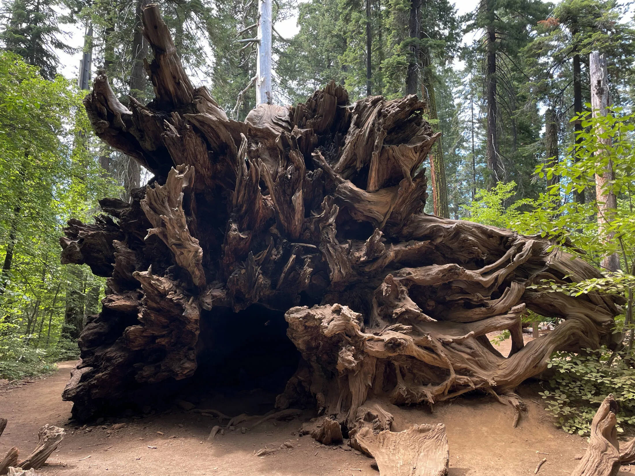
Mariposa Grove
With our main hike behind us and a little daylight left, we headed towards the Mariposa Grove at the southernmost end of the park. The giant, century-old trees in the grove are one of Yosemite’s many treasures.
I did my best to take photos, but the tree giant sequoia and coast redwood trees are so large that it’s difficult to get perspective.
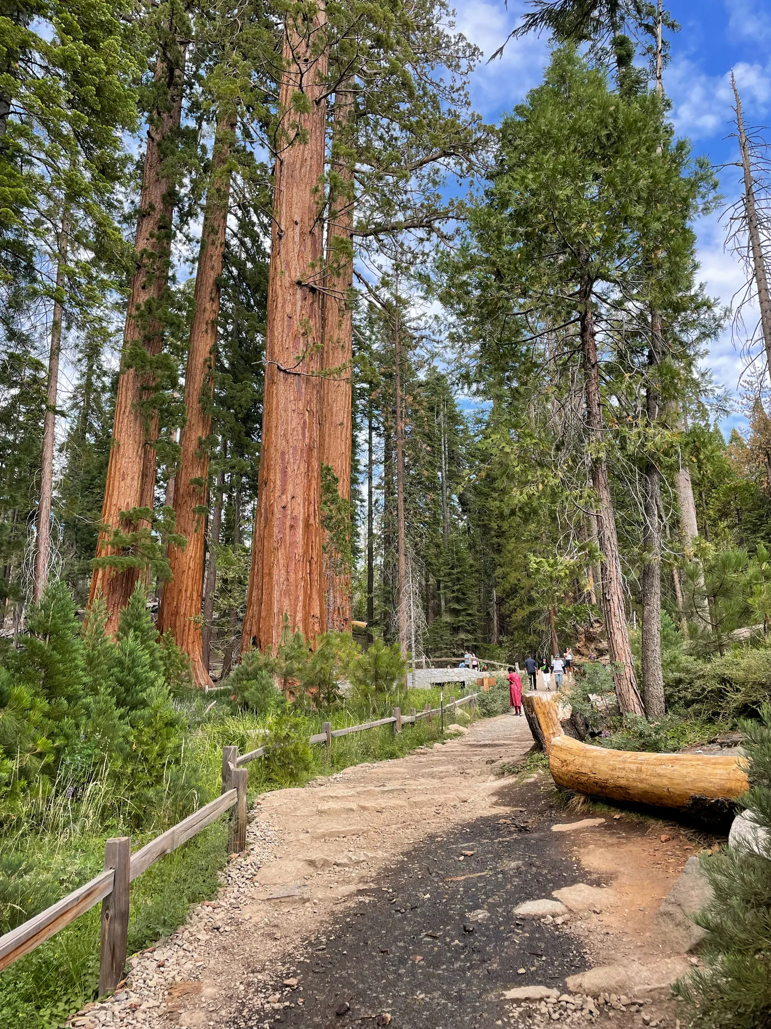
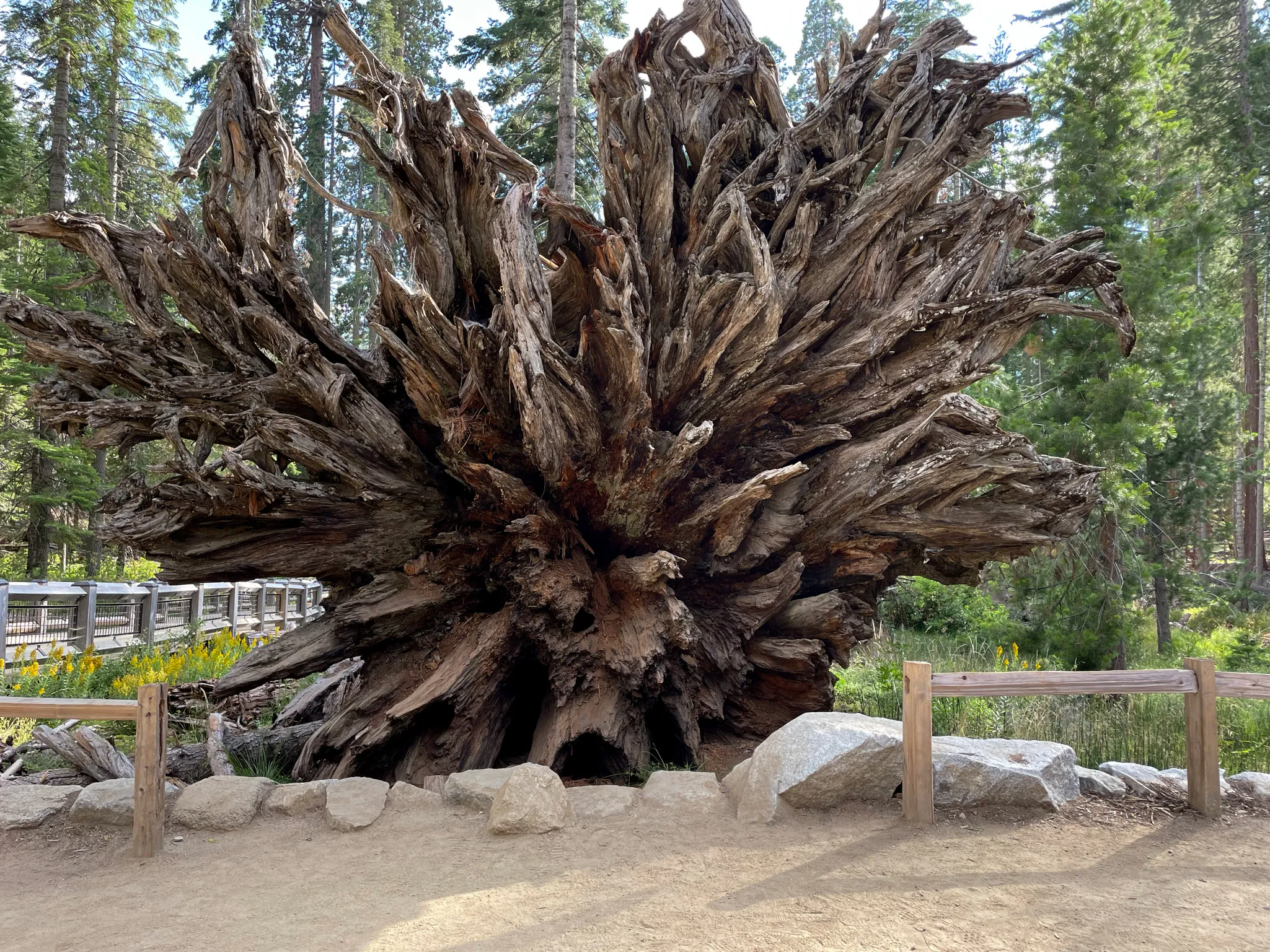
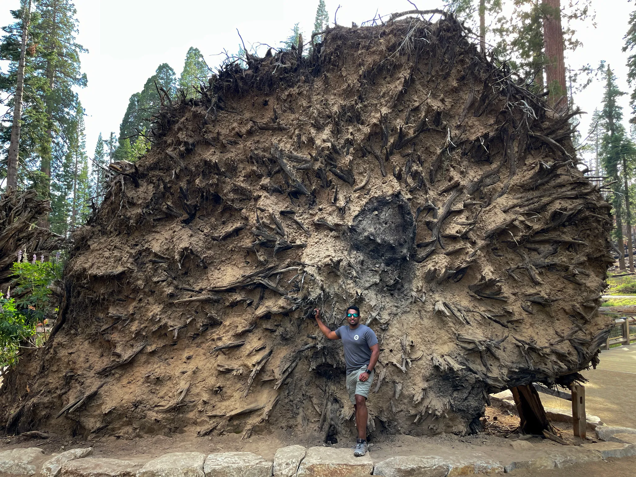
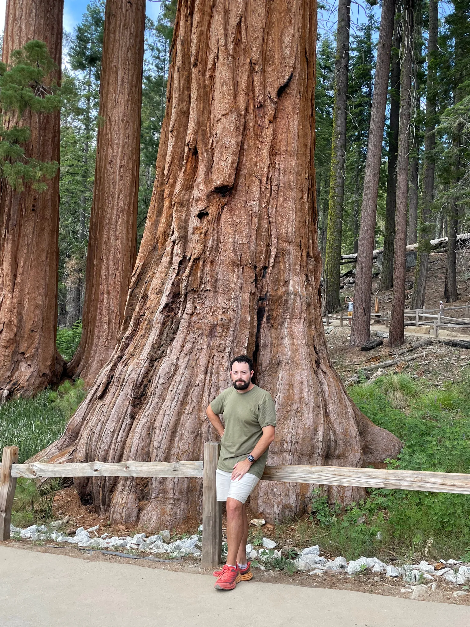
The grove contains one of the world’s largest trees—the Grizzly Giant. The tree is 209 feet tall with a 28 foot diameter base. Its largest branch is seven feet in diameter—larger than many of the other trees in the grove.
It is estimated to be between 2,000 and 3,000 years old, which means it possibly pre-dates the Roman Empire—or at least Rome as a Republic. It is difficult to fathom something that old.
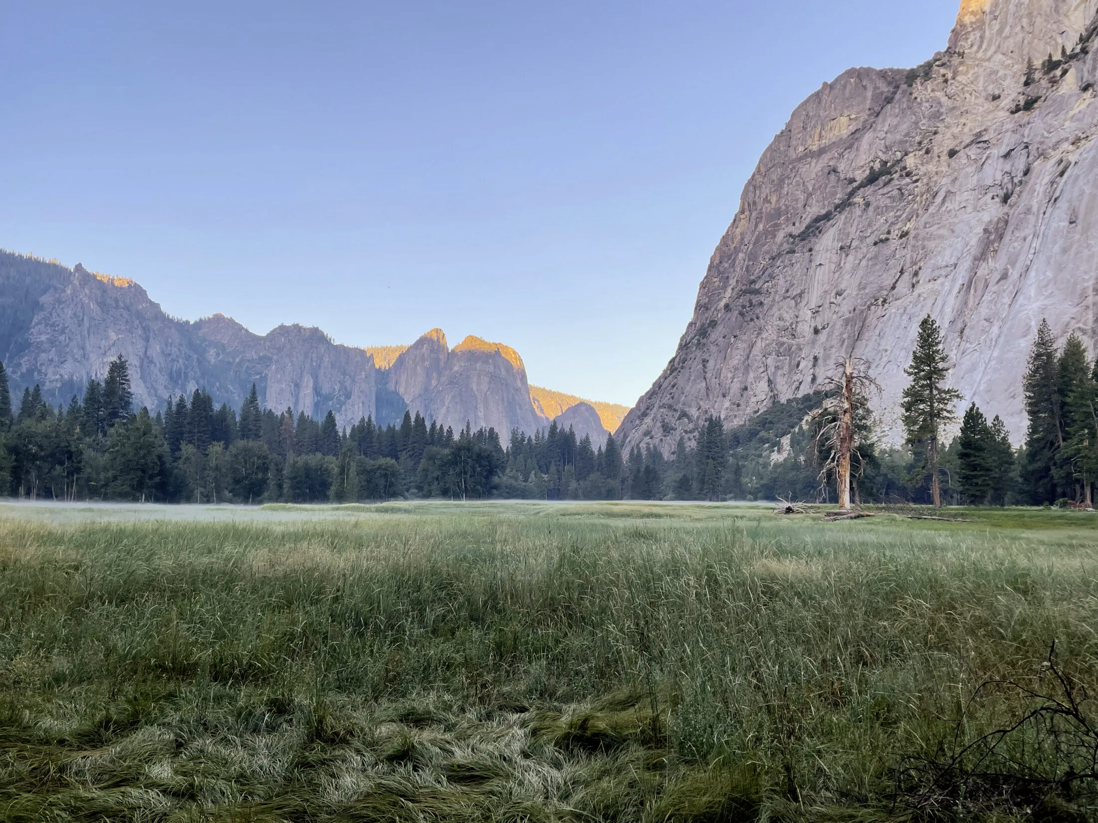
Day 2
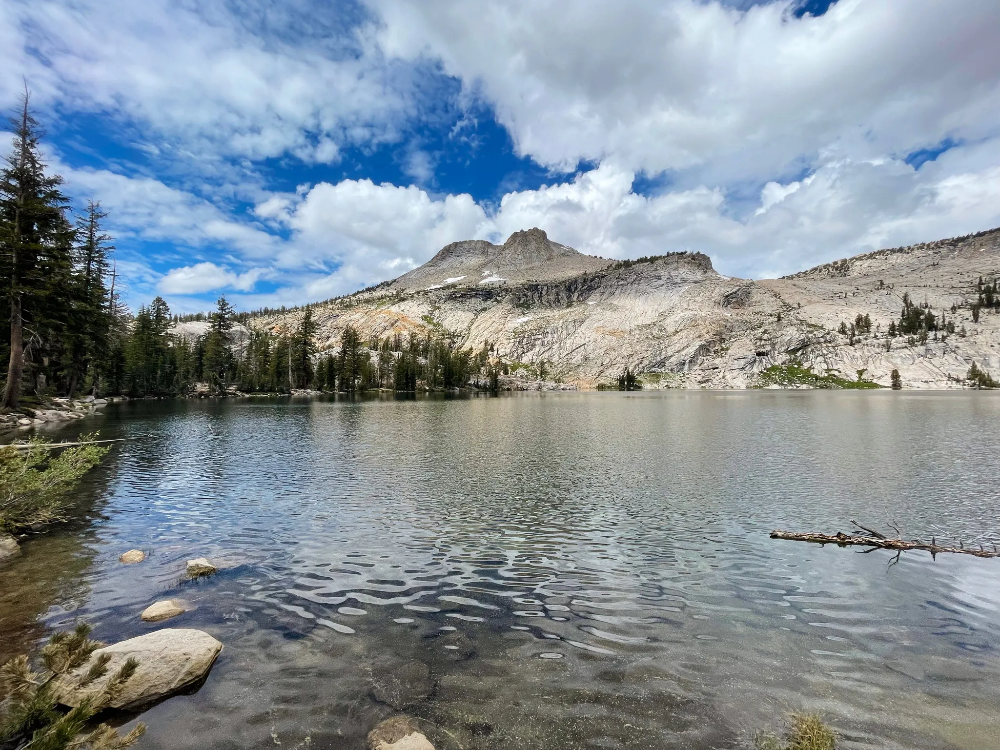
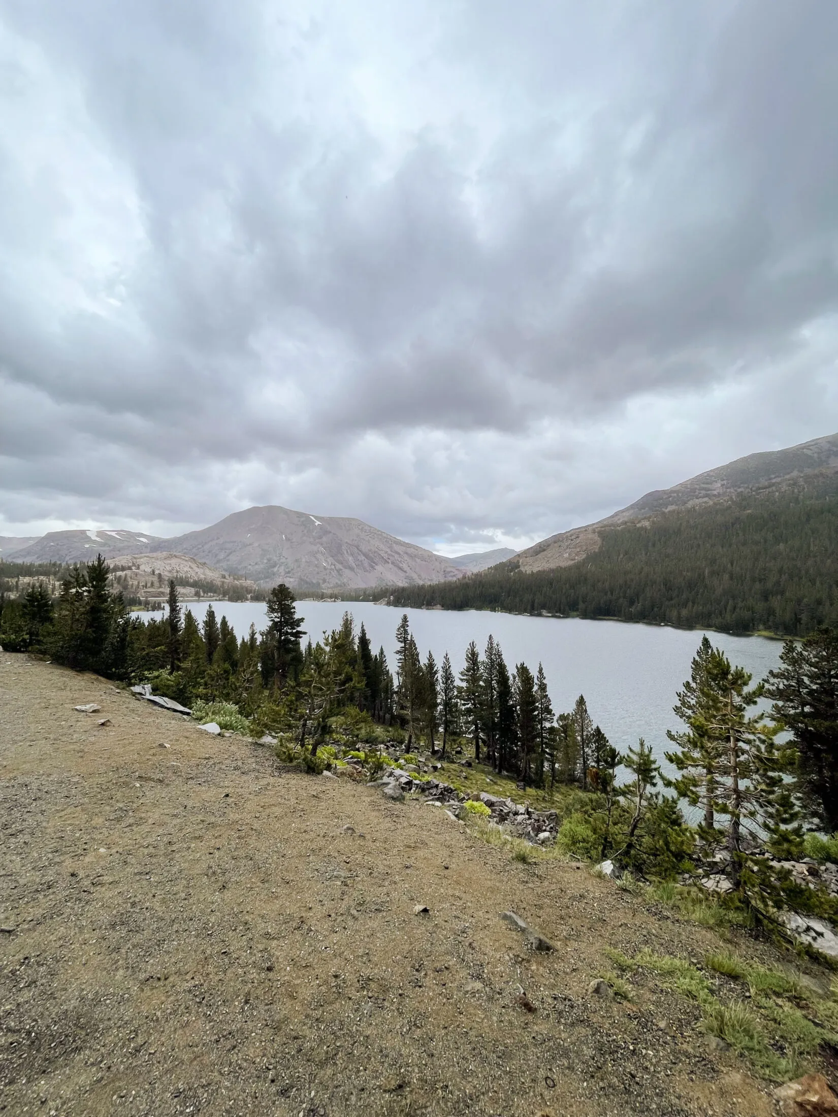
May Lake
May Lake is a beautiful lake at the base of Mount Hoffman and the hike isn’t bad—about 3 miles out and back.
Dad and I have done the Hike to May Lake several times over the years. It’s the same trail where on my first trip to Yosemite, we parked in the wrong lot and added a two-mile walk to the correct parking lot—my dad loves to tell that story.
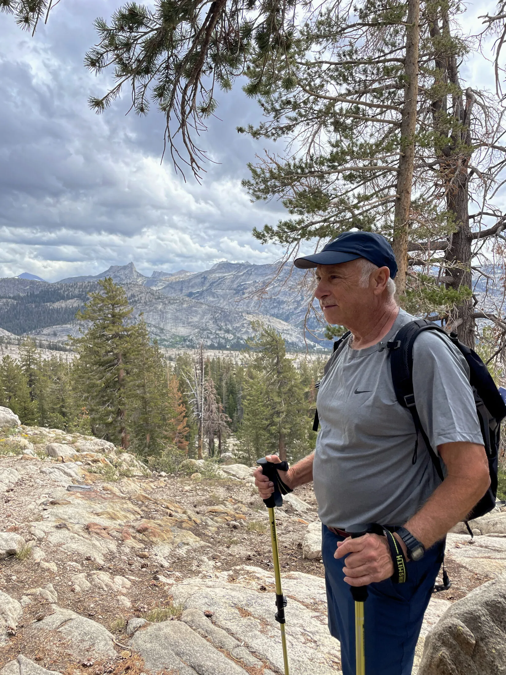
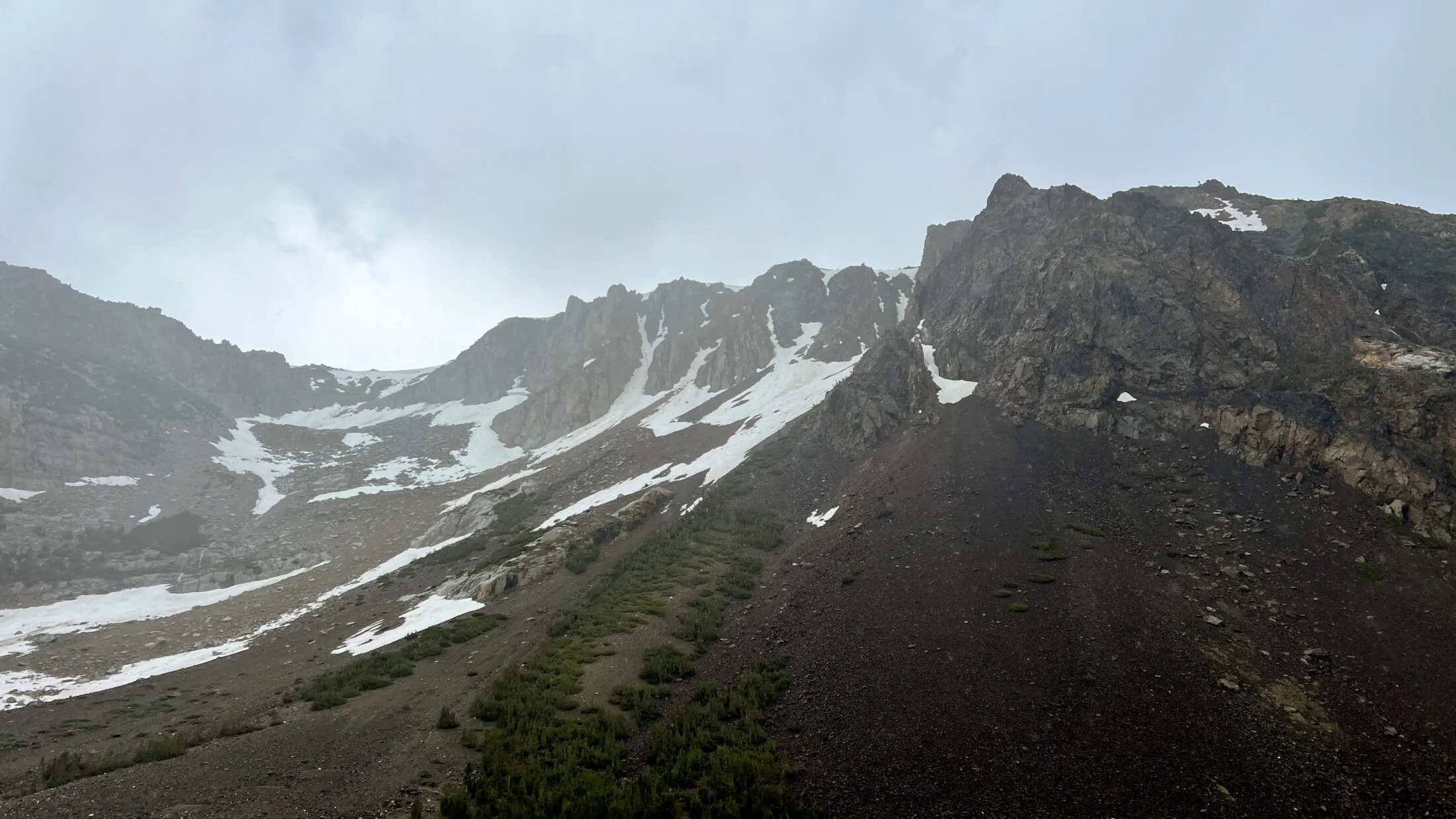
We had hoped to get to the lake and hang out and eat an early lunch. If the weather looked good, maybe Andi and I would try and scramble up Mount Hoffman. Unfortunately, the late snow made the mosquitoes unbearable. We stayed for about 15 minutes and then headed back down.
Although no rain was forecast, there was starting to be a lot of cloud cover and figured we should get moving. Weather in the Sierras can be unpredictable.
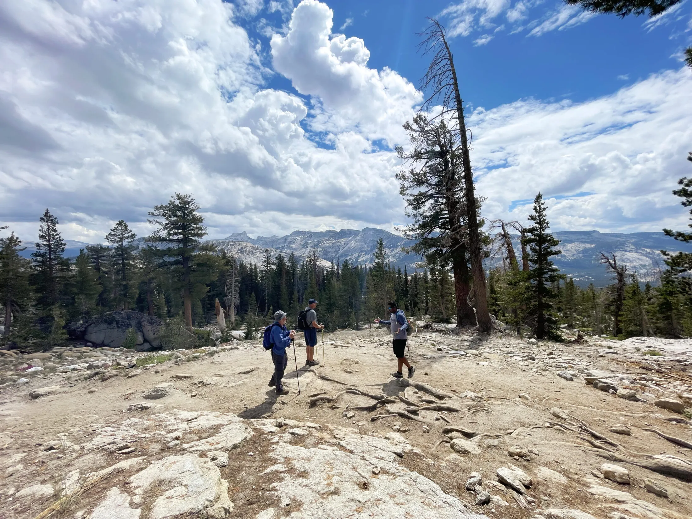
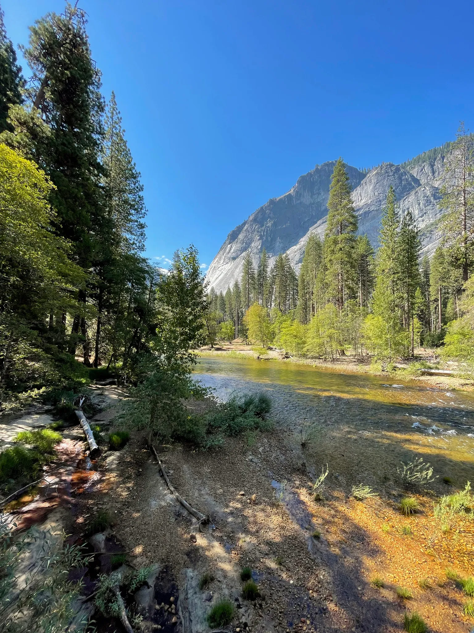
Tuolumne Meadows and the John Muir Trail
We had initially planned to stay in Tuolumne Meadows for the trip. However, the park decided not to open the High Sierra camps again this year. Sadly, they haven’t been open in several years. First COVID, then staffing shortages and then heavy snows damaging key structures.
After we returned from May Lake, we drove over to see if we could see the damage. Unfortunately, the road was blocked after the John Muir trailhead. If the damage was anything like the buildings we saw on the way there—roofs completely caved in—there probably wasn’t much to see anyway.
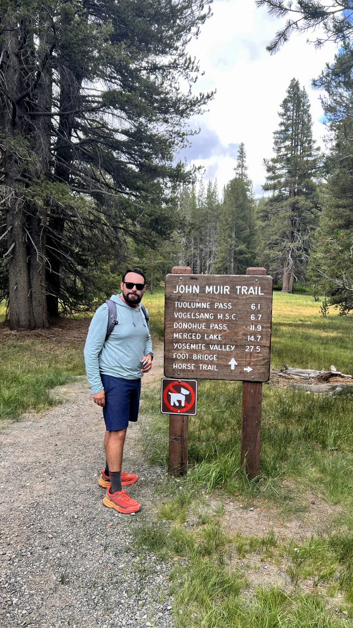
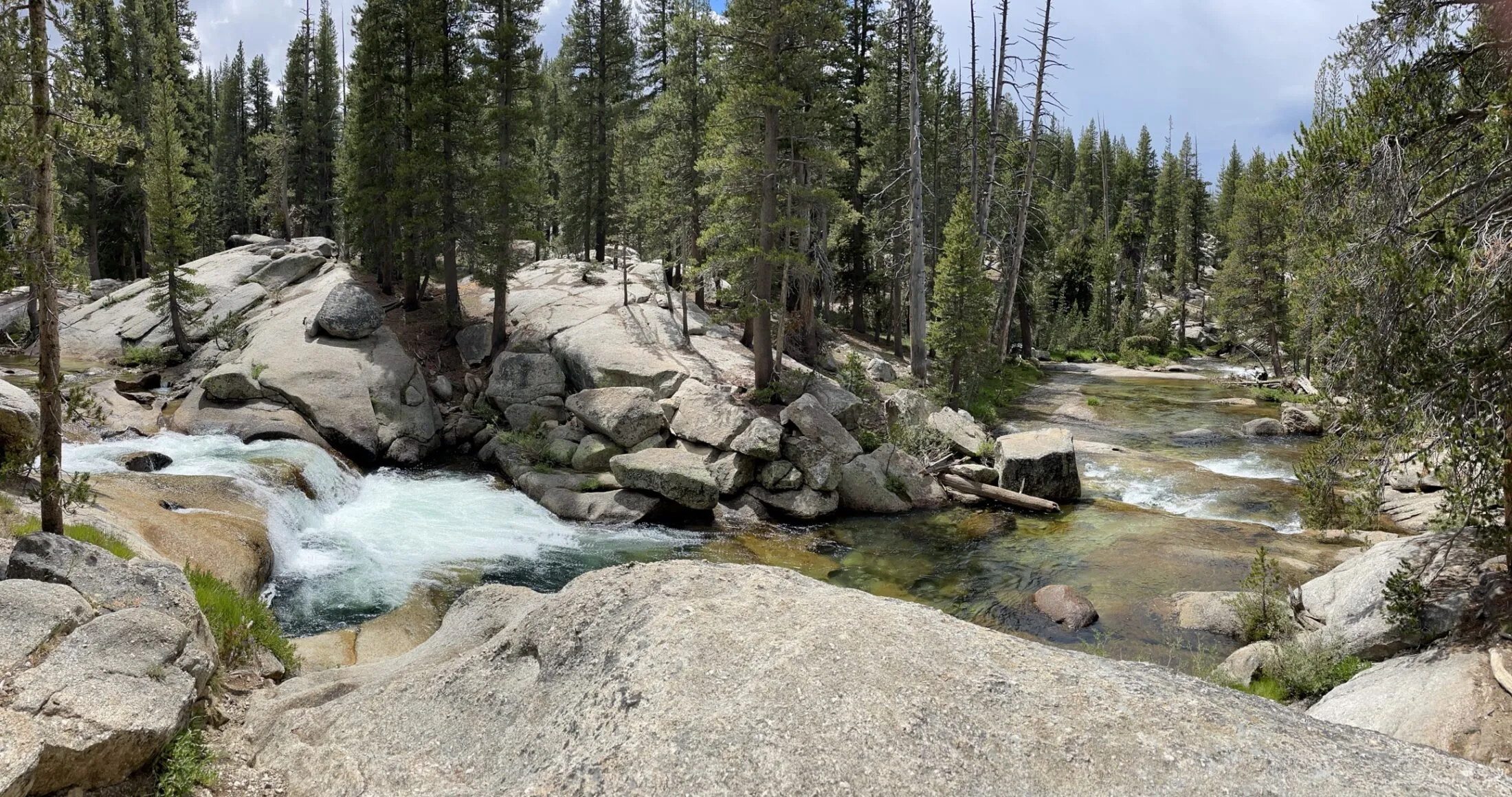
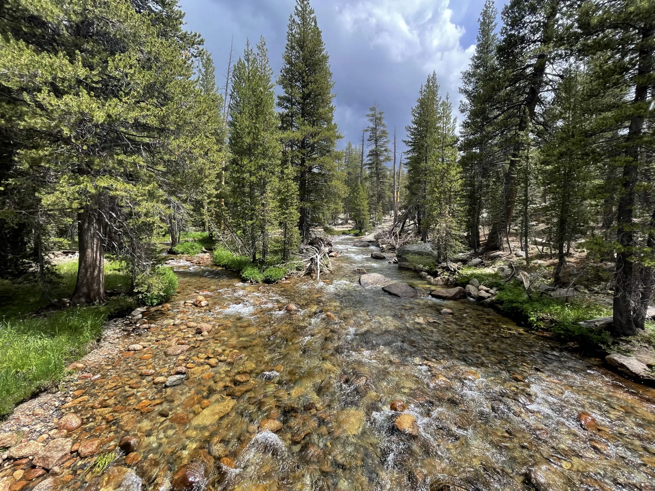
We decided to take the John Muir trail through the meadow. Twin Bridge is about a mile in—and has been one of my favorite photo spots over the years. Unfortunately, that didn’t last long. About 15 minutes in, it started pouring. We head back to the car to reassess.
The Whoa Nellie Deli
With heavy rain forecast for the rest of the day, we thought that we’d continue driving east. There’s a cool ghost town called Bodie that we have been to several times. It’s a several-hour drive, but with the rain, it didn’t look like we were going to much hiking in the park.
The farther east you go the more desert-like it gets. The Sierras force the rain out making for a desert climate. It’s a wild drive to watch the terrain change so drastically in a short period.
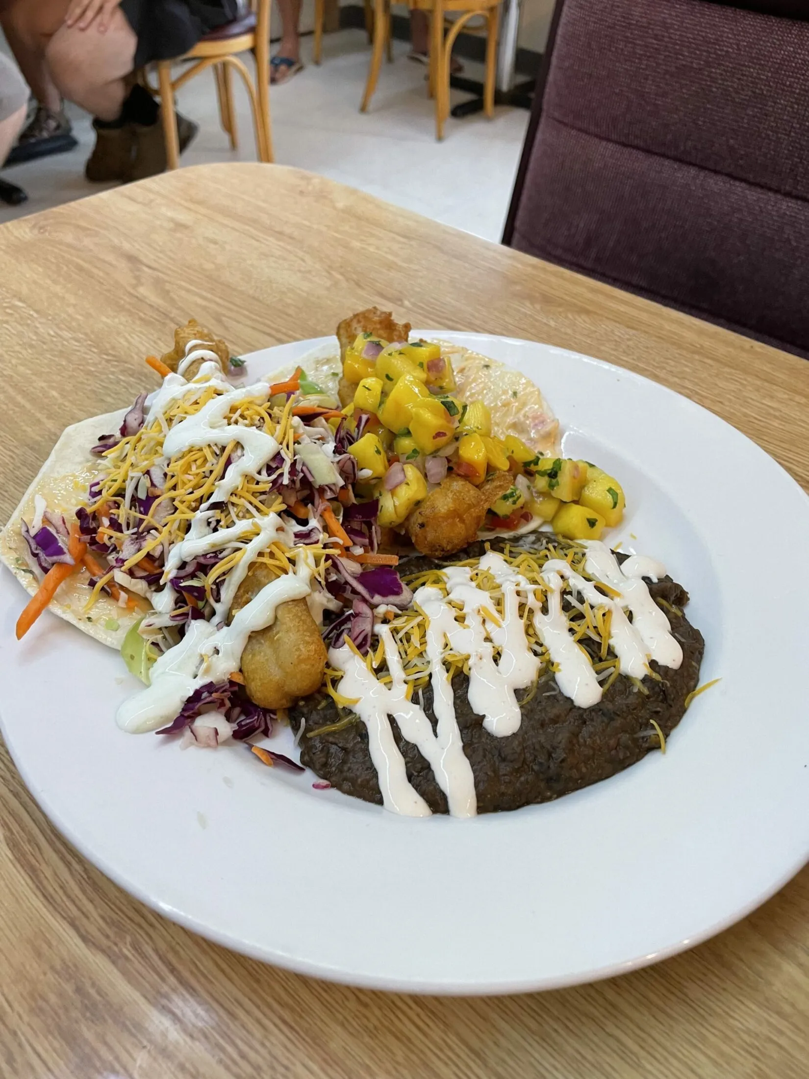

There is a gem hidden in the small town of Lee Vining. In a Mobil gas station before you get to Mono Lake—the Whoa Nellie Deli. It is not your typical gas station fare. Andi and I split the fish tacos—one with ginger slaw and the other with mango salsa. They were out of this world.
If you’re headed from Yosemite to Bodie, you owe it to yourself to stop. You’ll probably need gas anyways.
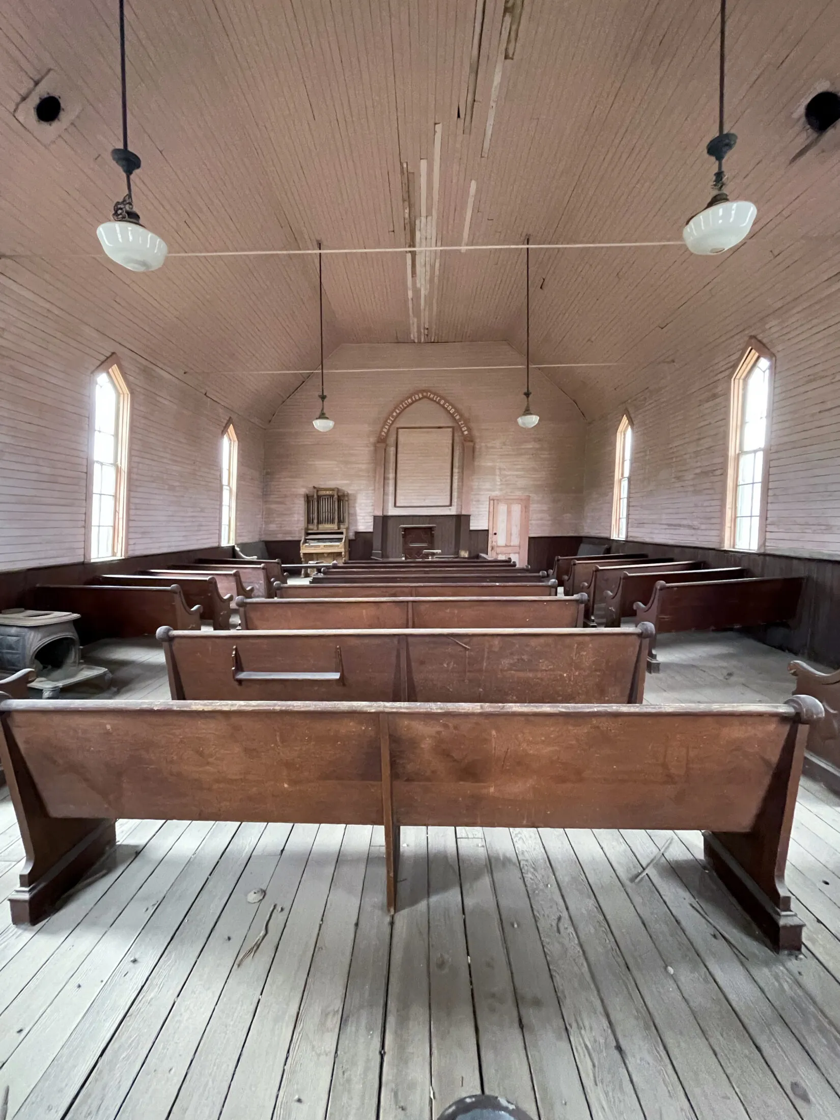
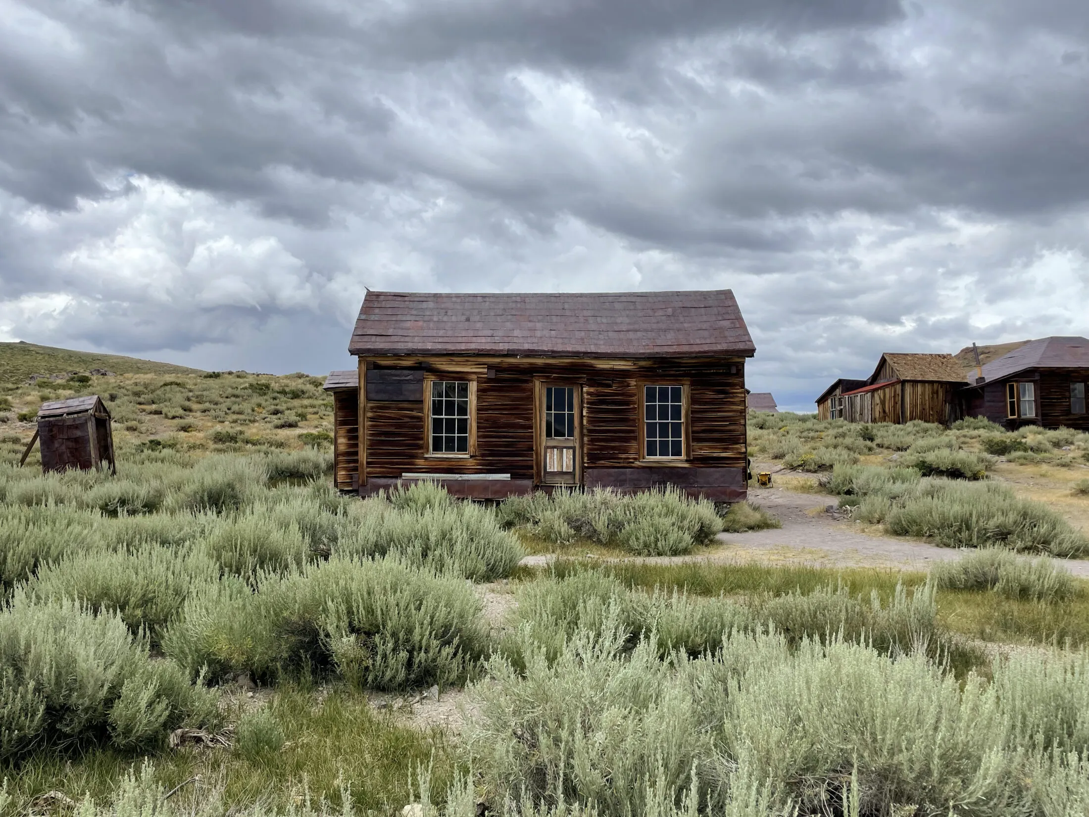
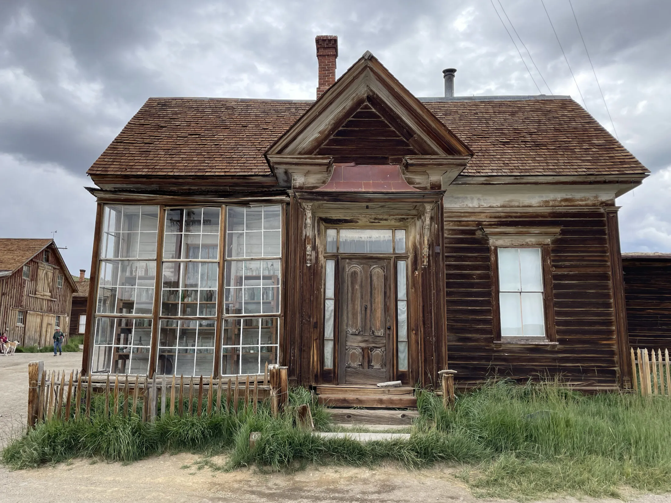
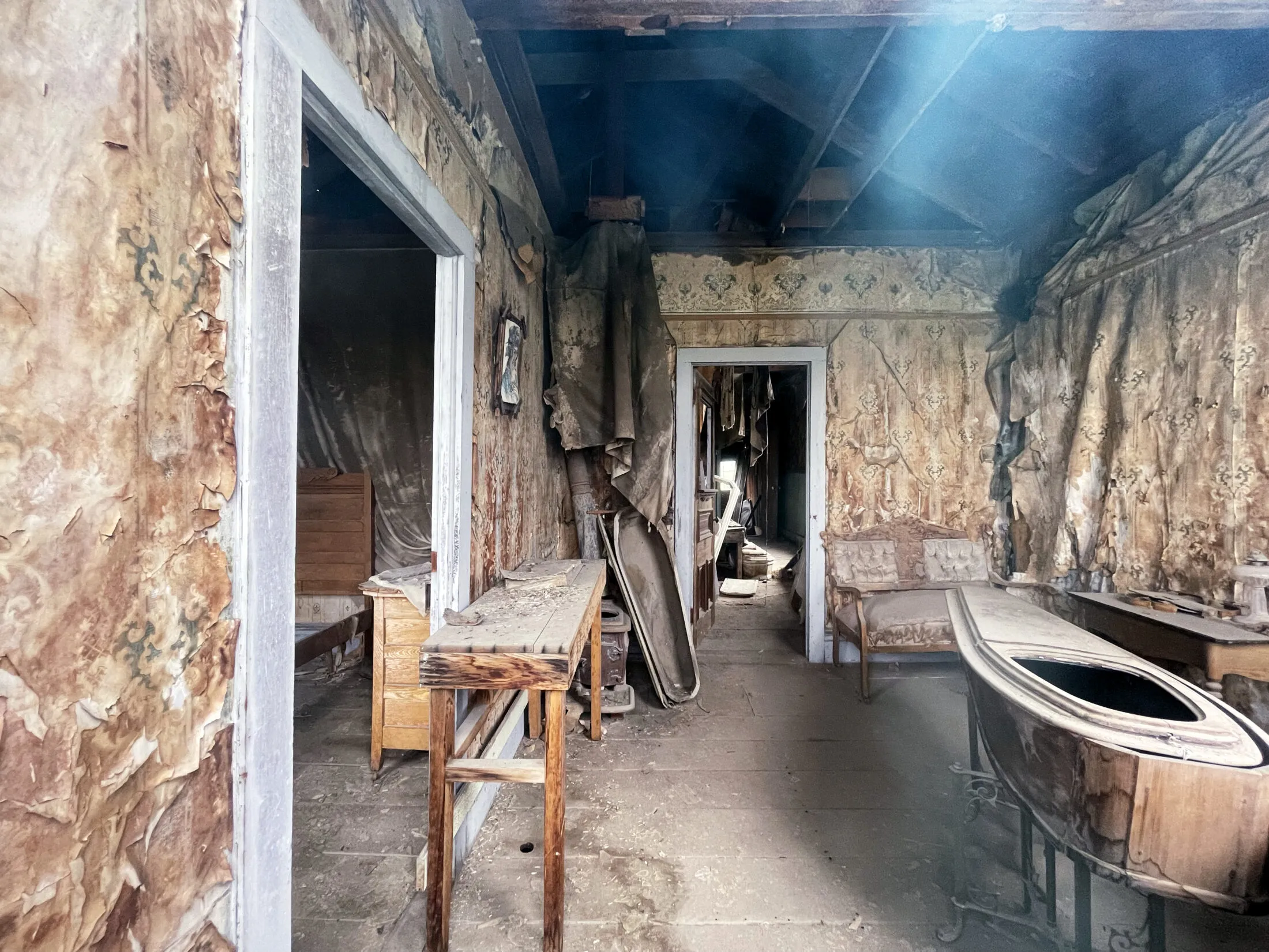
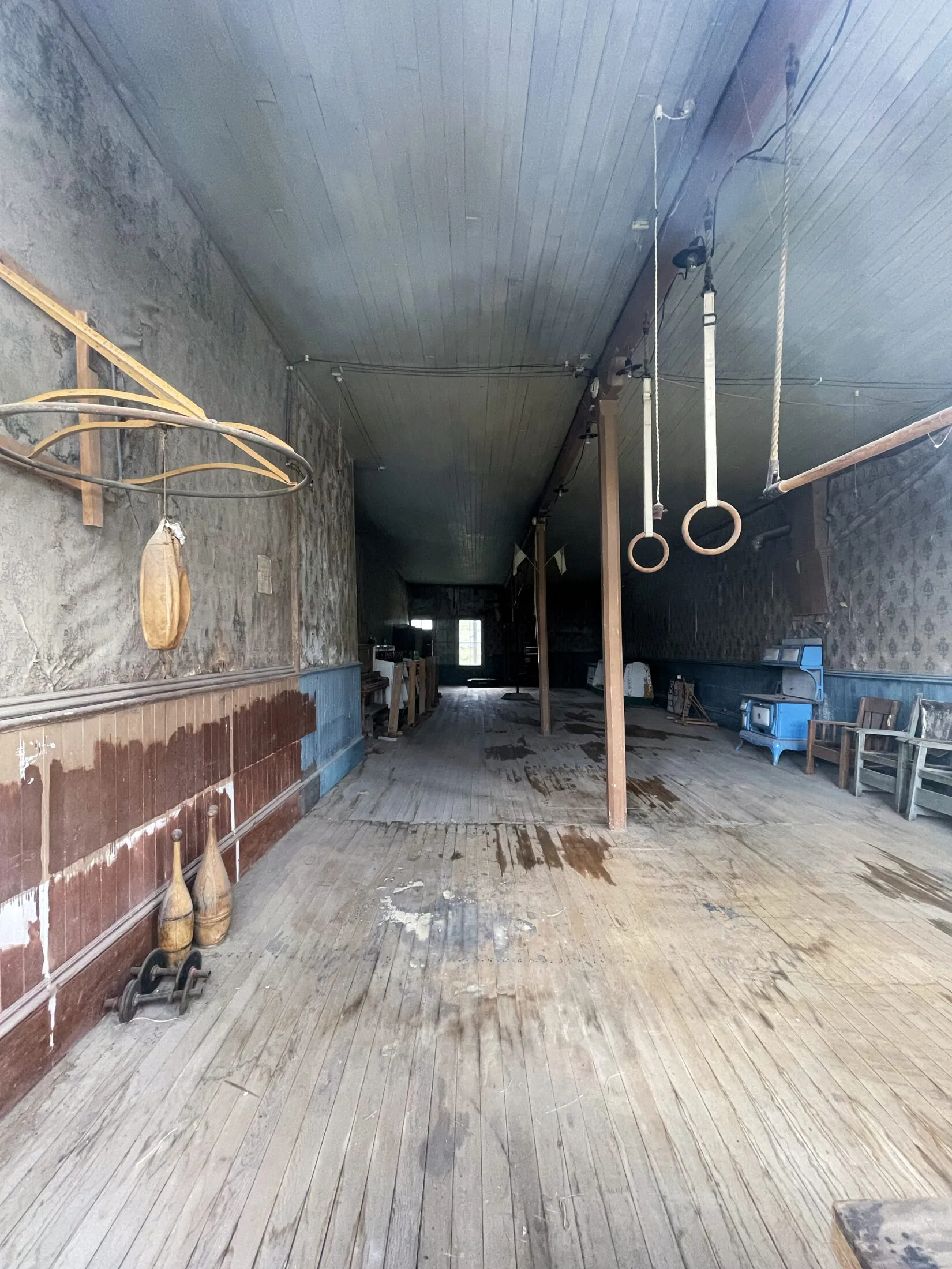
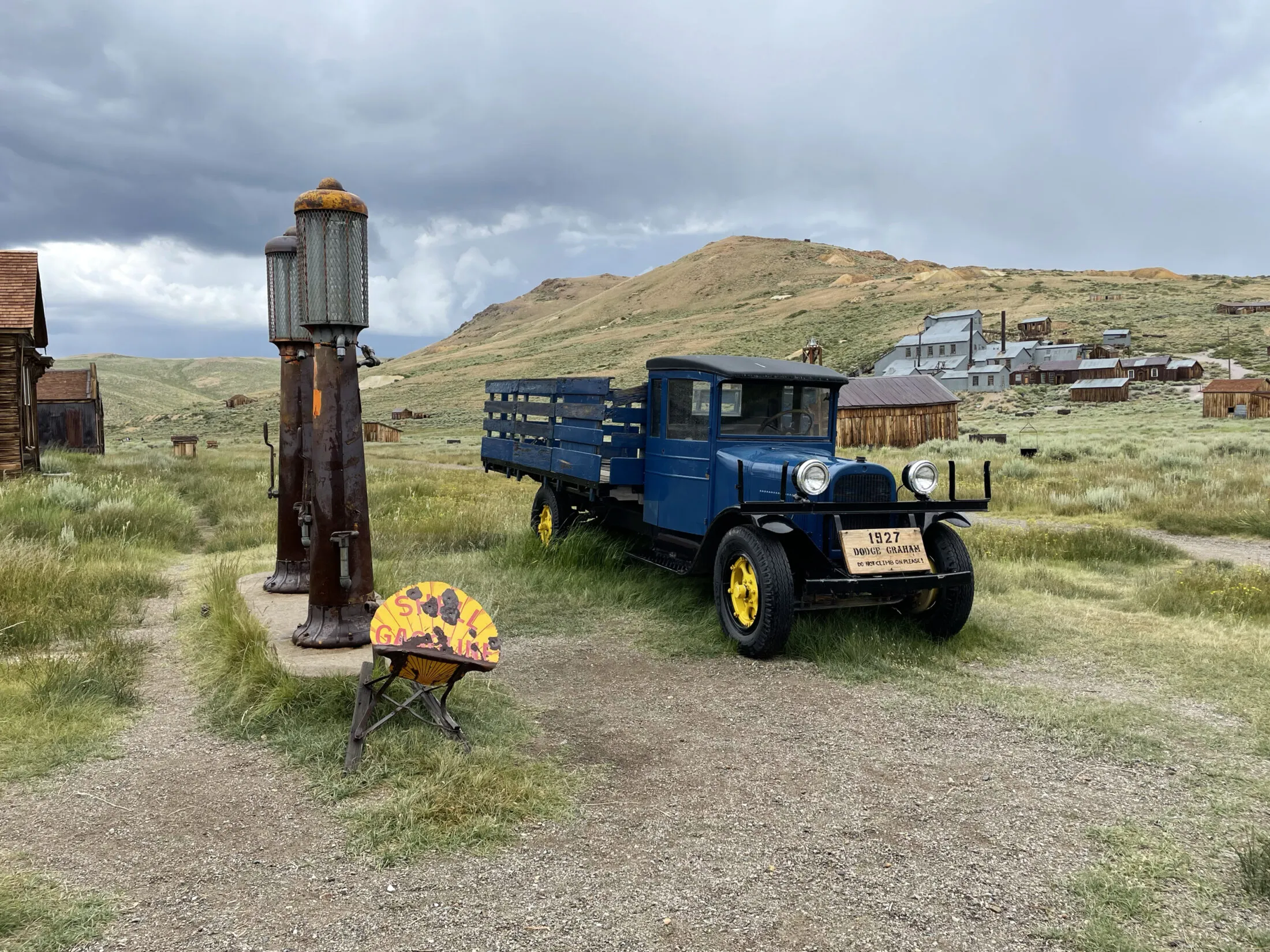
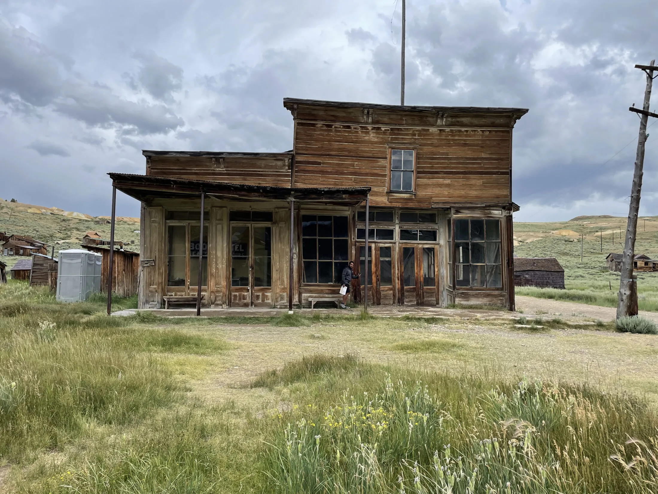
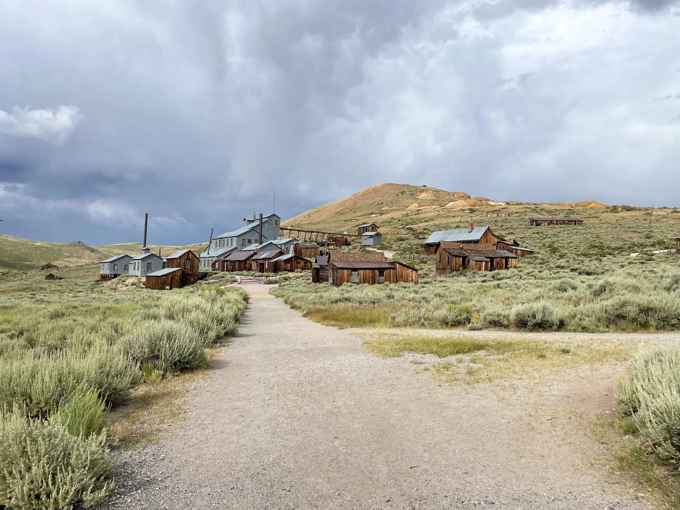
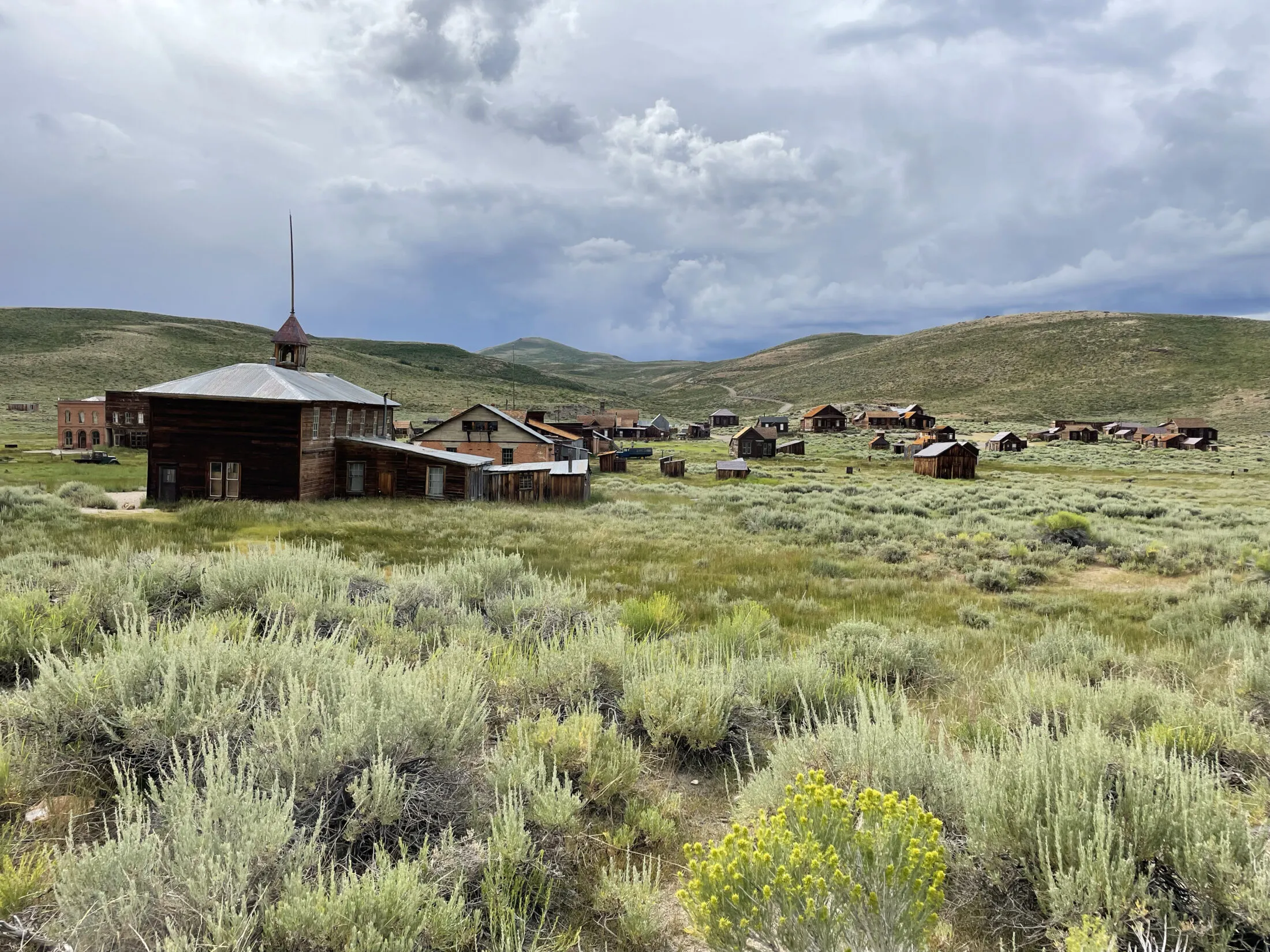
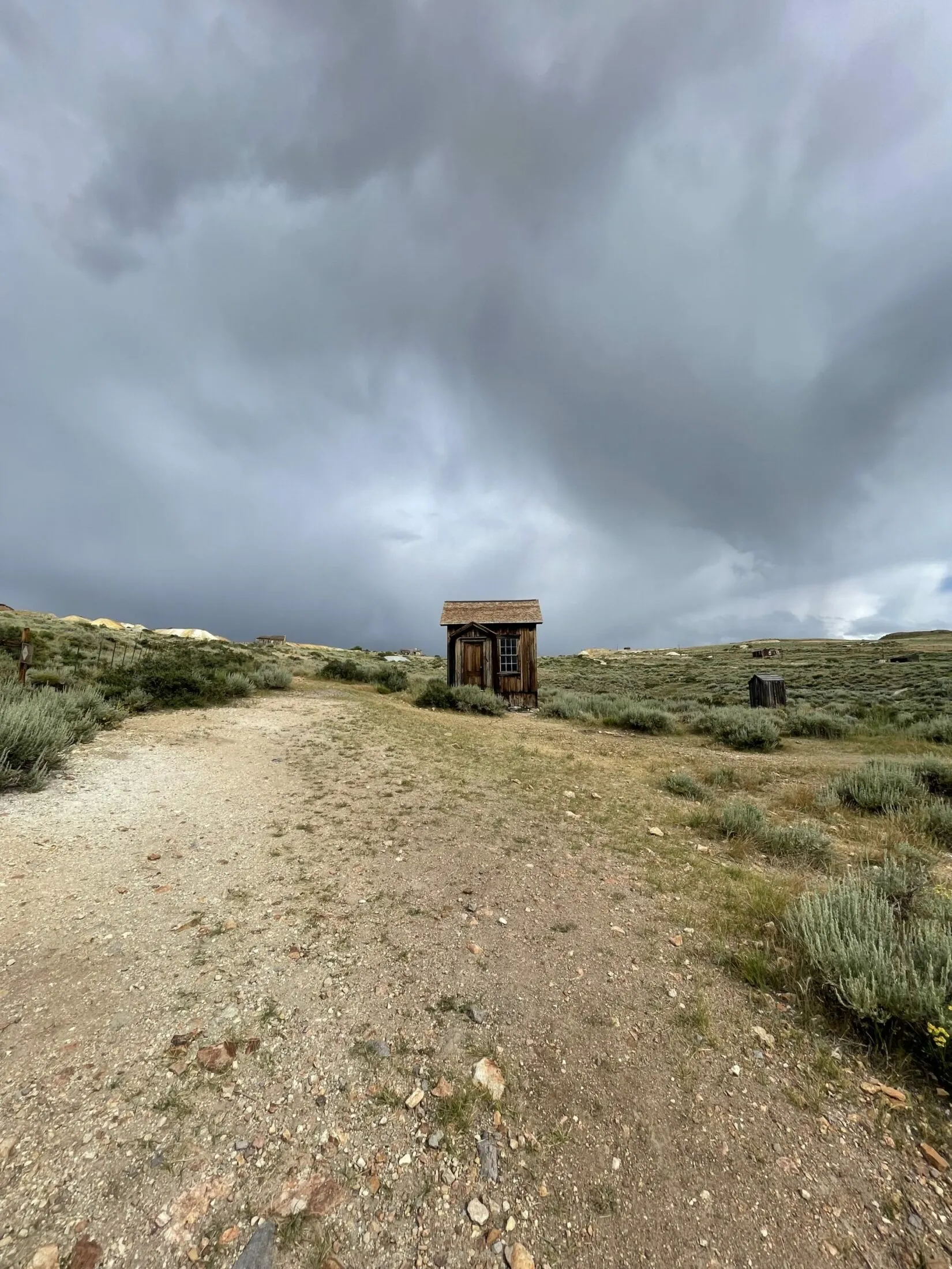
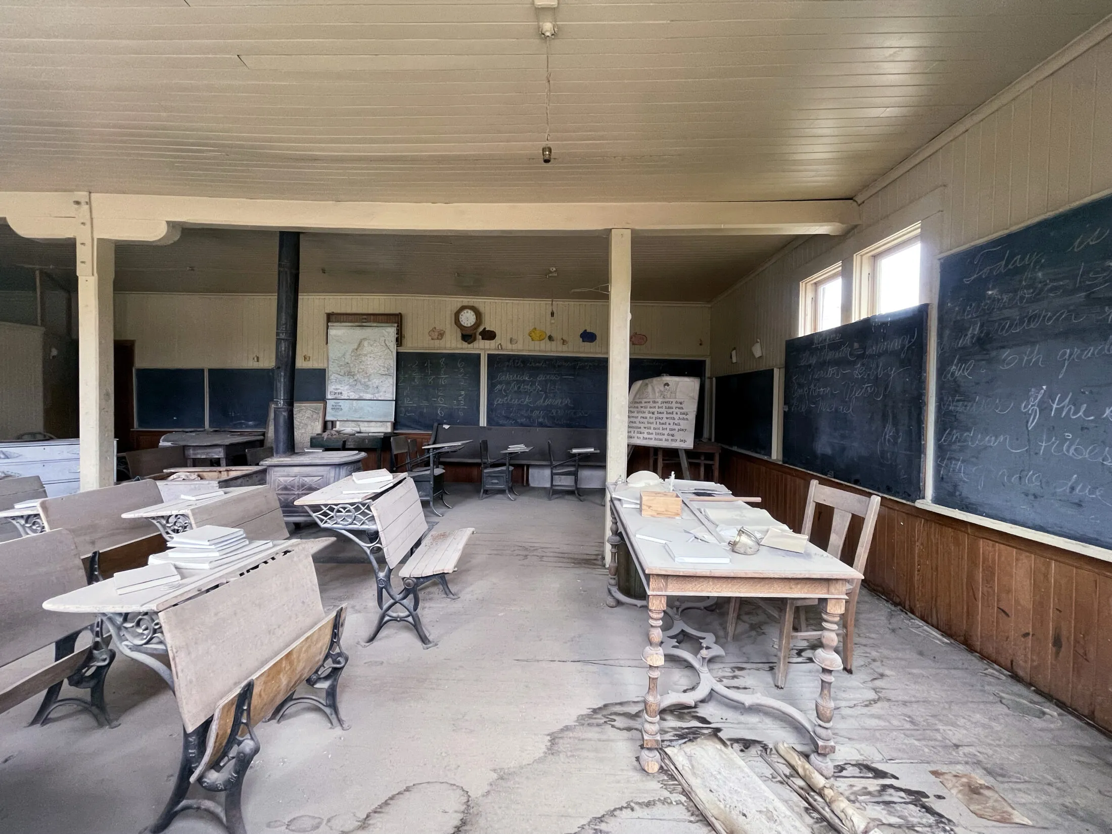
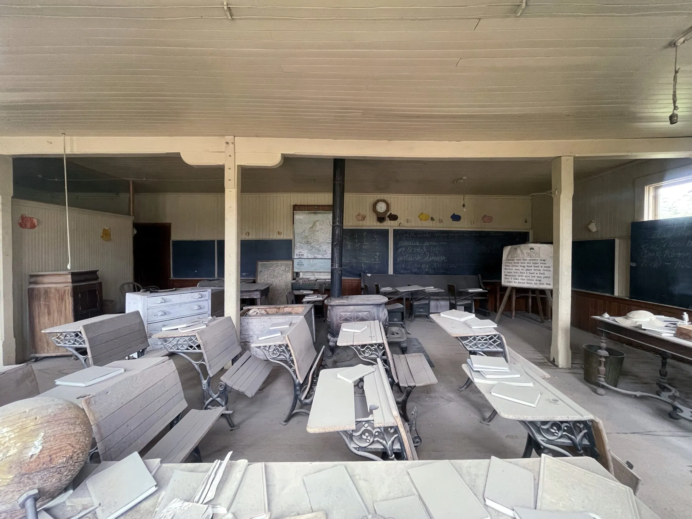
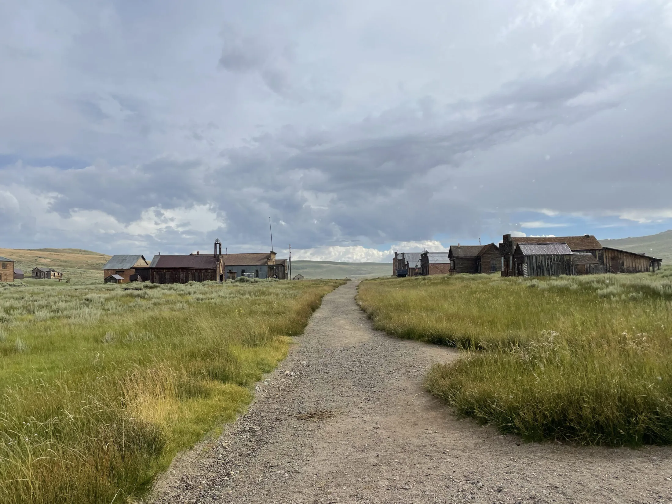
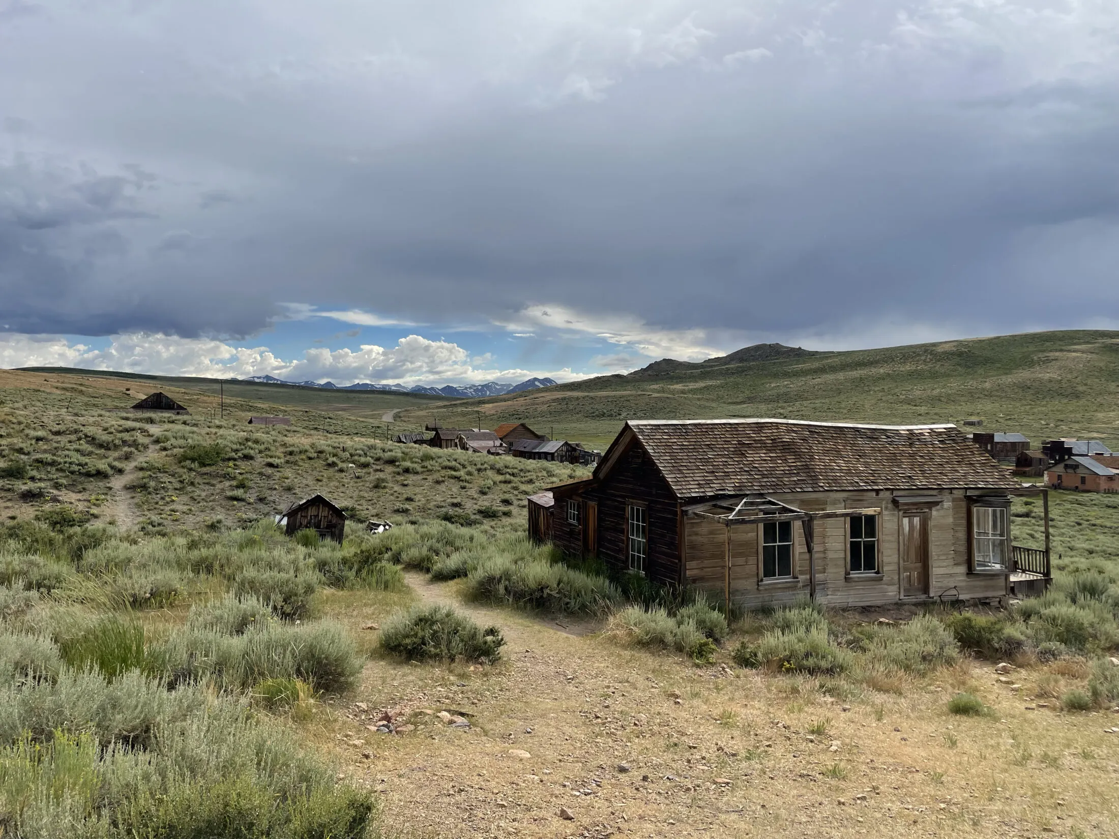
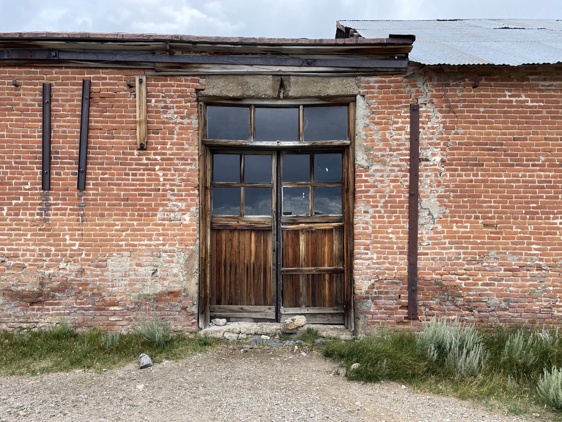
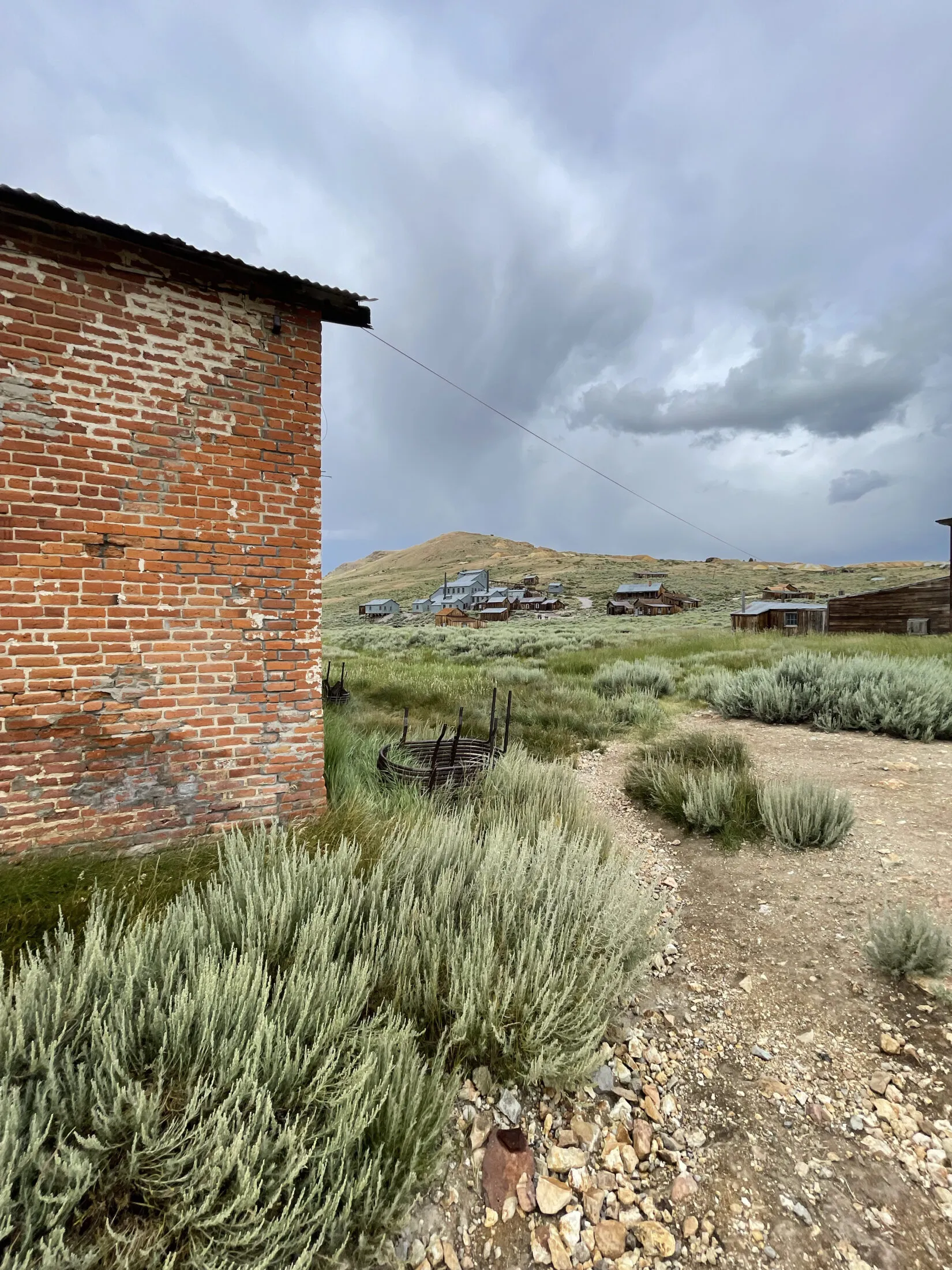
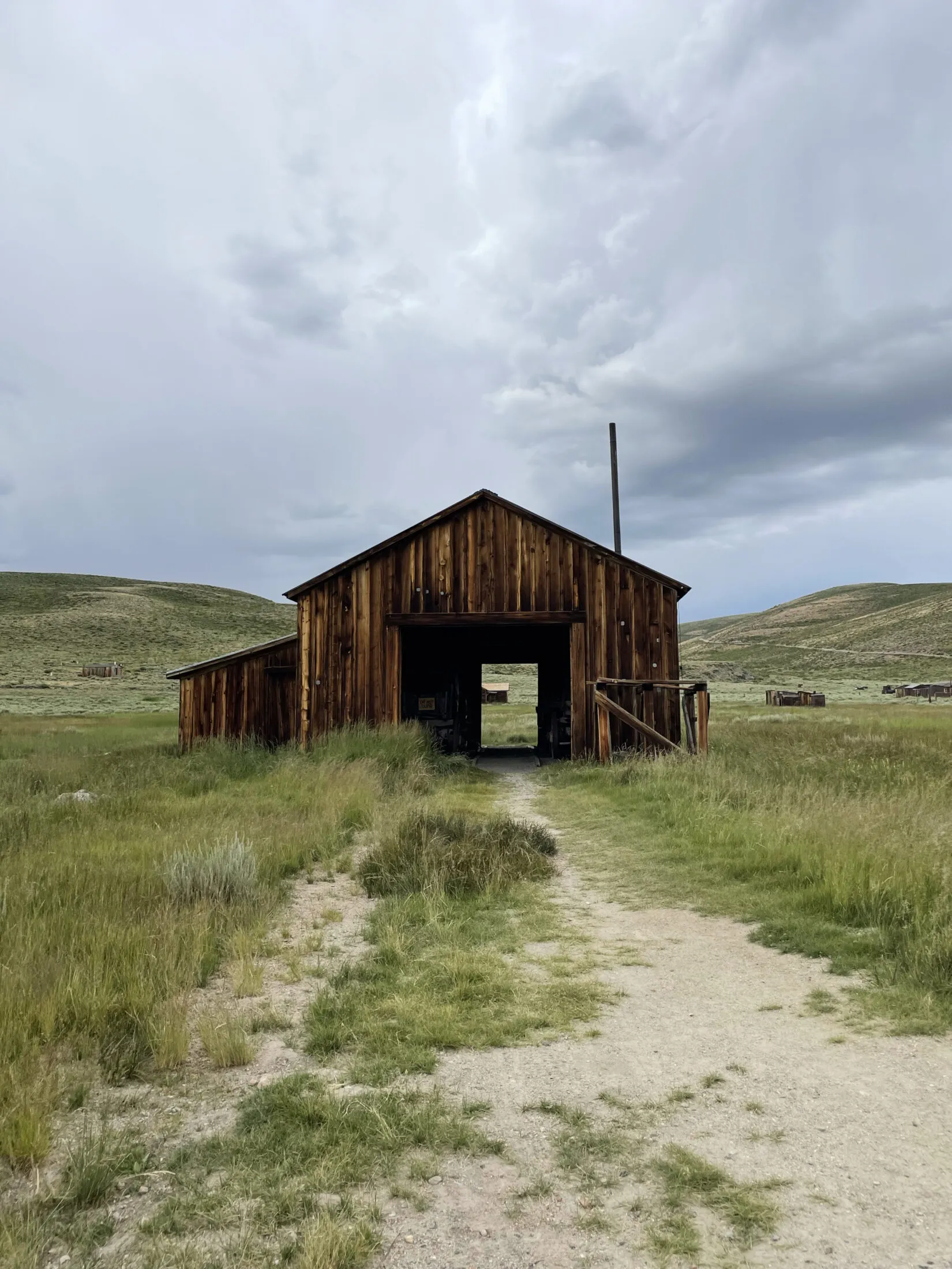
Bodie
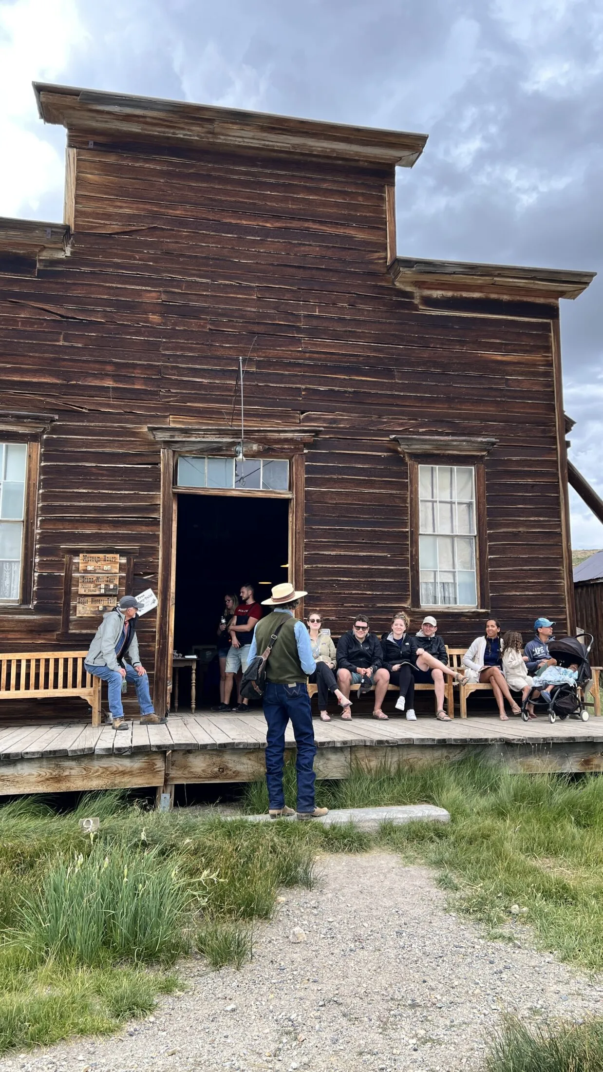
We were not, exactly, right about escaping the rain. It followed us almost the entire way to Bodie. Fortunately, it stopped about the time we arrived.
I think it may have been a blessing. The best photos I took on this trip were in Bodie. The cloud cover provided interesting skies and perfect lighting.
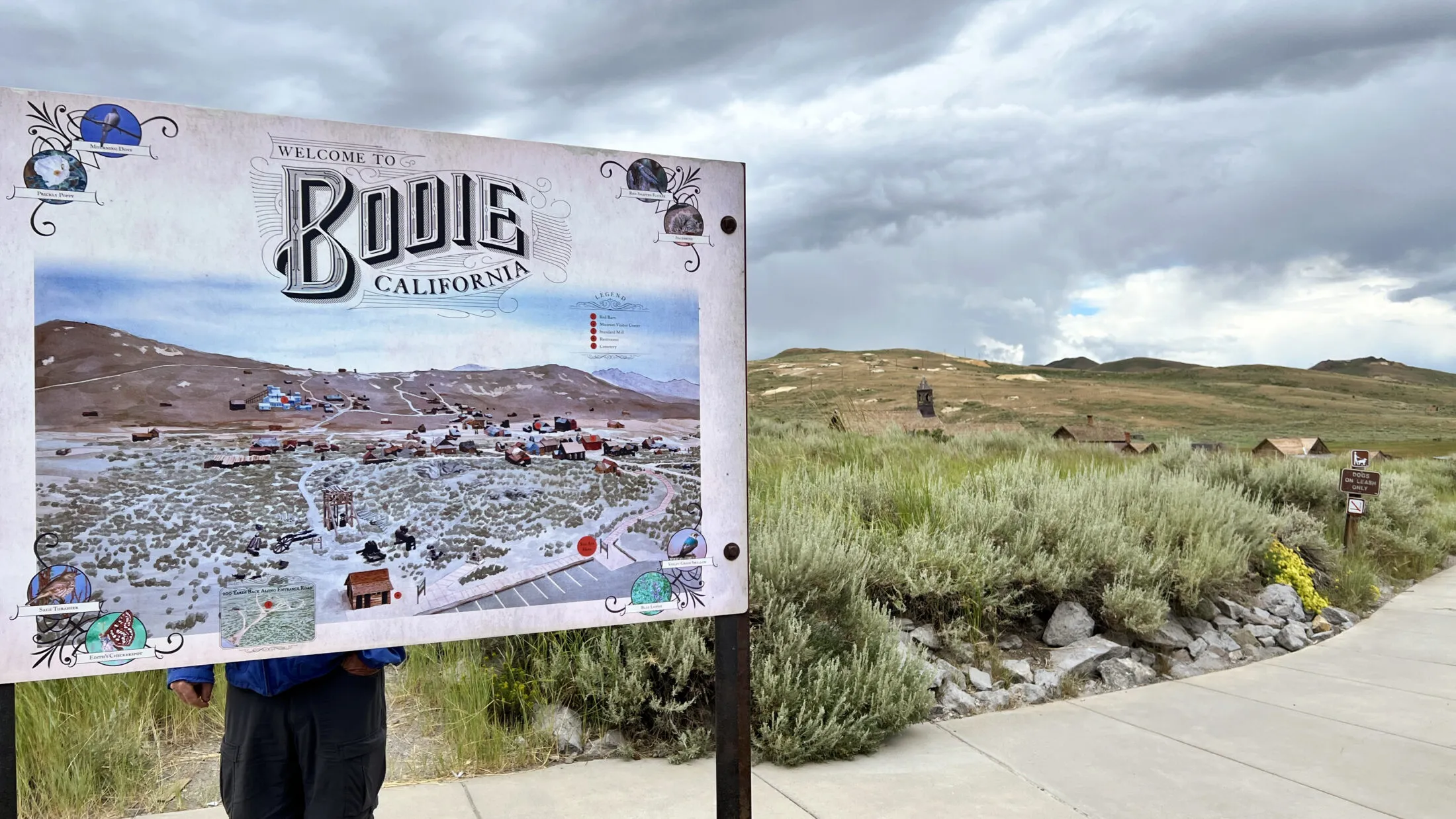
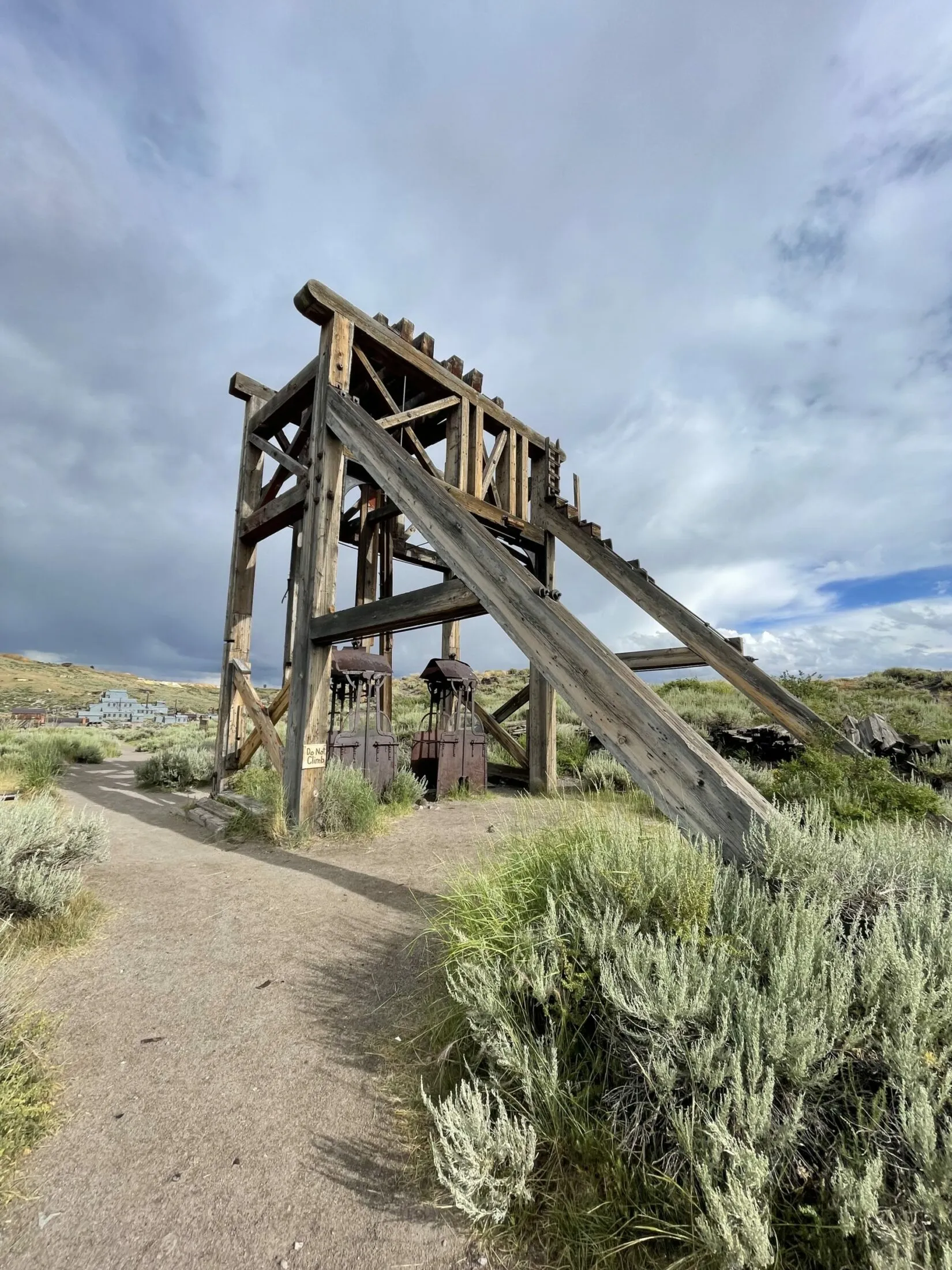
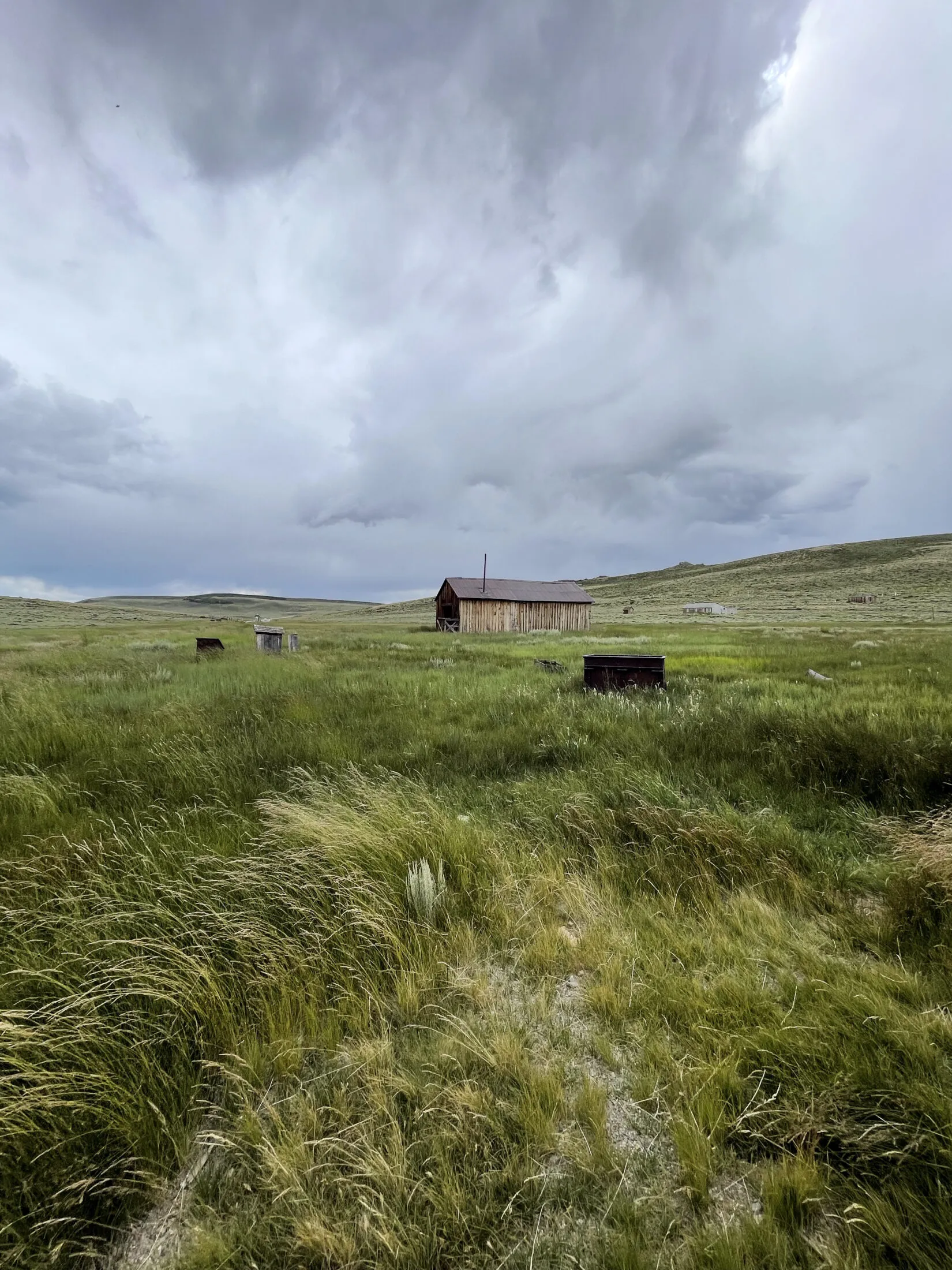
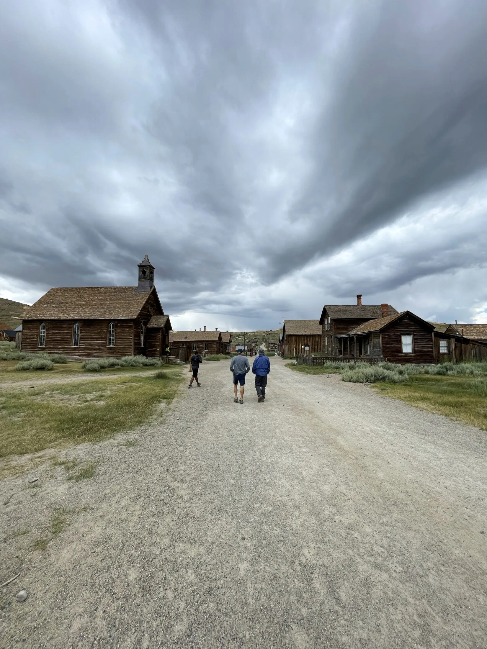
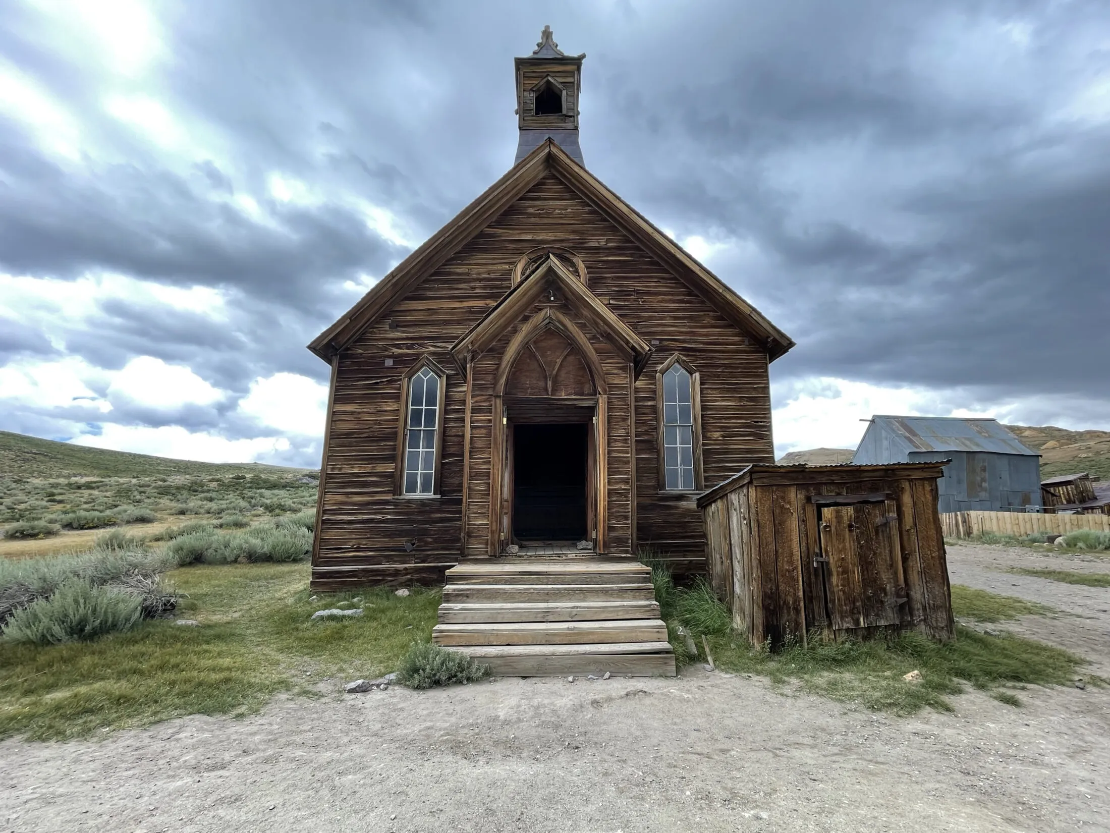
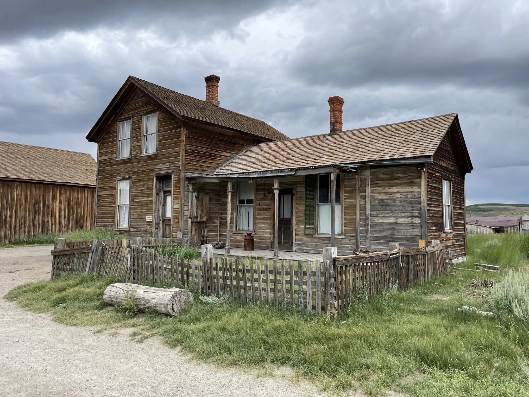
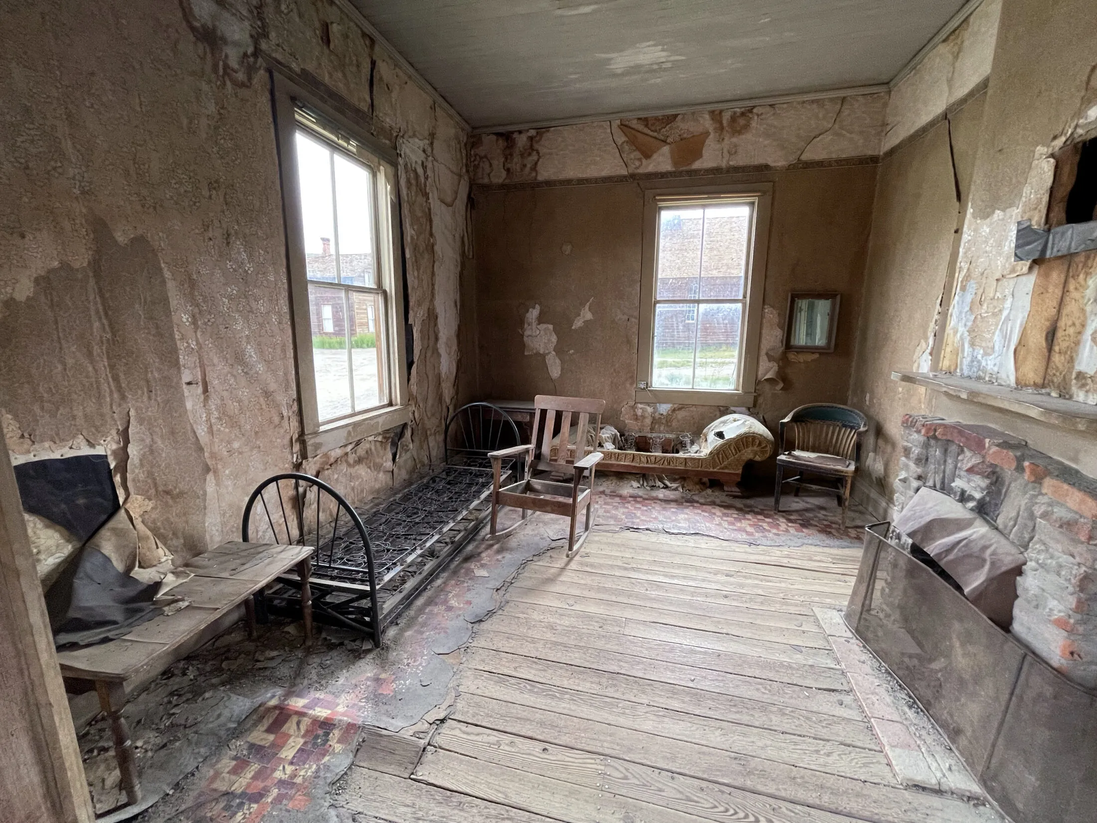
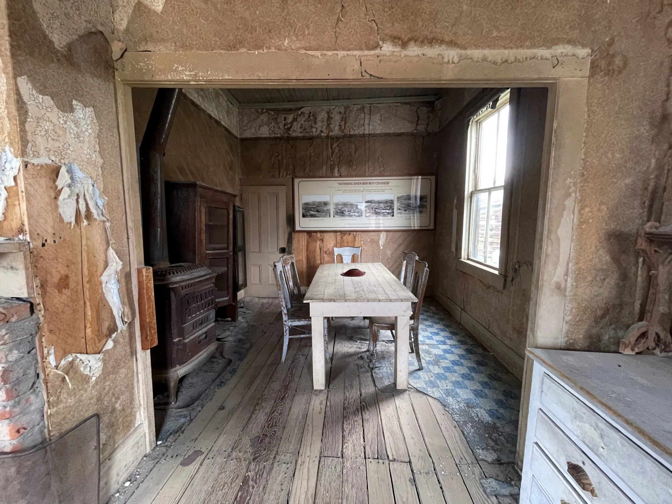
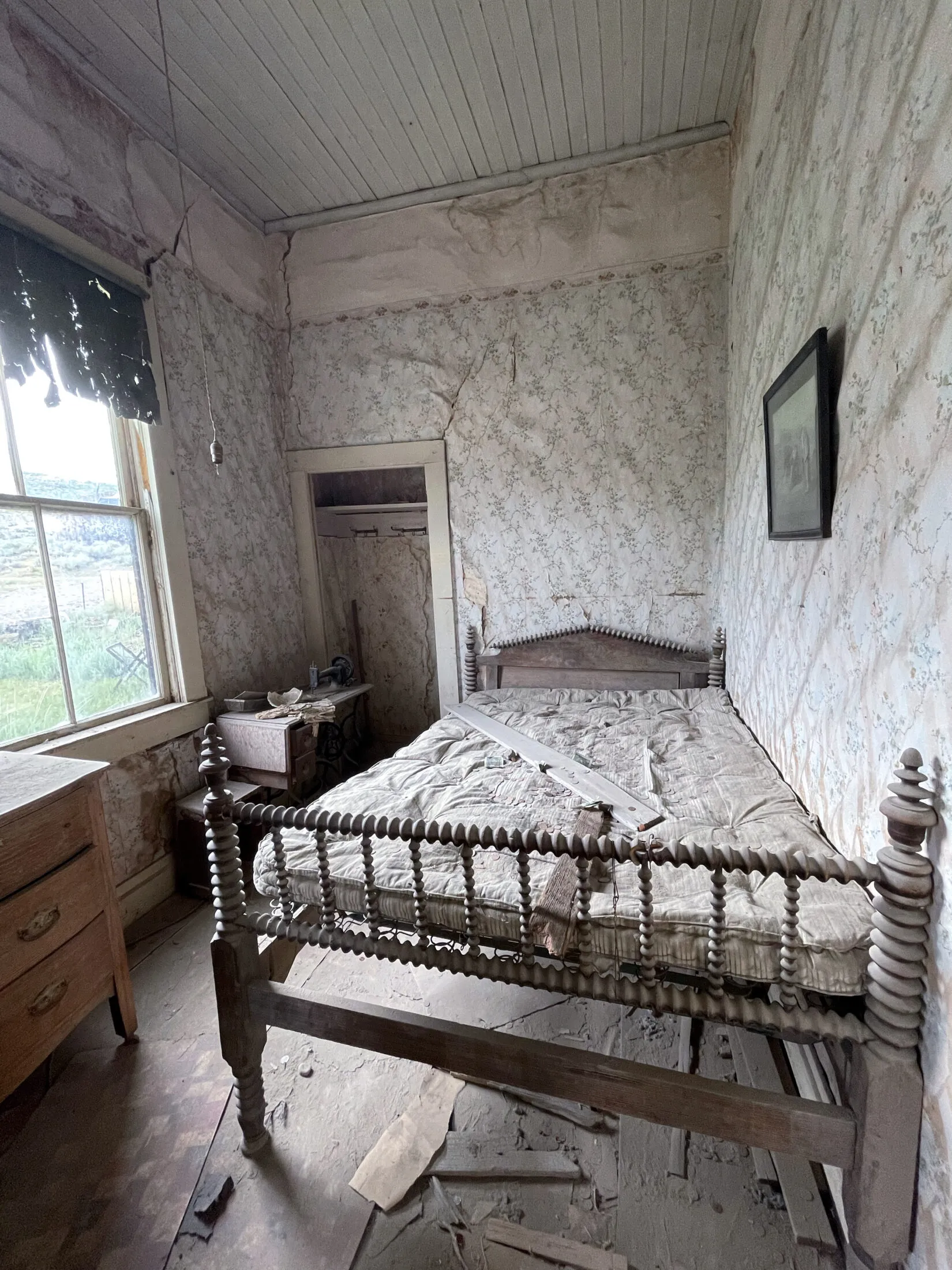
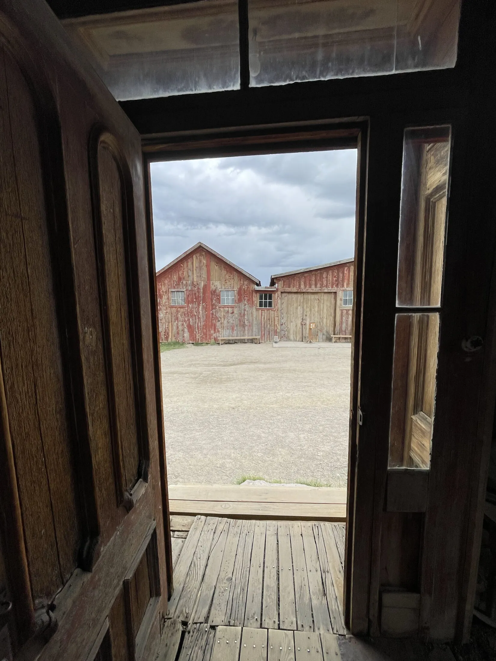
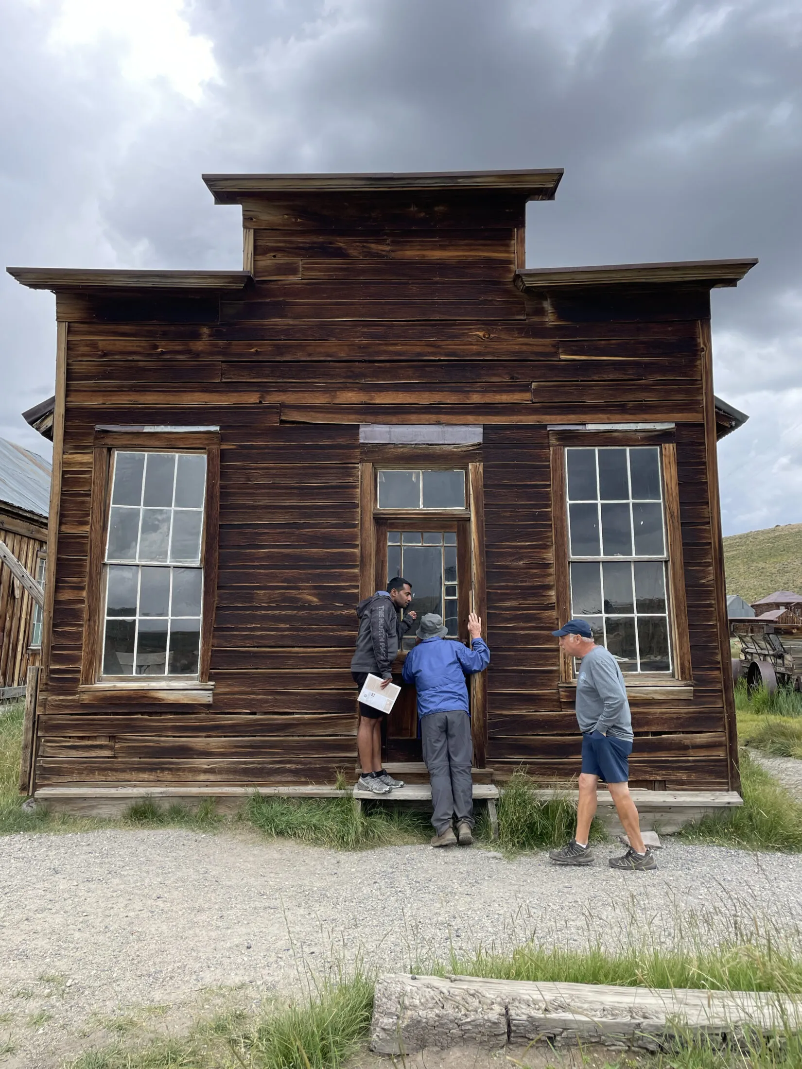
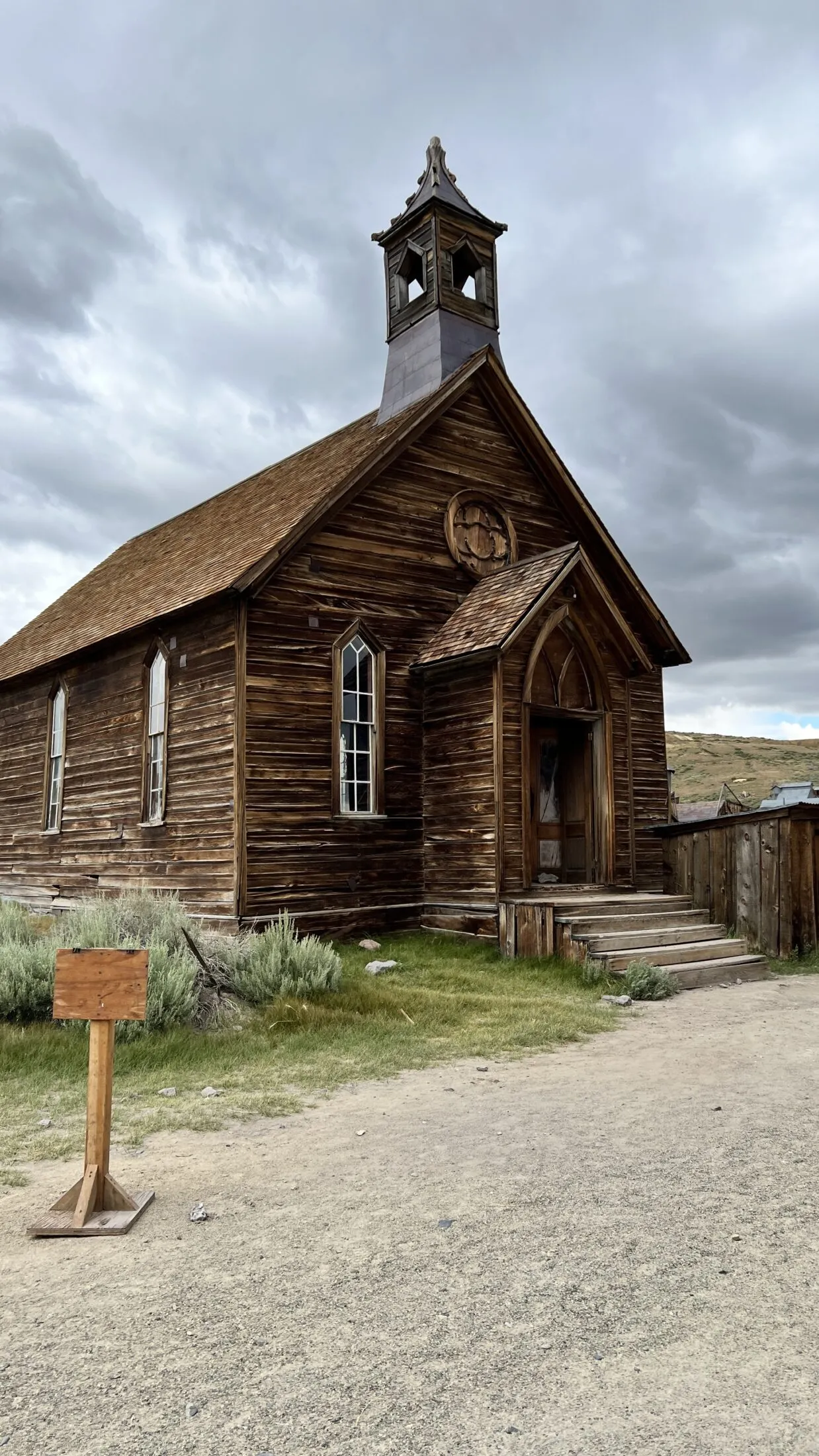
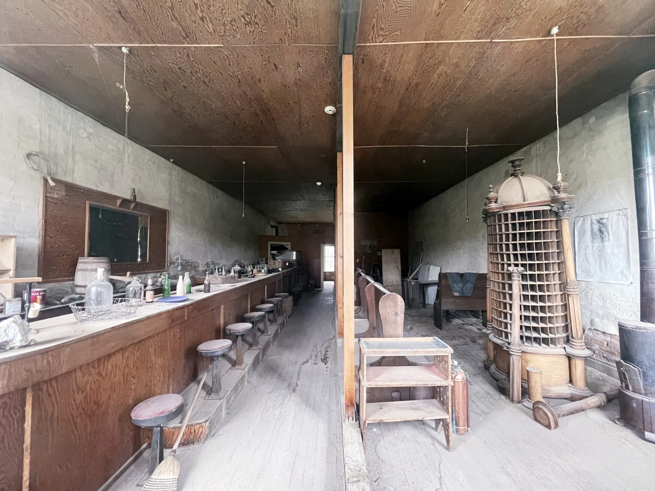
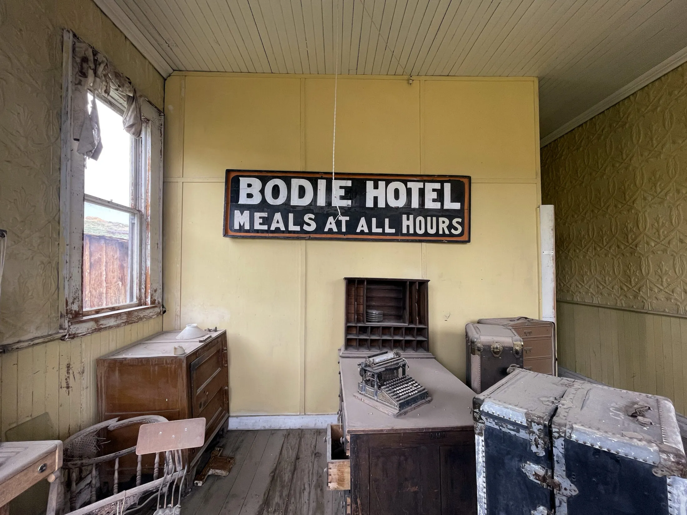
California State Parks has been an excellent steward of Bodie. They try to preserve things as they were, but they do not restore or rebuild things. It doesn’t feel fake, or touristy. It’s a cool, historical mining town with a ton of history.
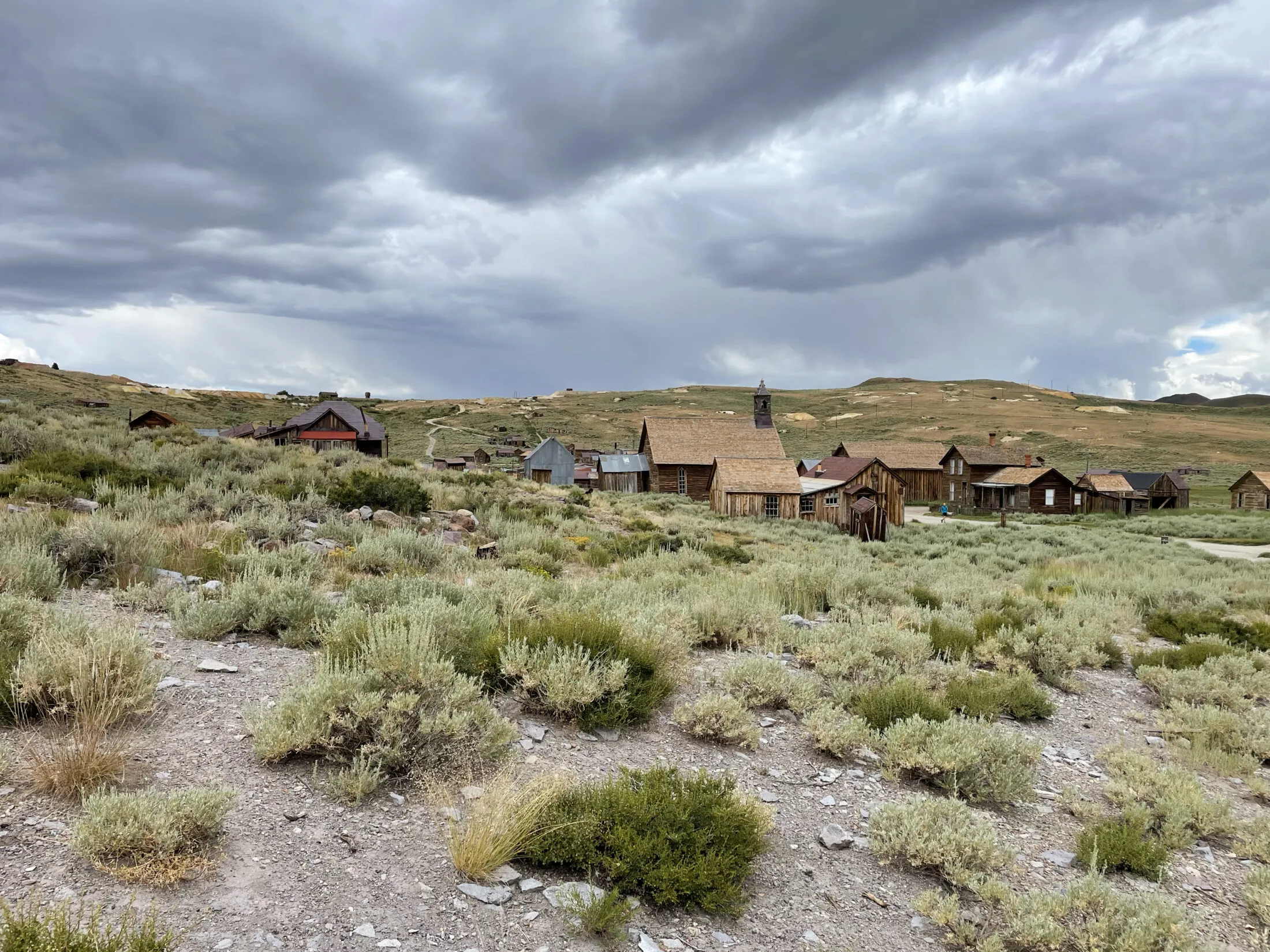
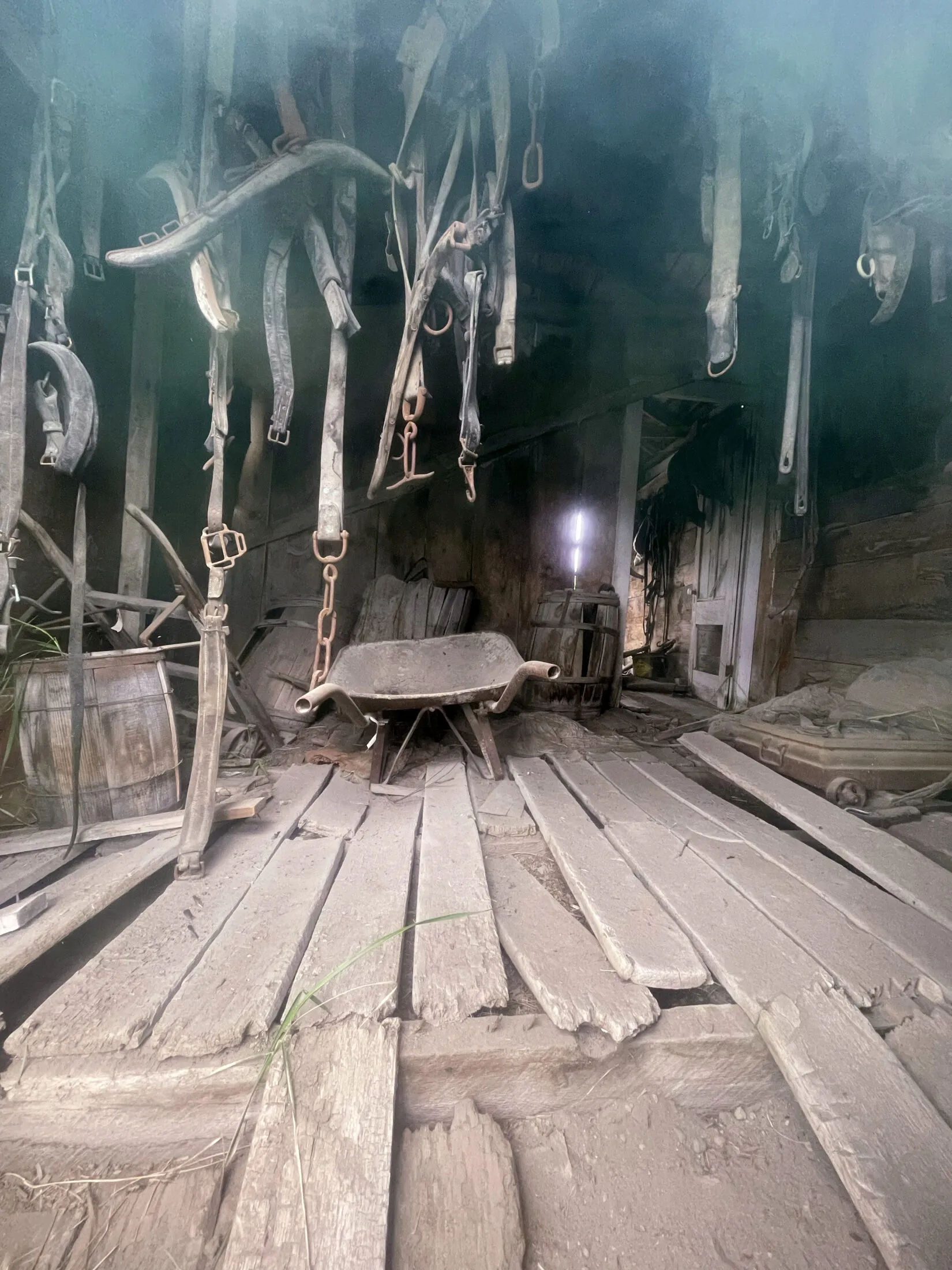
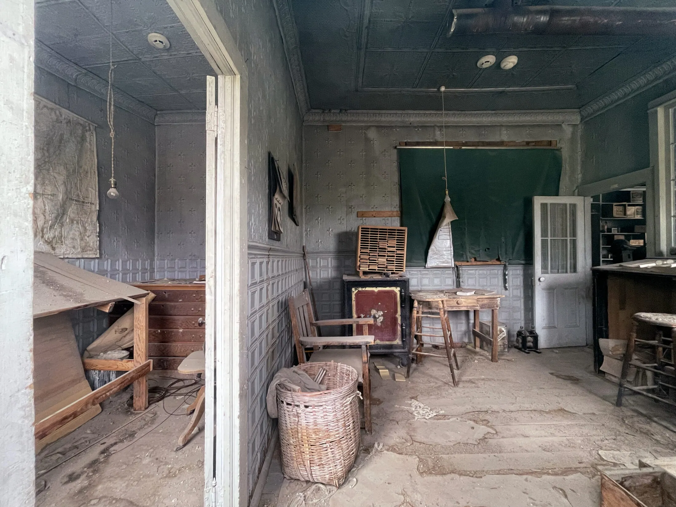
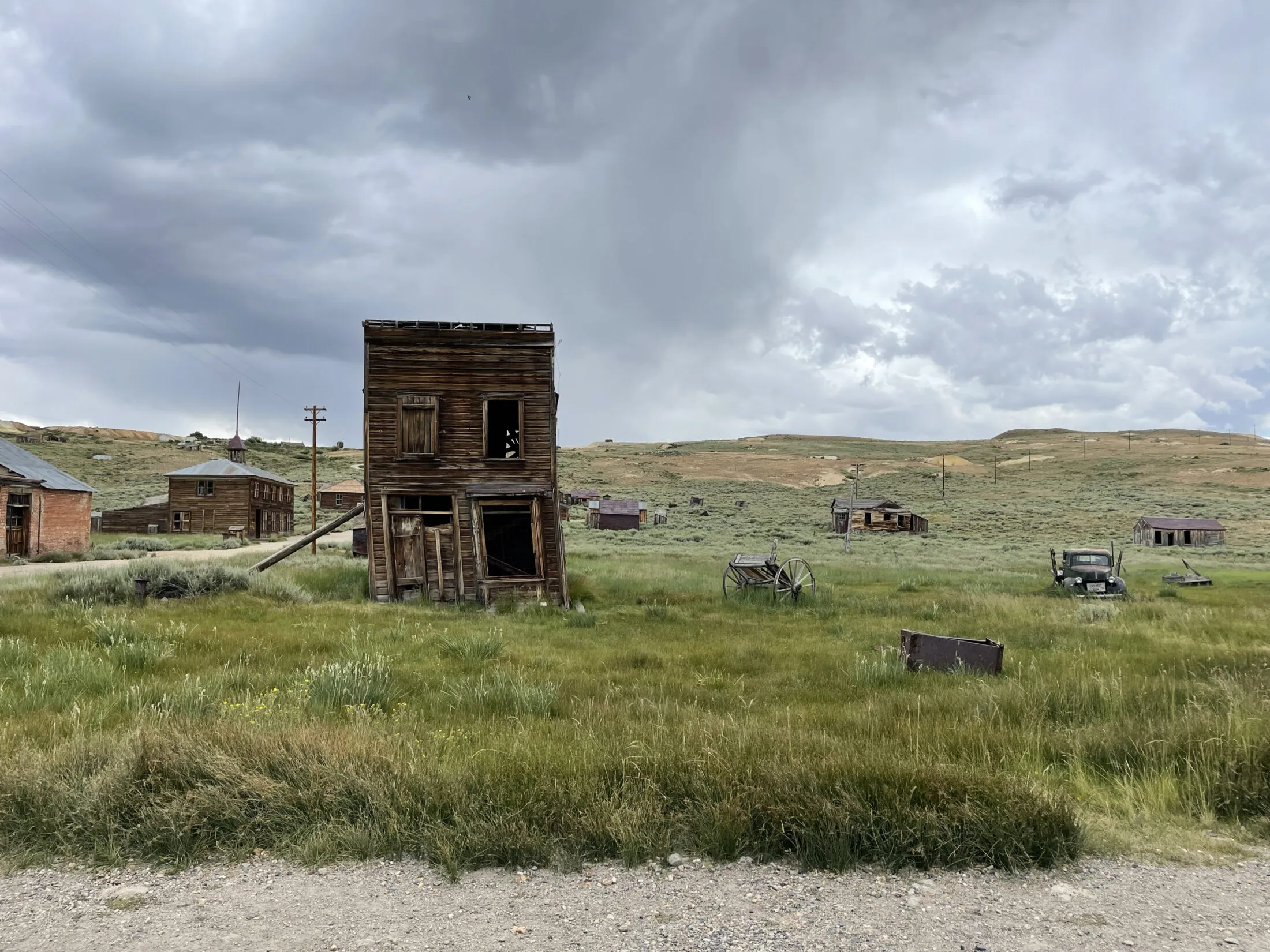
Bodie is a long drive from Yosemite, but if you feel like you need a break from hiking or the weather isn’t cooperating, it’s really an interesting place to visit.
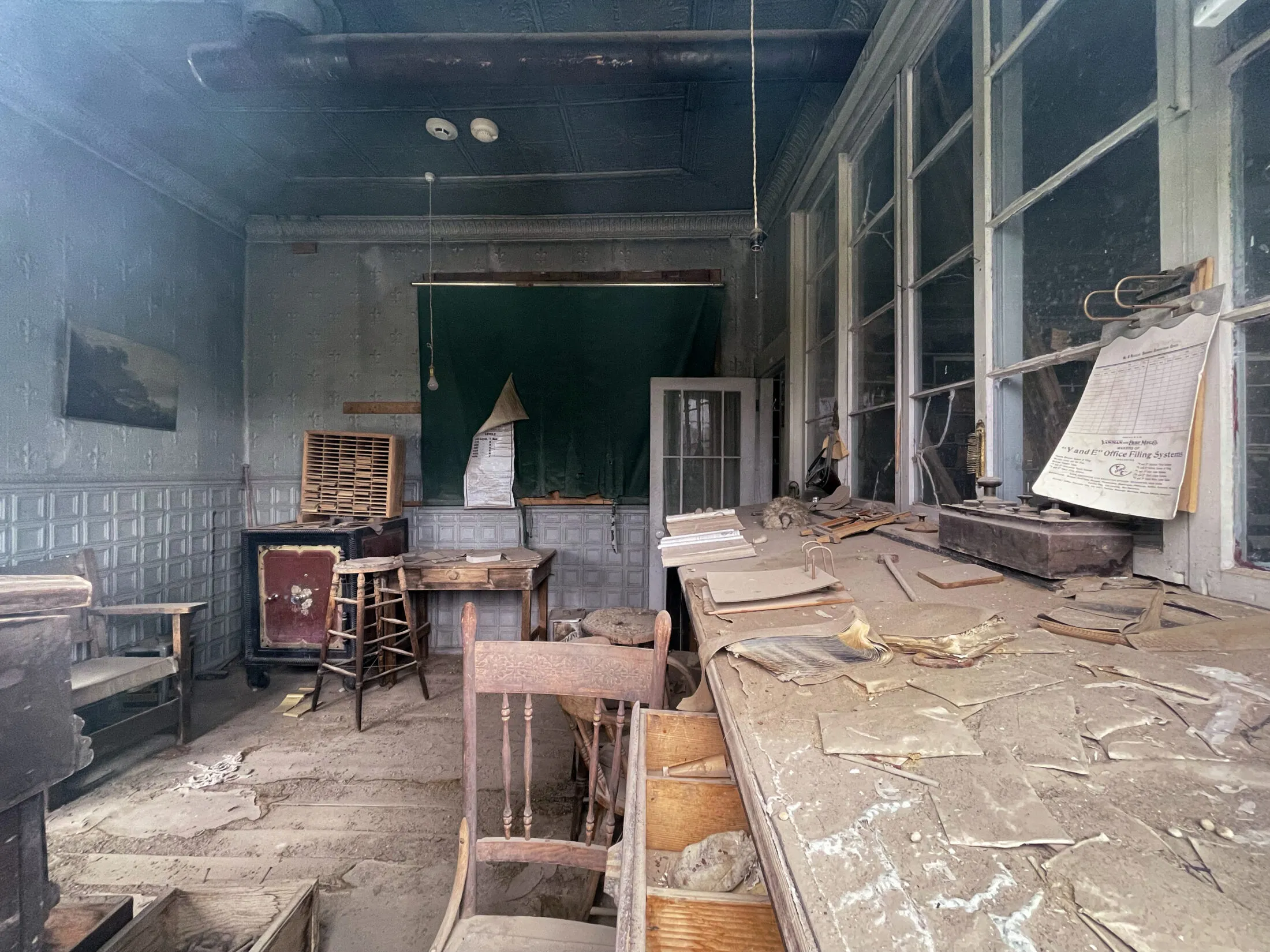
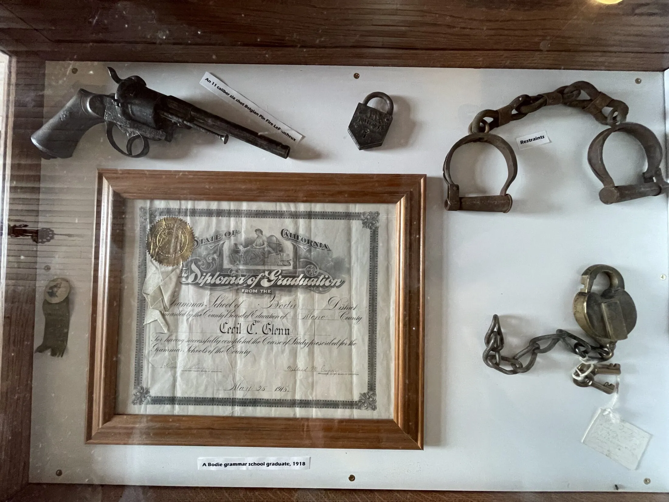
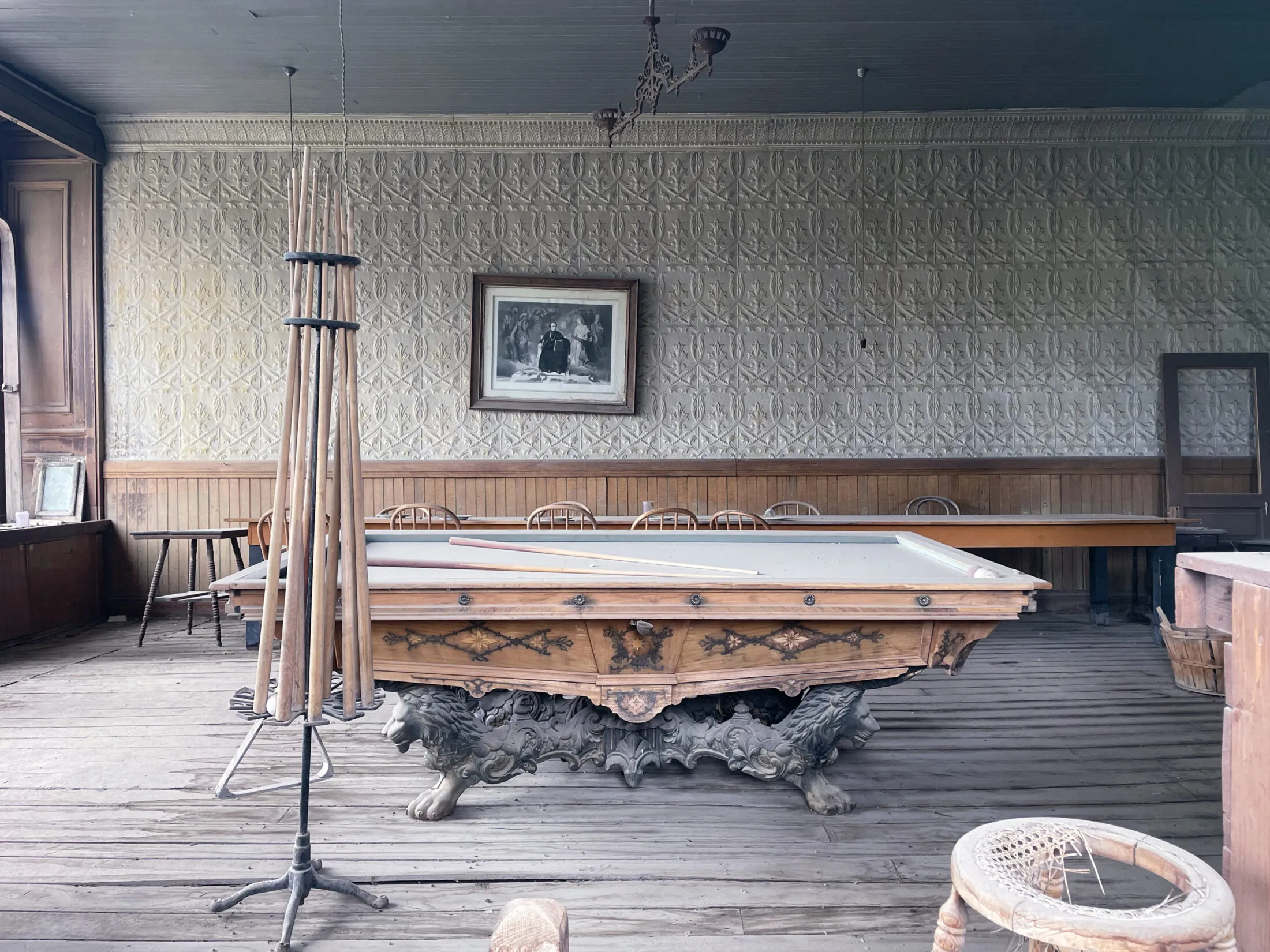
I had hoped we’d be able to go in and look at the old industrial facilities. We weren’t able to do that, but they do offer tours a couple of times a week.
Mono Lake
We considered stopping at the Mono Lake Visitor Center and taking the short hike to Mono Lake. Unfortunately, we realized that we were driving back into the storms we left behind.
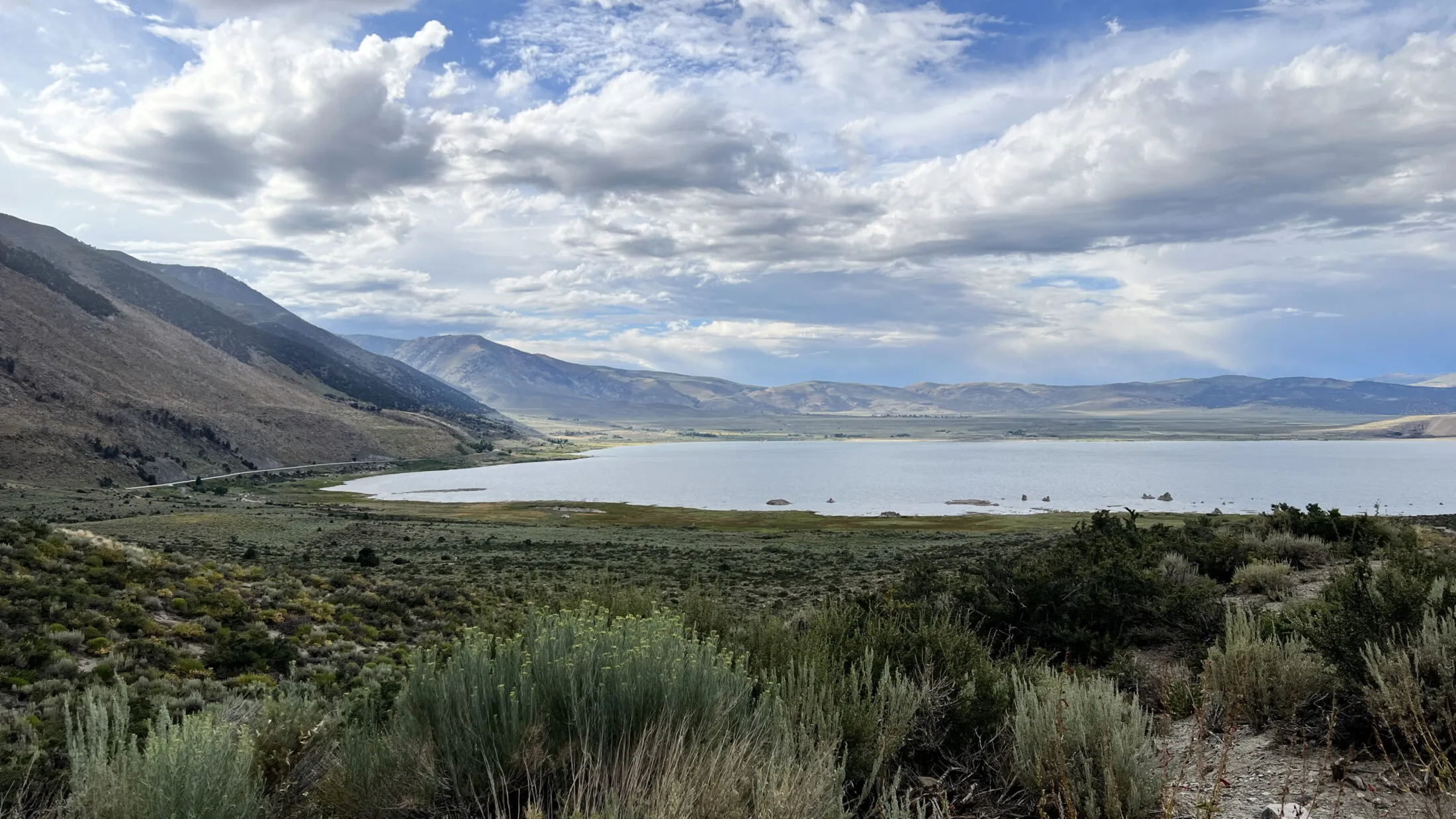
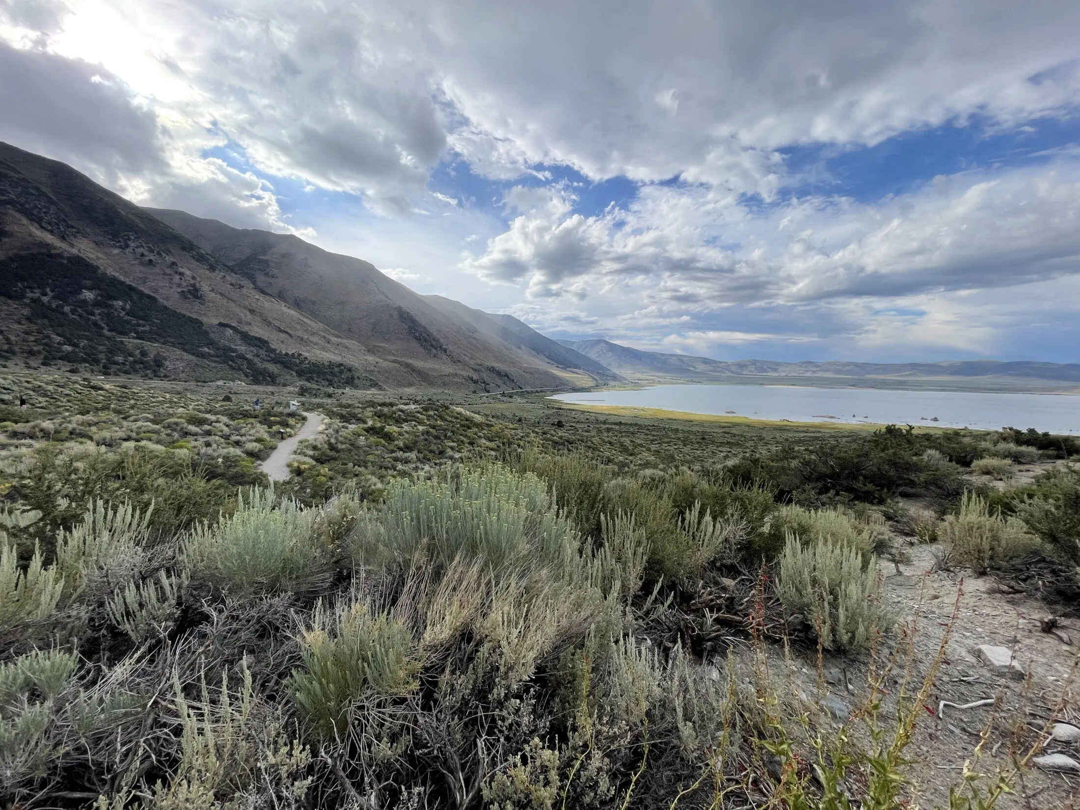
It wasn’t raining when we got to the visitor center, so we got out and took a few photos. As we got back into the car it started raining hard again. Glad we decided against the hike.
Olmstead Point
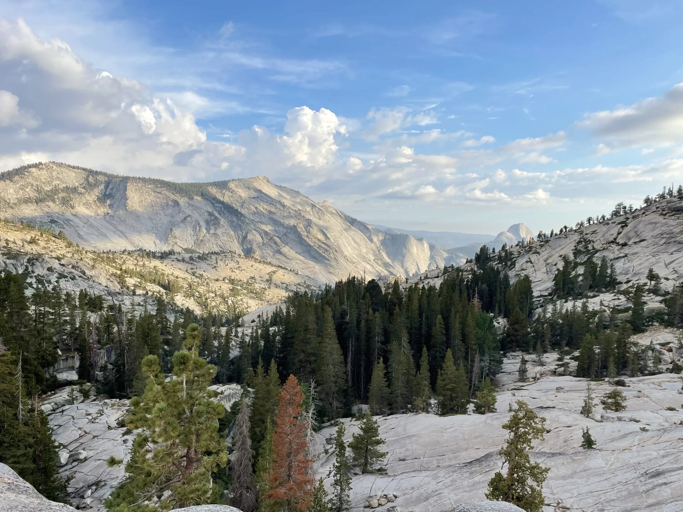
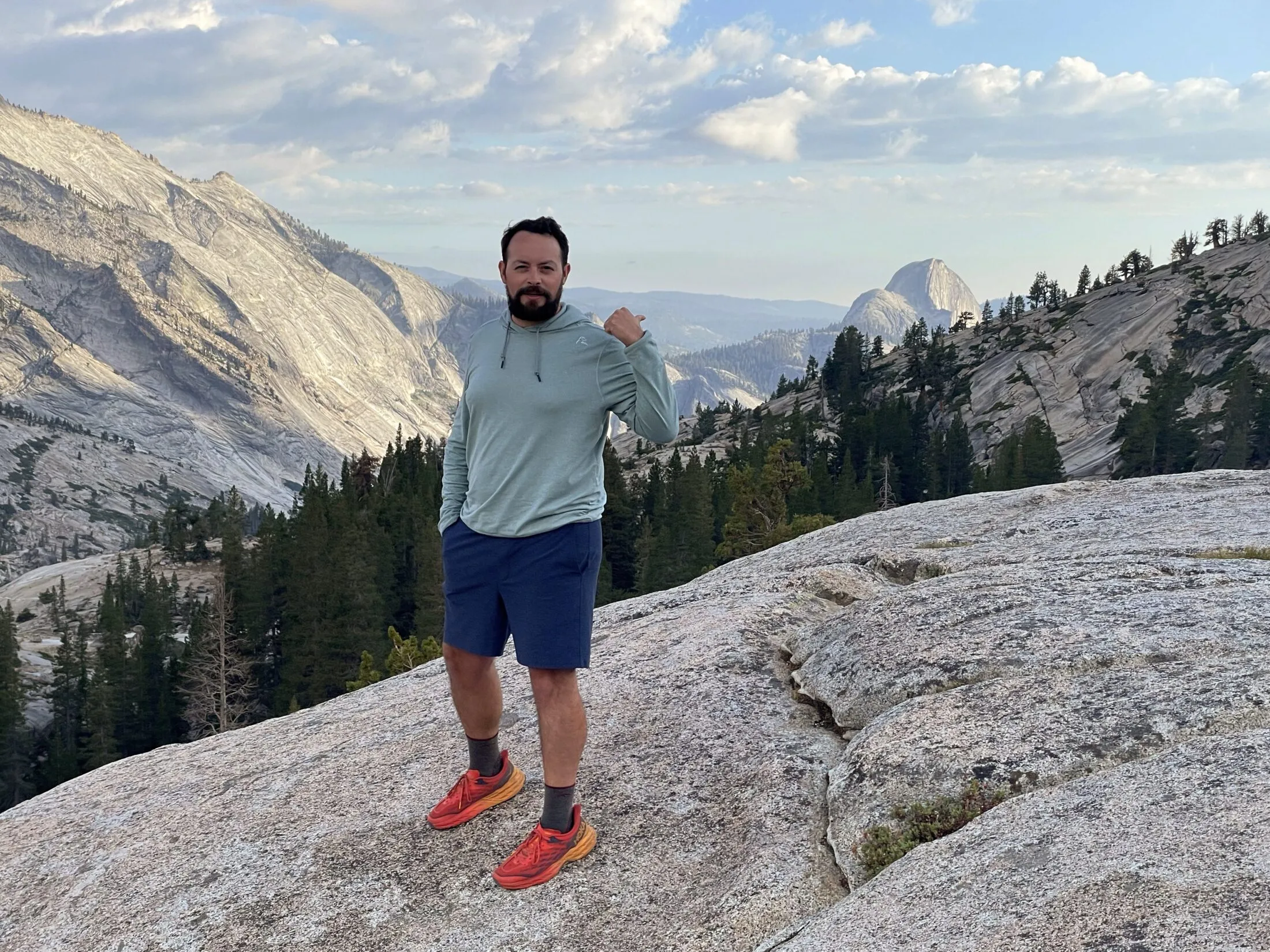
When heading back we did stop at Olmstead Point. It’s one of the better lookouts in the park. It gives a fantastic view of Clouds Rest with Half Dome in the background.
Day 3
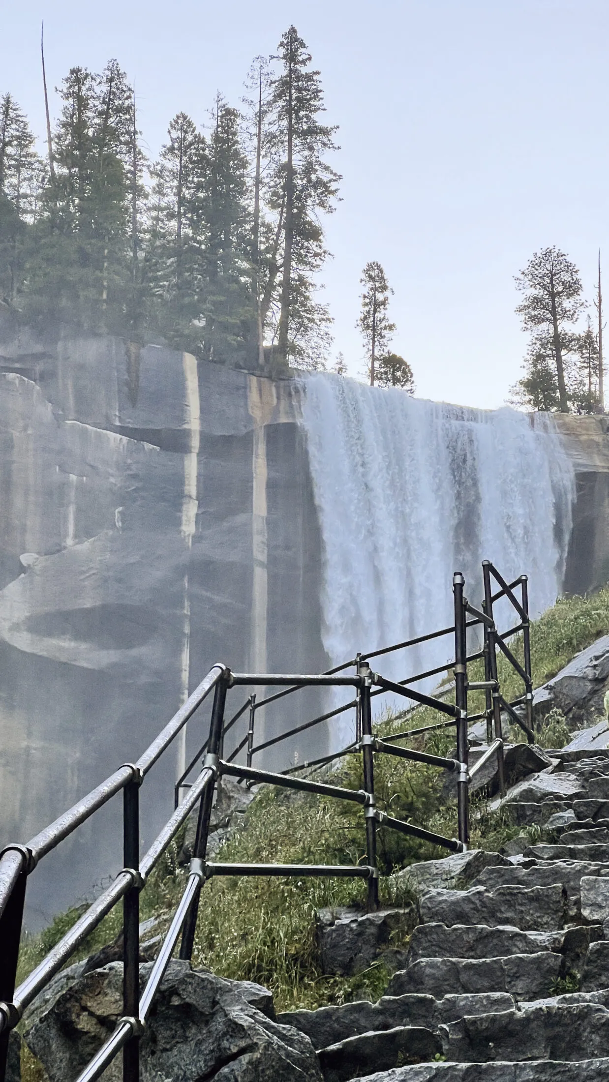
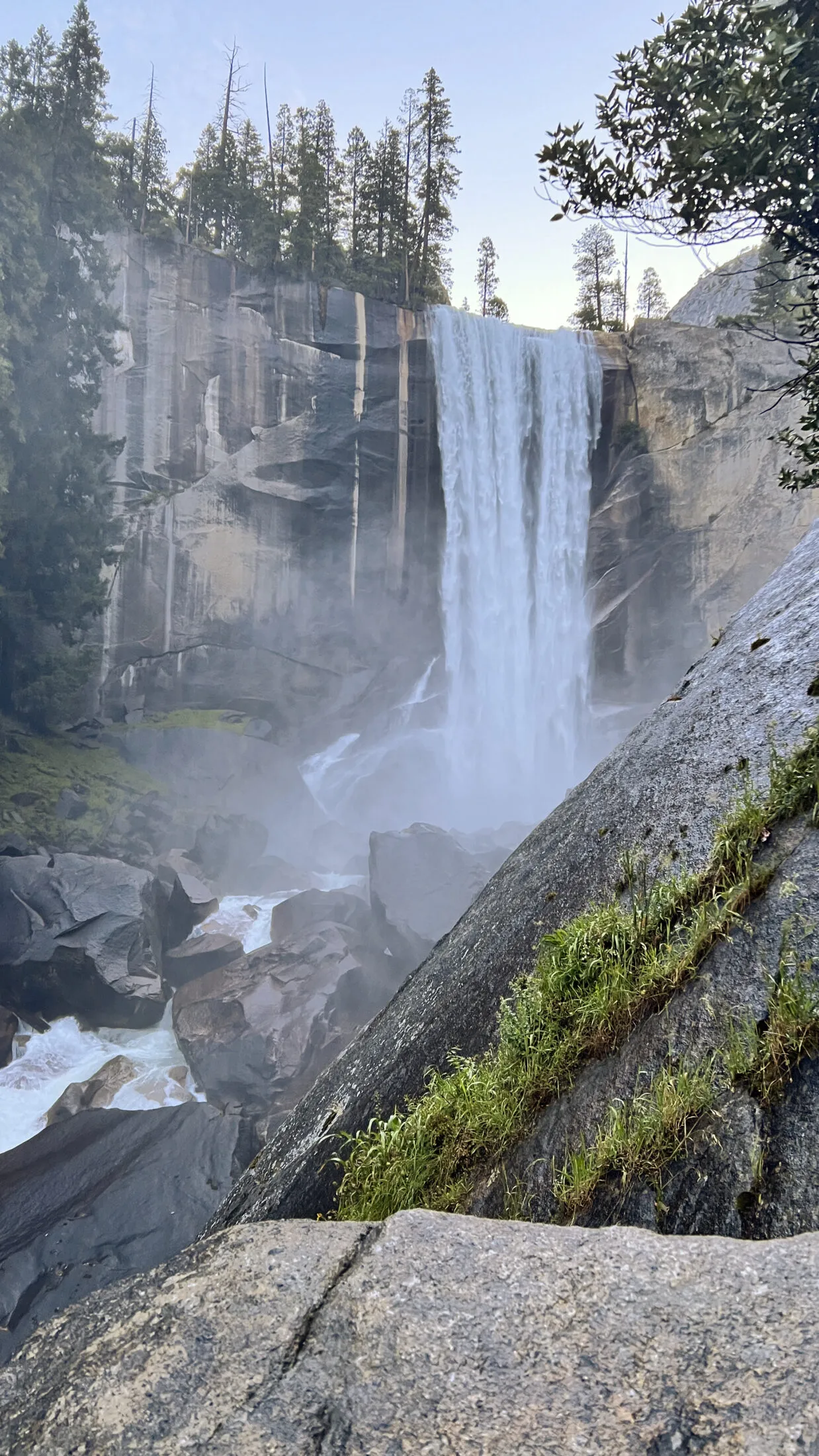
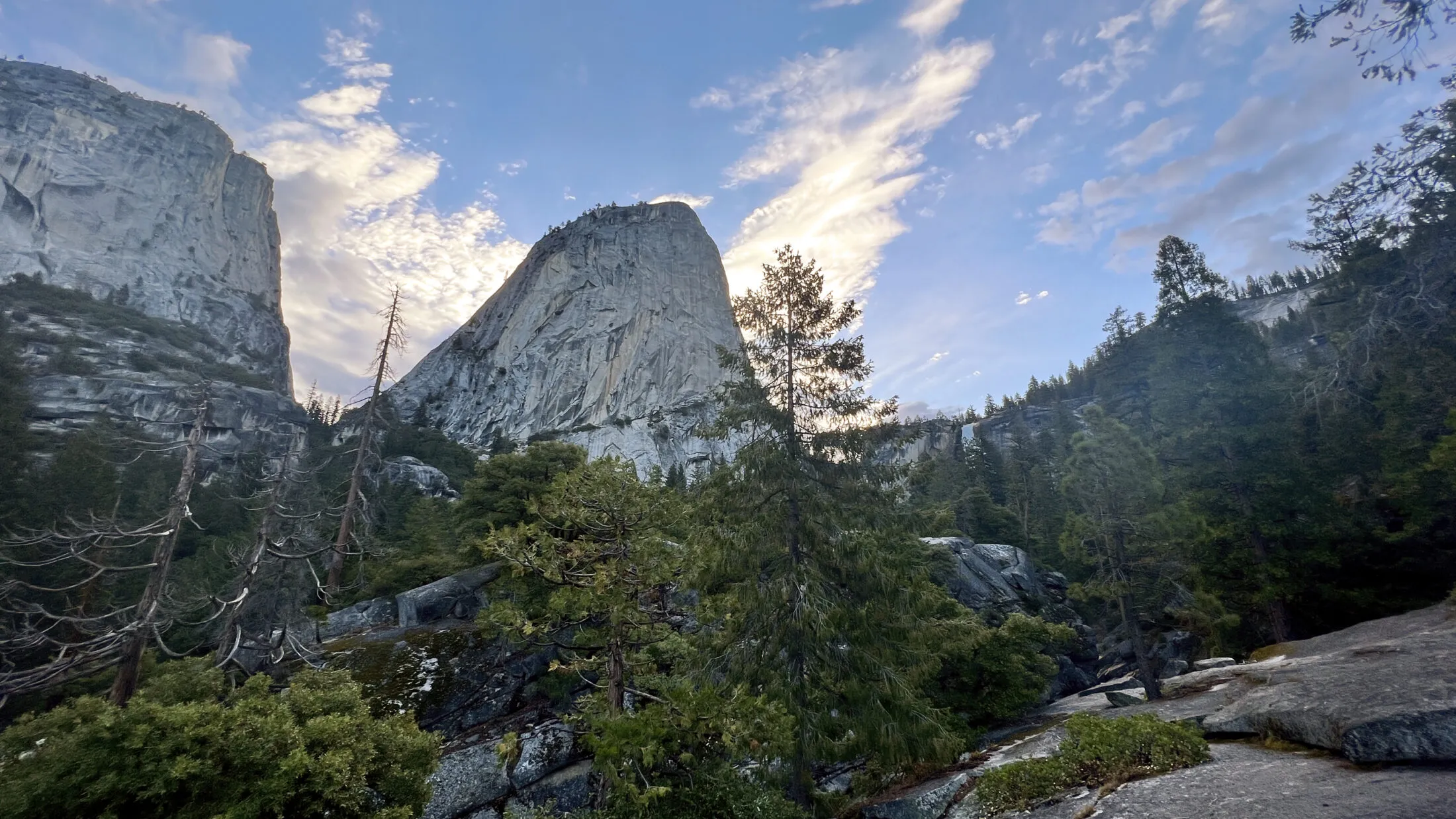
Yosemite Valley and the Mist Trail
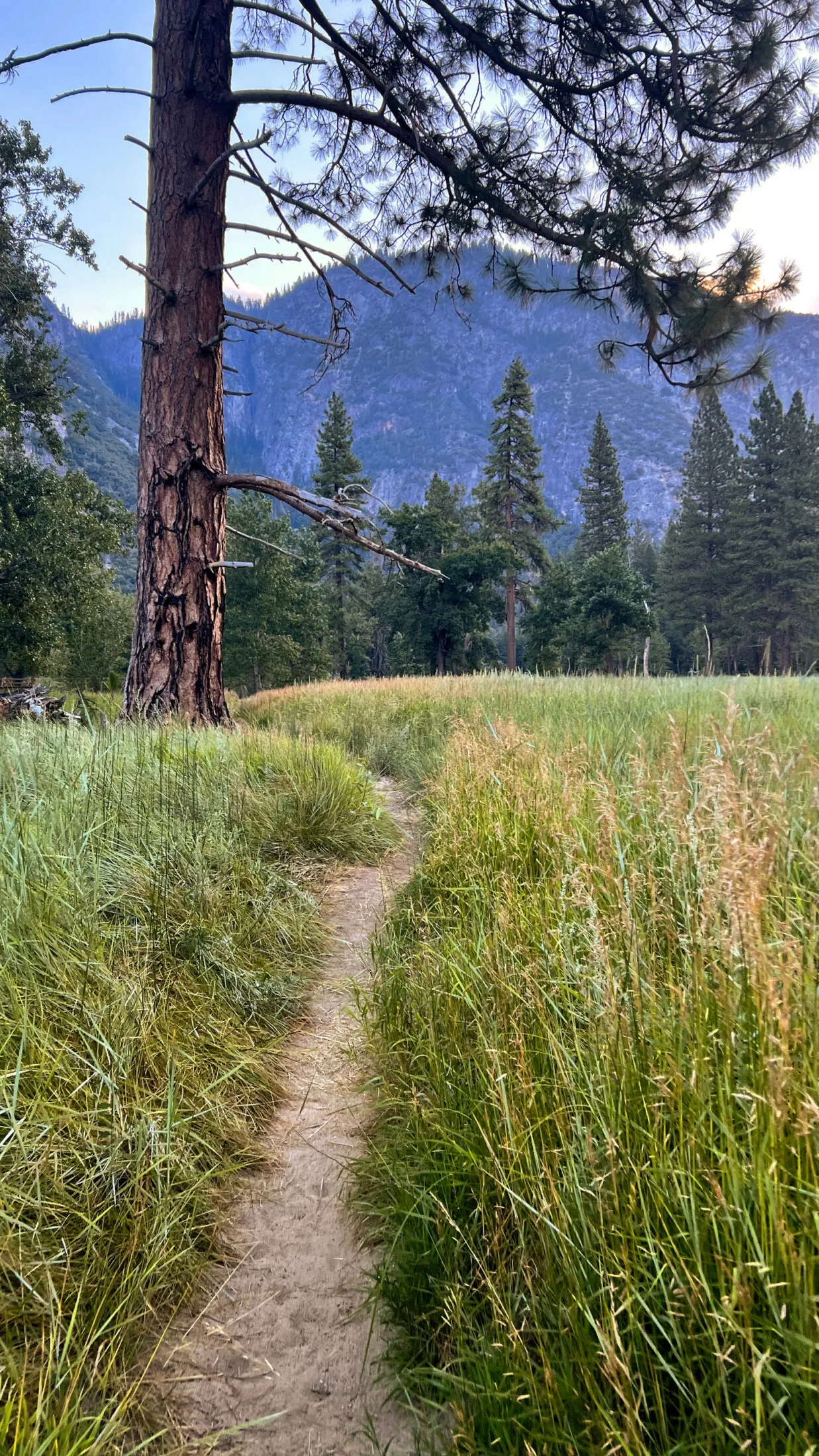
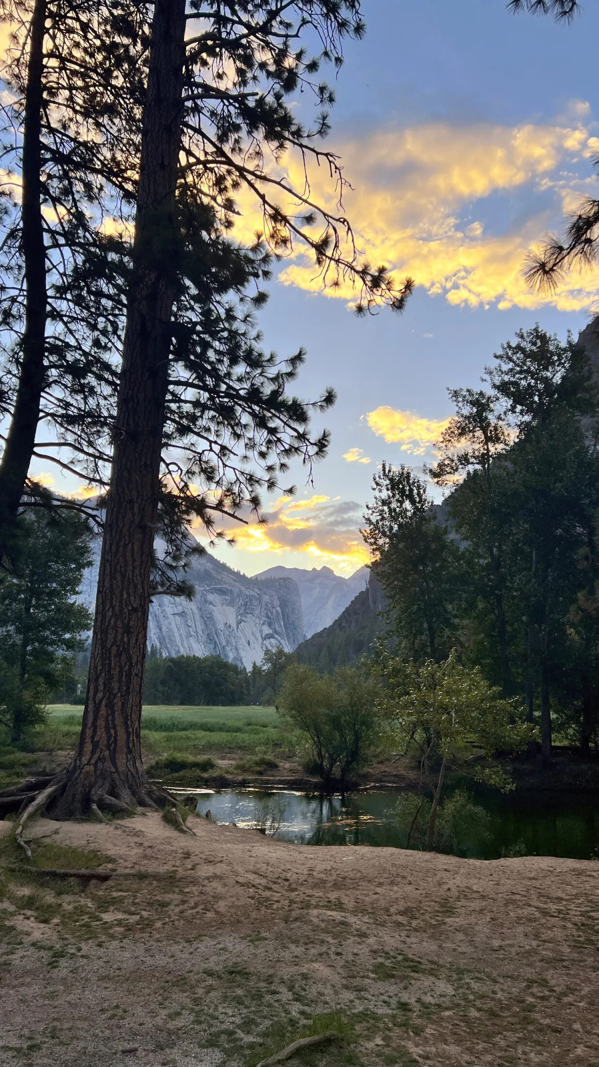
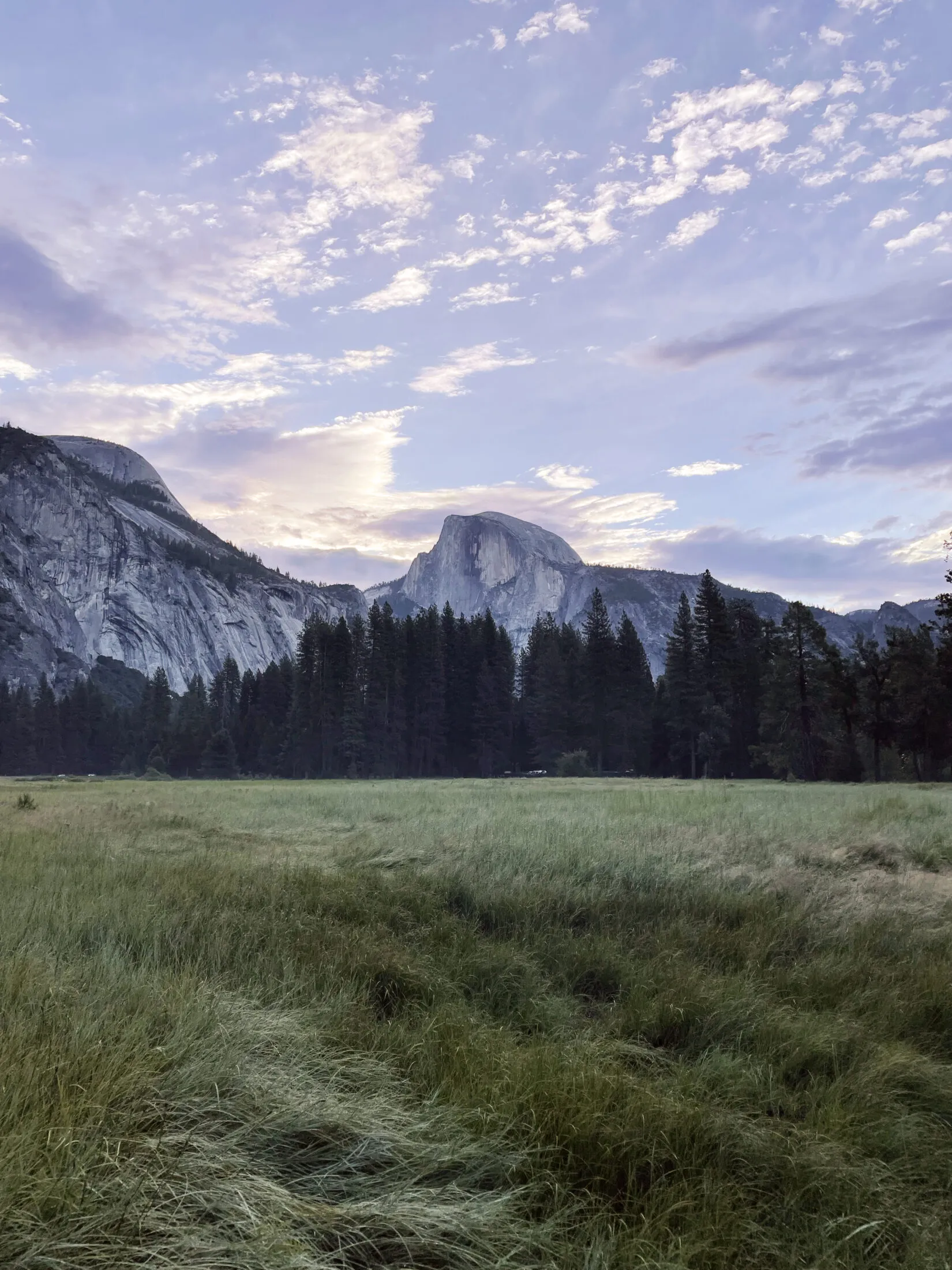
On our last full day Andi wanted to get up early and hike the Mist trail before breakfast. I wanted to go, but my knee was killing me. I opted to walk around Cooks Meadow and take a few pictures of the sunrise—so we split up.
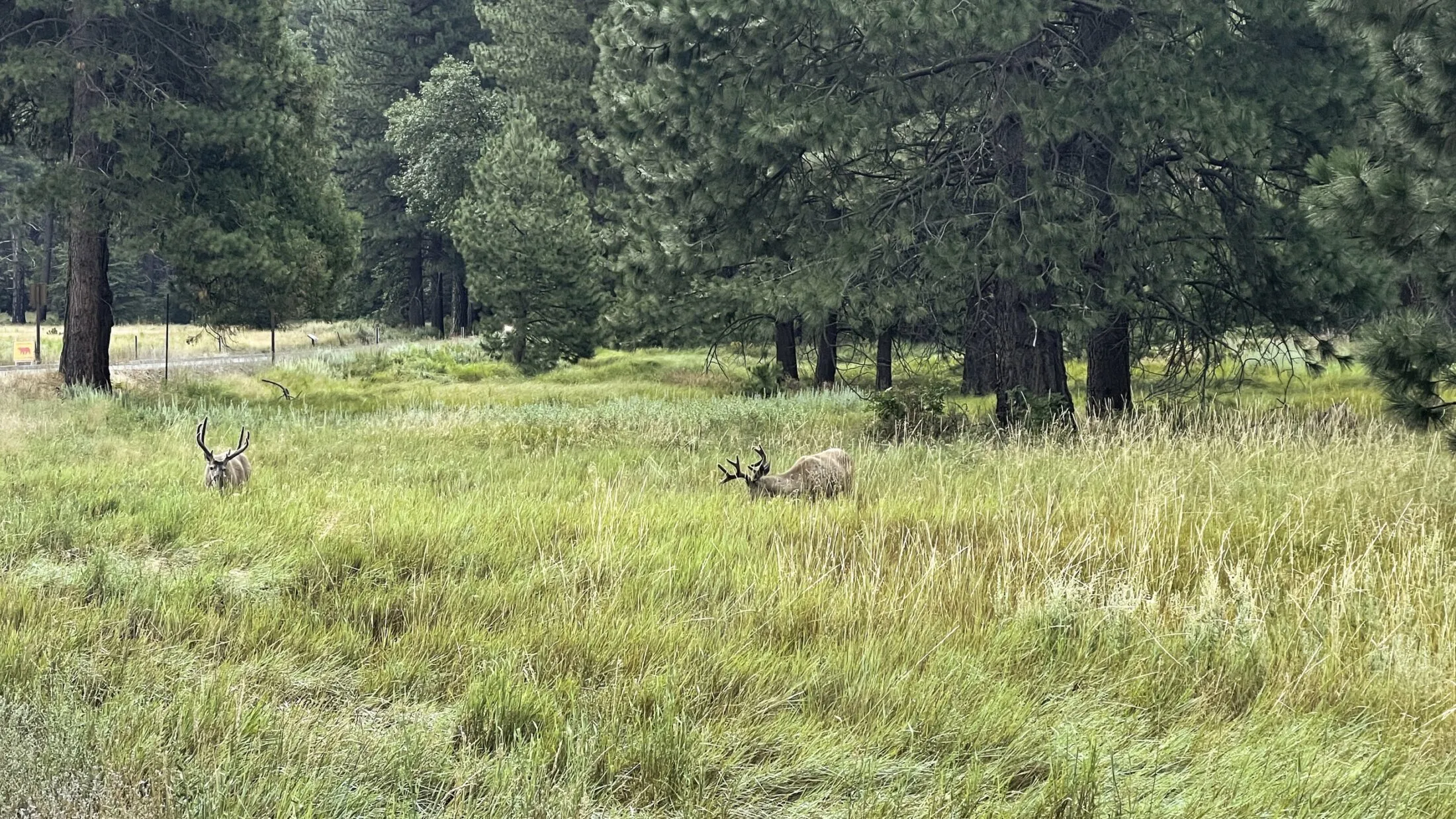
I did also get this amazing video of a black bear walking through the meadow.
I found a five foot area of matted tall grass next to the trail about a five minute walk from where I took this video. Black bears usually avoid humans, but they can be dangerous if you surprise them. Glad I didn’t show up a few minutes earlier.
While I was recording the bear, Andi got some wild shots of of Vernal and Nevada Falls.
The Ahwahnee and Mirror Lake
We had planned to do one of the day hikes in the valley, but made our first critical error—we decided to drive to the trailhead. By 10 a.m. the roads were madness. They were closing down parking lots. We should have taken the bus—it took us almost an hour to go a couple of miles. And by the time we got to the parking lot it was closed.
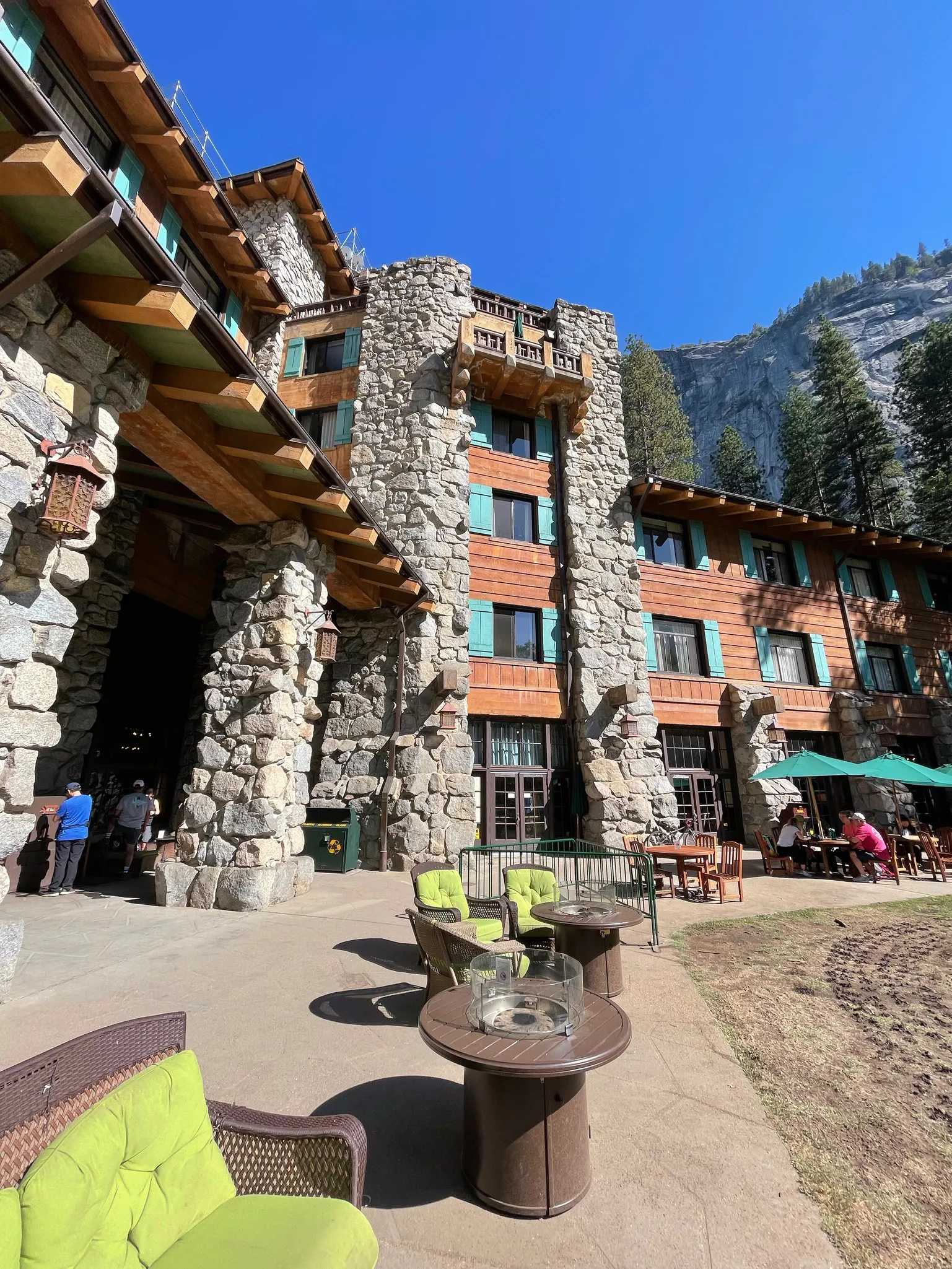
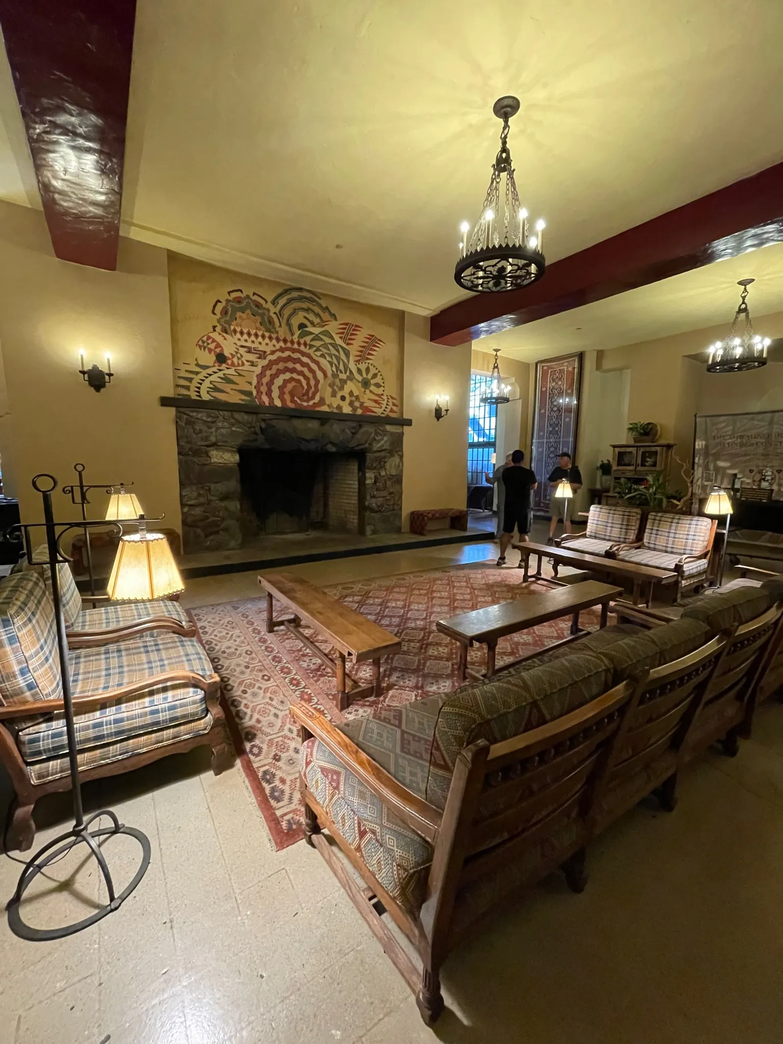
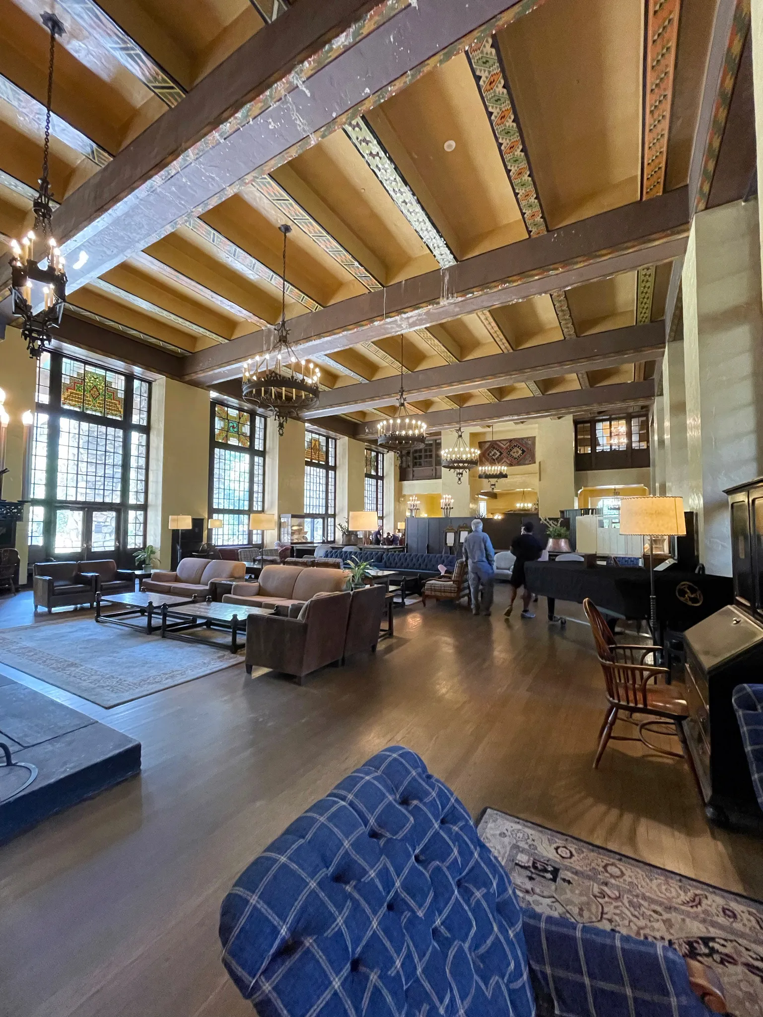
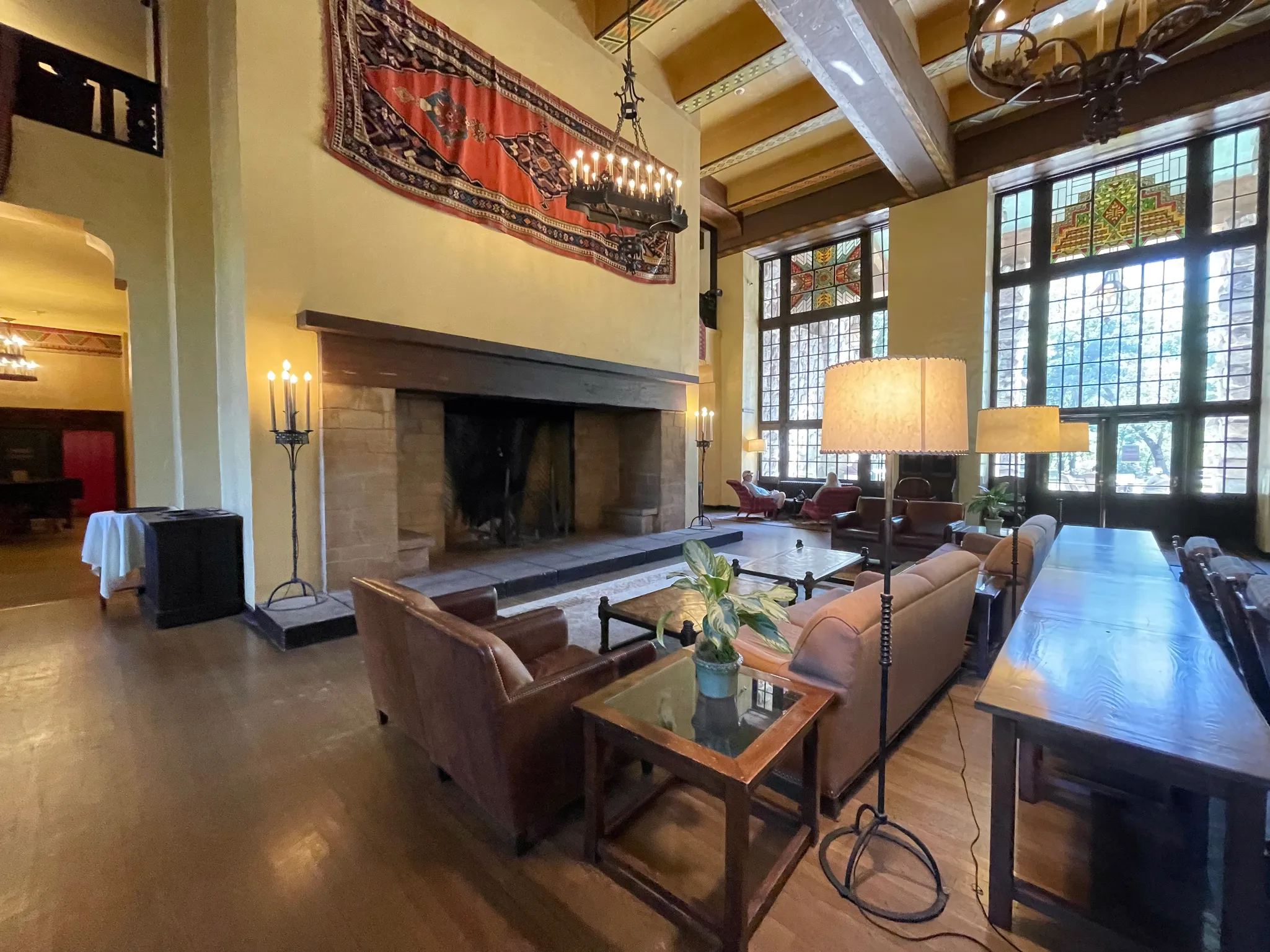
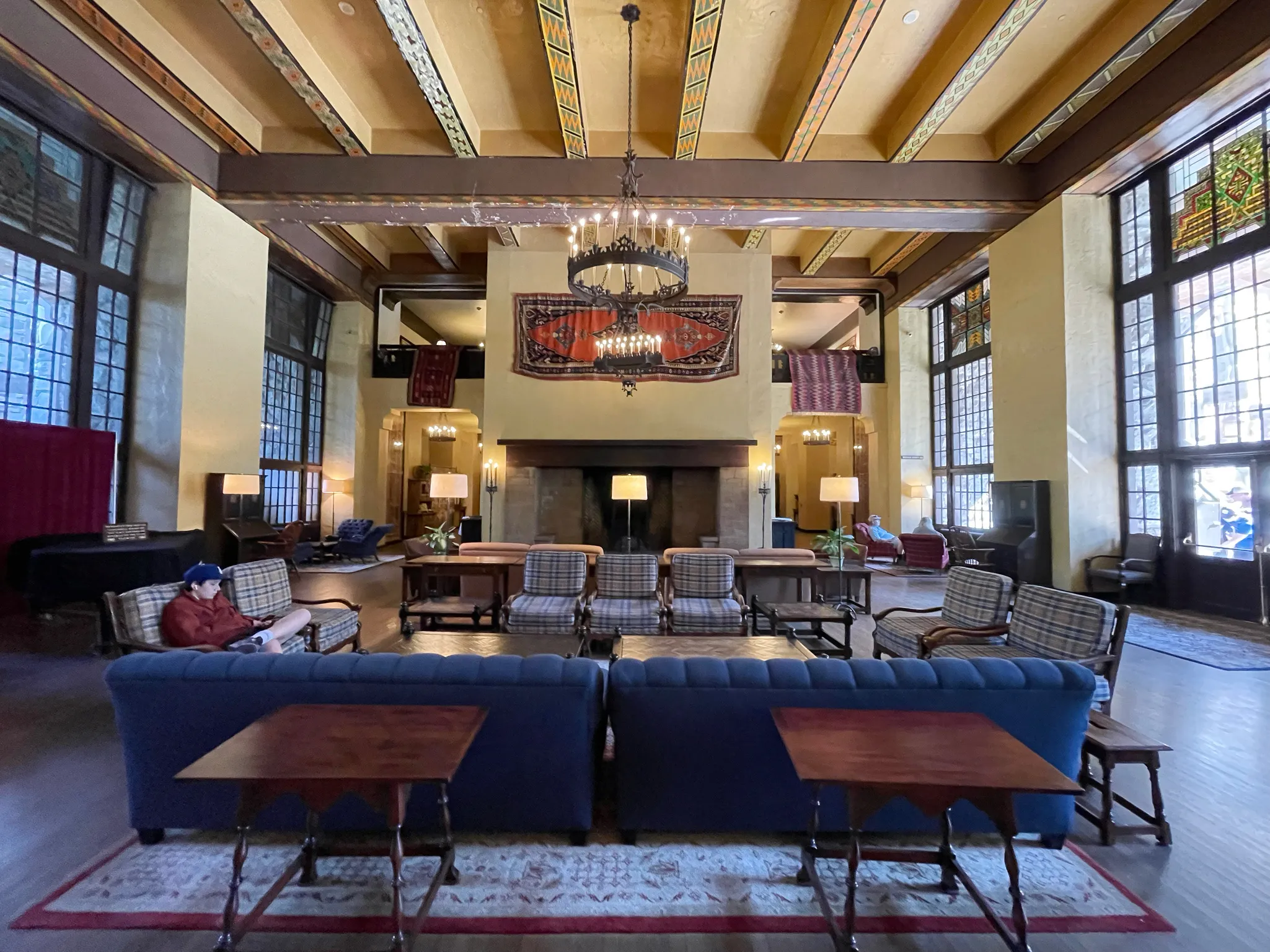
So we called an audible and decided to go visit The Ahwahnee and take the Mirror Lake trail. The lots were all full. My dad had the fantastic idea to valet the car at the hotel. That bought us a few hours to explore the hotel and go on a hike.
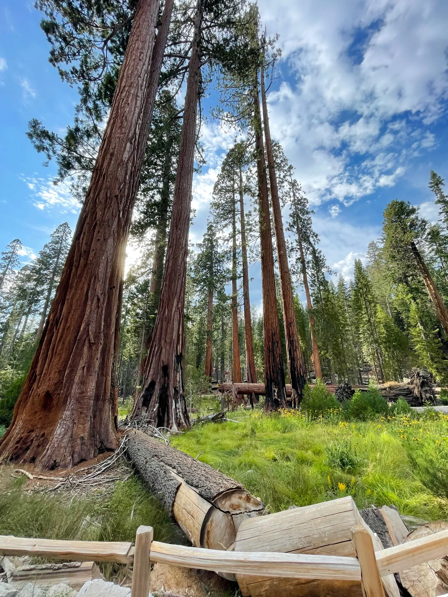
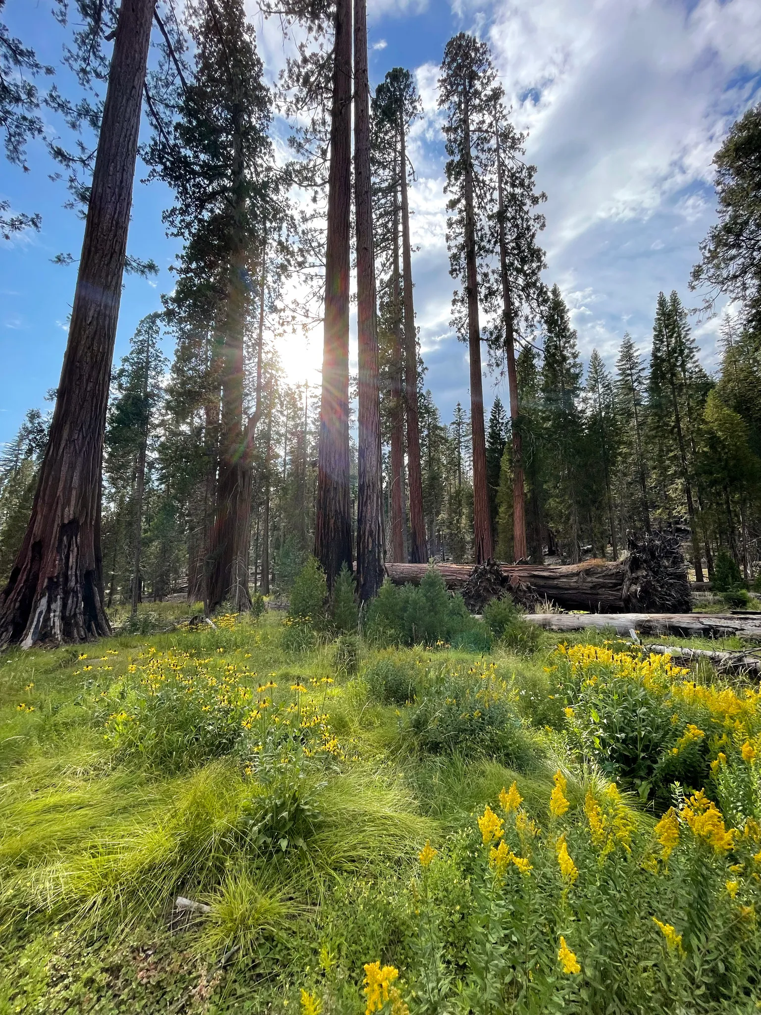
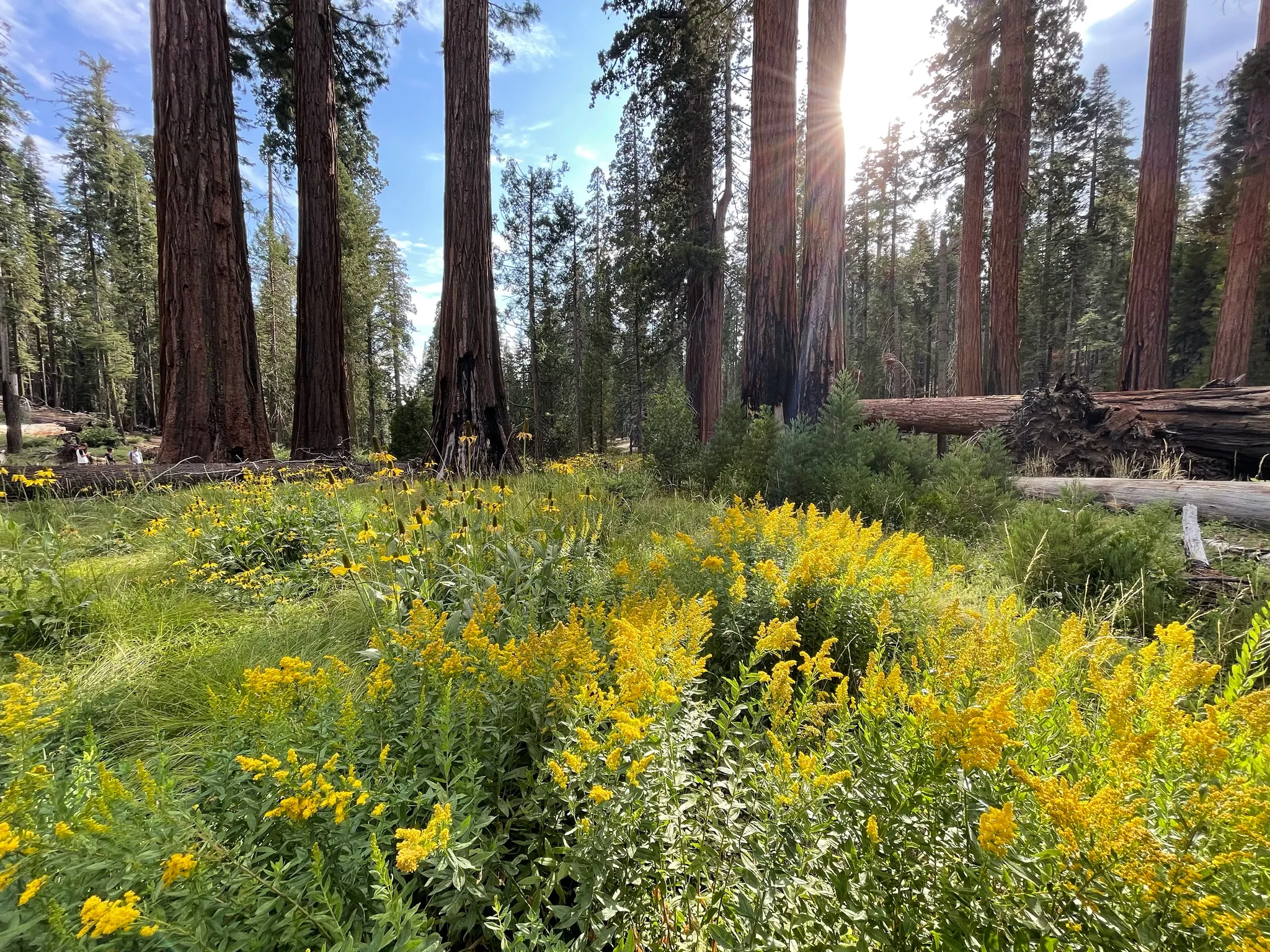
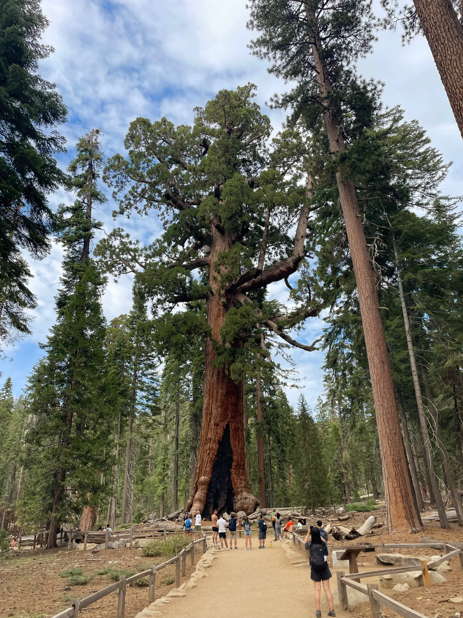
Tuolumne Grove
The second critical error was assuming since we were staying at the Yosemite Valley Lodge, we’d have a guaranteed parking space we we returned from The Ahwahnee and Mirror Lake. That was not the case at all—and it was maddening. We waited an hour competing with dozens of other people doing the same thing in the Lodge parking lot.
At that point, we decided it made more sense to leave Yosemite Valley. It was getting late so we decided to visit Tuolumne Grove, the other giant Sequoia grove in the park.
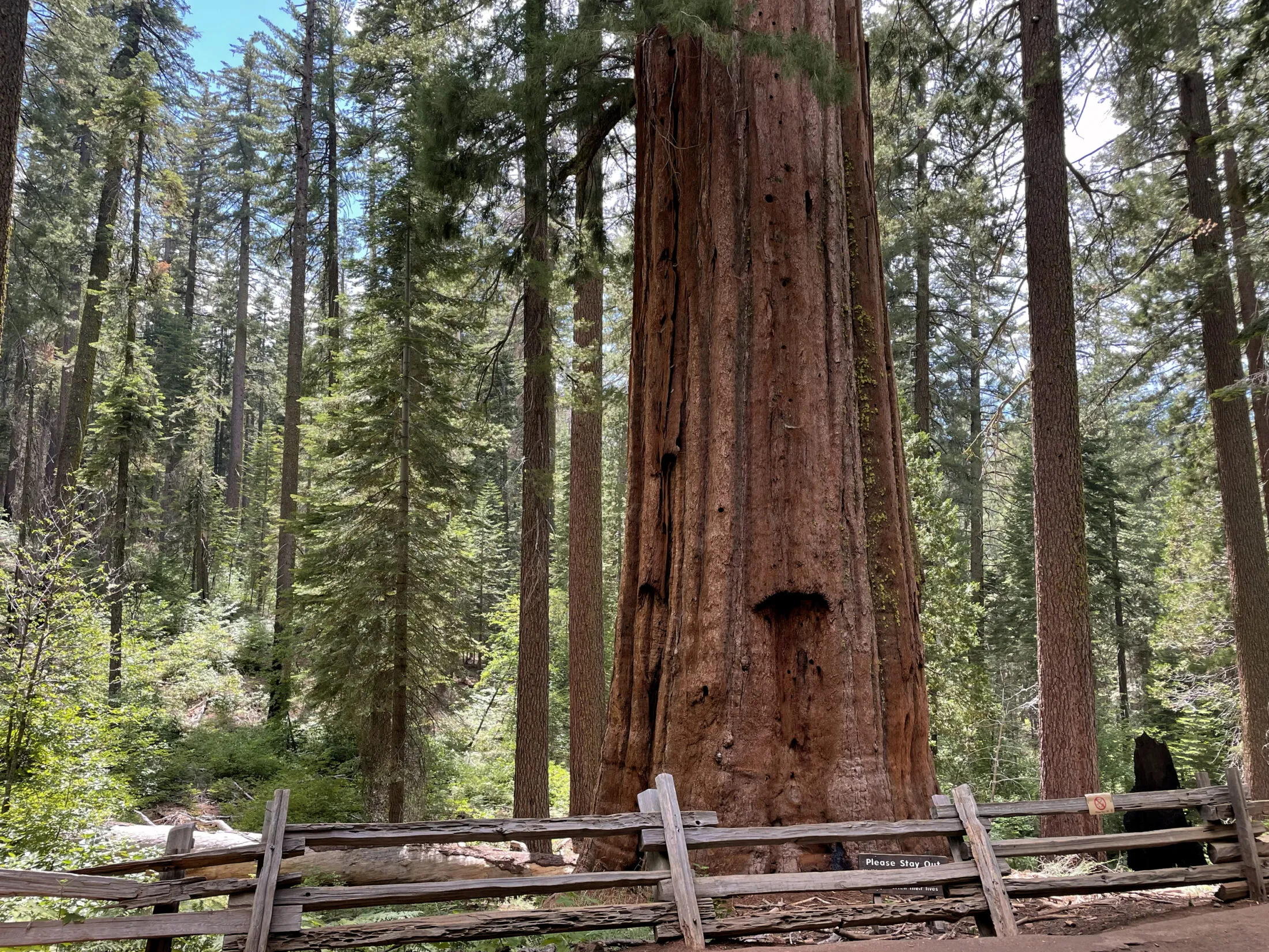
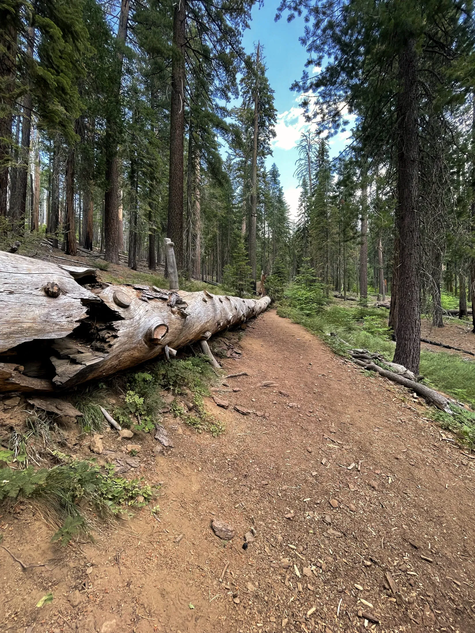
The Tuolumne grove is much smaller than the Mariposa Grove. The trail follows part of Old Big Oak Flat Road, which was one of the first roads in Yosemite. The trail is paved, but fairly steep.
I had the same issue taking photos as I did with the Mariposa Gove. The Sequoias are so big that it’s difficult to photograph them.
Departure
The next morning we got up, packed the car and headed for the San Francisco airport.
Despite not going as planned, we still had a fantastic time. It was great spending a few days exploring with Dad, Uncle Ron and Andi.